Aller au contenu principal

page search

Displaying 37 - 48 of 586

Assessing sponge cities performance at city scale using remotely sensed LULC changes: Case study Nanjing

Journal Articles & Books
Février, 2021

As a result of high-density urbanization and climate change, both the frequency and intensity of extreme urban rainfall are increasing. Drainage systems are not designed to cope with this increase, and as a result, floods are becoming more common in cities, particularly in the rapidly growing cities of China. To better cope with more frequent and severe urban flooding and to improve the water quality of stormwater runoff, the Chinese government launched the national Sponge City Construction (SCC) program in 2014.

Making the Third Dimension (3D) Explicit in Hedonic Price Modelling: A Case Study of Xi’an, China

Peer-reviewed publication
Janvier, 2021
China

Recent rapid population growth and increasing urbanisation have led to fast vertical developments in urban areas. Therefore, in the context of the dynamic property market, factors related to the third dimension (3D) need to be considered. Current hedonic price modelling (HPM) studies have little explicit consideration for the third dimension, which may have a significant influence on modelling property values in complex urban environments.

Comparison of Simple Averaging and Latent Class Modeling to Estimate the Area of Land Cover in the Presence of Reference Data Variability

Peer-reviewed publication
Janvier, 2021
Hong Kong
Norway

Estimates of the area or percent area of the land cover classes within a study region are often based on the reference land cover class labels assigned by analysts interpreting satellite imagery and other ancillary spatial data. Different analysts interpreting the same spatial unit will not always agree on the land cover class label that should be assigned. Two approaches for accommodating interpreter variability when estimating the area are simple averaging (SA) and latent class modeling (LCM).

Geographic Information Systems and the Sustainable Development of Rural Areas

Peer-reviewed publication
Janvier, 2021
Poland
United States of America

Sustainable development is socioeconomic growth that integrates political, economic, and social measures alongside environmental protection to meet the needs of communities and citizens without compromising the ability of future generations to meet their needs. The sustainable development concept was initially based on three main pillars: environment, economy, and society. In successive years, this concept has been expanded to include new pillars. The awareness of these changes has influenced our research interests.

A Proposed Land Exchange Algorithm for Eliminating the External Plot Patchwork

Peer-reviewed publication
Janvier, 2021
Norway
Poland
United States of America
Europe

In many countries of the world, rural areas are characterized by a defective spatial structure of agricultural land. The most frequent defects are large fragmentation and distribution of farmland. The fragmentation of land has been an issue widely described by many authors throughout the world. The problem of the distribution of land owned by individual farmers is slightly different, since due to the complexity of the problem this issue was not widely explored in Poland (plot patchwork) or in other countries of Europe and the world.

Tracking the Role of Policies and Economic Factors in Driving the Forest Change Trajectories within the Guangdong-Hongkong-Macao Region of China: A Remote Sensing Perspective

Peer-reviewed publication
Janvier, 2021
Australia
Belgium
Canada
China
Russia
United States of America

Though forest ecosystems play a critical role in enhancing ecological, environmental, economic, and societal sustainability, on a global scale, their future outlooks are uncertain given the wide-ranging threats they are exposed to. The uniqueness of this study is to provide a line of evidence in which forest change trajectories are not only tracked but also evaluated through the lenses of forestry and economic oriented events’ timelines. The dynamics of forest change trajectories were mined using a temporal model.

Spatial Variations of Vegetation Index from Remote Sensing Linked to Soil Colloidal Status

Peer-reviewed publication
Janvier, 2021
United States of America

Recent decades have seen a progressive degradation of soils owing to an intensification of farming practices (weeding and high trafficking), increasing use of pesticides and fertilizers, mainly nitrogen, resulting in a steady decline in soil organic matter, a key component to maintain soil fertility. The work has coupled the normalized difference vegetation index (NDVI) of wheat cultivation in Central Italy to soil properties where the wheat was grown to identify the properties linked to within-field variability in productivity.

Land Cover Change in the Blue Nile River Headwaters: Farmers’ Perceptions, Pressures, and Satellite-Based Mapping

Peer-reviewed publication
Janvier, 2021
Ethiopia
Norway

The headwaters of the Blue Nile River in Ethiopia contain fragile mountain ecosystems and are highly susceptible to land degradation that impacts water quality and flow dynamics in a major transboundary river system. This study evaluates the status of land use/cover (LULC) change and key drivers of change over the past 31 years through a combination of satellite remote sensing and surveying of the local understanding of LULC patterns and drivers.

Evaluation des zones potentielles d’eaux souterraines avec l’utilisation des SIG et de la télédétection Cas du sous-bassin de la Sandougou (bassin de la Gambie)

Peer-reviewed publication
Décembre, 2020
Afrique

Groundwater is an important natural resource for domestic, agricultural and industrial use. Today, due to climate change, population growth, advanced irrigation practices and industrial uses, the demand for groundwater has increased considerably, and needs to be assessed. This article aims to delimit the potential groundwater zones in the Sandougou basin using GIS and remote sensing. The multi-criteria decision analysis technique (MCDA) is used by integrating different thematic layers.

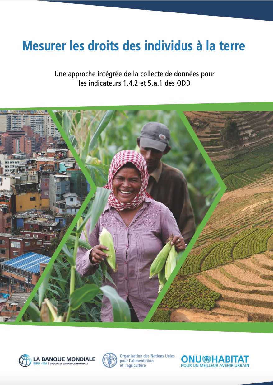
Mesurer les droits des individus à la terre

Reports & Research
Décembre, 2020
Afrique
Amériques
Asie
Europe
Océanie

Ce document vise à faciliter la collecte de données comparable entre pays pour le calcul des indicateurs des ODD 1.4.2 et 5.a.1 conformément aux méthodologies approuvées par l’IAEG-SDG. Cette publication donne un aperçu des indicateurs, une discussion sur les différents modules de questionnaire proposés et des conseils détaillés pour chacun.

Estimating the Impact of Urban Planning Concepts on Reducing the Urban Sprawl of Ulaanbaatar City Using Certain Spatial Indicators

Peer-reviewed publication
Décembre, 2020
Mongolia

The urban sprawl process of Ulaanbaatar has changed dramatically due to population growth. Ulaanbaatar city land management master plan defined the settlement zone area suitable for living as 33,698 ha. However, due to unrestricted urban sprawl caused by the exponential growth of the city’s population, the settlement zone area reached 39,235 ha, which exceeds the limit by 5537 ha. In order to tackle this issue, several urban planning concepts were developed to be implemented within Ulaanbaatar city urban planning framework.

Exploring the Dynamics of Urban Greenness Space and Their Driving Factors Using Geographically Weighted Regression: A Case Study in Wuhan Metropolis, China

Peer-reviewed publication
Décembre, 2020
China
Russia
United States of America

Urban greenness plays a vital role in supporting the ecosystem services of a city. Exploring the dynamics of urban greenness space and their driving forces can provide valuable information for making solid urban planning policies. This study aims to investigate the dynamics of urban greenness space patterns through landscape indices and to apply geographically weighted regression (GWR) to map the spatially varied impact on the indices from economic and environmental factors.