Aller au contenu principal

page search

Displaying 73 - 84 of 586

Exploring land use/land cover changes, drivers and their implications in contrasting agro-ecological environments of Ethiopia

Peer-reviewed publication
Août, 2019
Éthiopie

This study examined the trends, driving factors, and implications of land use/land cover (LULC) dynamics over the past 35 years (1982–2017) in three watersheds of the drought-prone areas that represent different agro-ecologies of Upper Blue Nile basin, Ethiopia: Guder (highland), Aba Gerima (midland), and Debatie (lowland). The changes in LULC were analyzed by integrating field observations, remote-sensing data (aerial photographs [1: 50,000 scale] and very high resolution [0.5–3.2 m] satellite images), and geographic information systems.

Tech and Transparency: democratising data and empowering communities with cutting-edge technologies

Reports & Research
Juillet, 2019
Tanzania
Jamaica
Global

lack of transparency in the land and property sector prevents individuals, communities and governments from unlocking the value of the property as an asset, and undermines policies and legal frameworks that aim to provide land tenure security, potentially leading to a misallocation of rights. In fact, land governance is ranked among the sectors in which people are most likely to pay bribes for access to services, according to Transparency International’s Global Corruption Barometer.

Development Assessment of the Singapore Land

Peer-reviewed publication
Juillet, 2019
Singapore

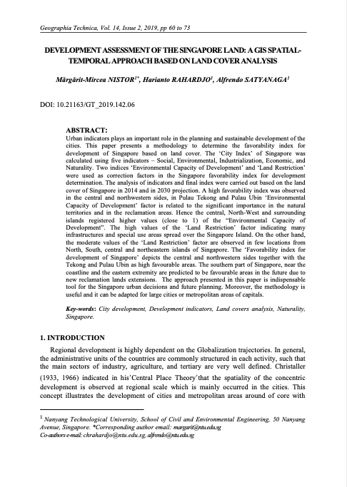
Urban indicators plays an important role in the planning and sustainable development of the cities. This paper presents a methodology to determine the favorability index for development of Singapore based on land cover. The ‘City Index’ of Singapore was calculated using five indicators – Social, Environmental, Industrialization, Economic, and Naturality. Two indices ‘Environmental Capacity of Development’ and ‘Land Restriction’ were used as correction factors in the Singapore favorability index for development determination.

Detection of Urban Development in Uyo (Nigeria) Using Remote Sensing

Peer-reviewed publication
Juin, 2019
Nigéria

Uyo is one of the fastest-growing cities in Nigeria. In recent years, there has been a widespread change in land use, yet to date, there is no thorough mapping of vegetation change across the area. This study focuses on land use change, urban development, and the driving forces behind natural vegetation loss in Uyo.

Multi-Criteria Decision Analysis for the Land Evaluation of Potential Agricultural Land Use Types in a Hilly Area of Central Vietnam

Peer-reviewed publication
Juin, 2019
Global

Land evaluation is a process that is aimed at the sustainable development of agricultural production in rural areas, especially in developing countries. Therefore, land evaluation involves many aspects of natural conditions, economic, and social issues. This research was conducted in a hilly region of Central Vietnam to assess the land suitability of potential agricultural land use types that are based on scientific and local knowledge.

SPATIAL SIMULATION BASED ON GEOGRAPHIC INFORMATION SYSTEM (GIS) AND CELLULAR AUTOMATA (CA) FOR LAND USE CHANGE MODELING IN SINGARAJA CITY AND ITS SURROUNDING AREA

Reports & Research
Mai, 2019
Indonesia
India

Singaraja is the second largest city after Denpasar in Bali. The magnitude of the potential of the region both trade and services, agriculture and tourism in Buleleng Regency has given a very broad impact not only on the economy but also the use of land. Economic development in the city of Singaraja cause some effects such as population growth, an increasing number of facilities (social, economic, health, and others), as well as changes in land use. Changes in land use have a serious impact on the environment in the city of Singaraja.

A Preliminary Study on The Formation of Land Legislation and Cadastre System in Sarawak, Malaysia

Peer-reviewed publication
Avril, 2019
Malaysia

Recent decades have witnessed a perceptible impact of land policy and cadastre on the urbanisation around the globe. Land legislation and cadastre system are the tools and mechanisms in order to achieve the objectives of land policy in delivering sustainable development. According to the Federal Constitution of Malaysia, article 74 empowers the State Legislative Assemblies to enact laws for the matters under the state list while land matters are one of the subjects under the list.

Recours aux satellites pour appuyer le management de l’eau d’irrigation: Estimation des besoins en eau des agrumes par télédétection dans la Plaine de Triffa-Berkane (Maroc)

Peer-reviewed publication
Avril, 2019
Maroc

Les agrumes représentent la première culture irriguée dans la plaine de Trifa (Berkane, Maroc) avec une superficie en extension continue. Ceci accentue les pressions sur les ressources en eau déjà limitées dans la région. De ce fait, une gouvernance efficace et rationnelle de l’eau agricole s’impose. Dans ce travail, nous proposons une approche basée sur les observations satellitaires pour appuyer la gestion de l’eau d’irrigation consommée par les surfaces agrumicoles.

Cadastral Data Model for an Informal Settlement: Case Study of Huruma, Nairobi – Kenya

Peer-reviewed publication
Avril, 2019
Kenya

The complexity of tenure claims in the informal settlements has been difficult to incorporate into the formal systems owing to their dynamic and continuously changing nature. Innovative tools are therefore required to capture these claims. This requires the development of a cadastral data model specifically for informal settlements that would document such claims to make it easier to manage the current situation as well as prepare for future formalization processes such as regularization or relocation.

Land Rights for Slum Dwellers in Odisha: Making technology work for the urban poor

Reports & Research
Février, 2019
Inde

The webinar Land Rights for Slum Dwellers in the East Indian State Odisha: Making technology work for the urban poor took place on 14 February, 2018. 

The webinar discussed anecdotes of the land rights policy in the state, application of innovative technology, processes and partnerships in the project execution and best practices followed in gaining rights for slum dwellers. 

This report provides a brief summary of the webinar dialogue and the main points that emerged.