Metadata on SDGs Indicator 15.3.1

Policy Papers & Briefs
Février, 2021
Global
Indicator 15.3.1: Proportion of land that is degraded over total land area
Indicator 15.3.1: Proportion of land that is degraded over total land area

Throughout the Mediterranean basin, the long-term interaction between human activities and natural processes has led to the formation of unique ecosystems whose biodiversity may be higher than that of the “original” systems. This is particularly true in the case of transformations of continuous stretches of closed forest into a complex mosaic of open and closed habitat over the course of centuries.
The stabling of livestock farming implies changes in both local ecosystems (regeneration of forest stands via reduced grazing) and those located thousands of kilometers away (deforestation to produce grain for feeding livestock). Despite their importance, these externalities are poorly known. Here we evaluated how the intensification and confinement of livestock in Spain has affected forest surface changes there and in South America, the largest provider of soybeans for animal feed to the European Union.
The burning and the deforestation of the Brazilian Amazon forest, which has been recently highlighted by the international press and occurs mostly on public or undesignated land, calls for an in-depth examination. This has traditionally been the main way to grab land, speculate, and simultaneously prove ownership by its occupation. The absence of mapping, registration, and an effective regulation of land property in Brazil, particularly in the Amazon, plays an important role in its deforestation.
Environmental services of biodiversity, clean water, etc., have been considered byproducts of farming and grazing, but population pressures and a move from rural to peri-urban areas are changing land use practices, reducing these services and increasing land degradation. A range of ecosystem markets have been reversing this damage, but these are not widely institutionalized, so land managers do not see them as “real” in the way they do for traditional food and fiber products.
Over the past 40 years, roads have been the main driver behind the State of Acre’s occupation and development. However, the expansion of roads, has often been associated with the advance of deforestation, habitat fragmentation, and social conflicts. There are no up-to-date data available on the current extent of Acre’s road network nor its environmental and socioenvironmental impacts. In this study, we updated the State of Acre’s road network map for the period 2007 to 2019 through the visual interpretation of 153 Landsat images (5, 7, and 8) at a scale of 1:50,000.
Europe retains a great variety of cultural landscapes that constitute a significant part of the European cultural heritage. In the last decades, these high-quality landscapes are facing several challenges due to socio-economic transformations that often compromise their integrity. This situation is even worse for terraced landscapes, as in the case of the Porto Venere and Cinque Terre UNESCO World Heritage List site.
The present study focuses on identifying and describing the possible proximate and underlying causes of deforestation and its factors using the combination of two techniques: (1) specialized consultation and (2) spatial logistic regression modeling. These techniques were implemented to characterize the deforestation process qualitatively and quantitatively, and then to graphically represent the deforestation process from a temporal and spatial point of view. The study area is the North Pacific Basin, Mexico, from 2002 to 2014.
Planning the adaptation of agriculture and forestry landscapes to climate change remains challenging due to the need for integrating substantial amounts of information. This information ranges from climate scenarios, geographical site information, socio-economic data and several possible adaptation measures. Thus, there is an urgent need to have a framework that is capable of organizing adaptation strategies and measures in the agriculture and forestry sectors in Mediterranean climatic regions.
Restoring the health of degraded land is critical for overall human development as land is a vital life-supporting system, directly or indirectly influencing the attainment of the UN Sustainable Development Goals (UN-SDGs). However, more than 33% of the global land is degraded and thereby affecting the livelihood of billions of people worldwide. Realizing this fact, the 73rd session of the UN Assembly has formally adopted a resolution to celebrate 2021–2030 as the UN Decade on Ecosystem Restoration (UN-DER), for preventing, halting, and reversing degradation of ecosystems worldwide.
There is an urgent need for a global transition to sustainable and wildlife-friendly farming systems that provide social and economic equity and protect ecosystem services on which agriculture depends. Java is home to 60% of Indonesia’s population and harbors many endemic species; thus, managing agriculture alongside human well-being and biodiversity is vital. Within a community of ~400 coffee farmers in the province of West Java, we assessed the steps to develop a wildlife-friendly program until reaching certification between February 2019 and October 2020.
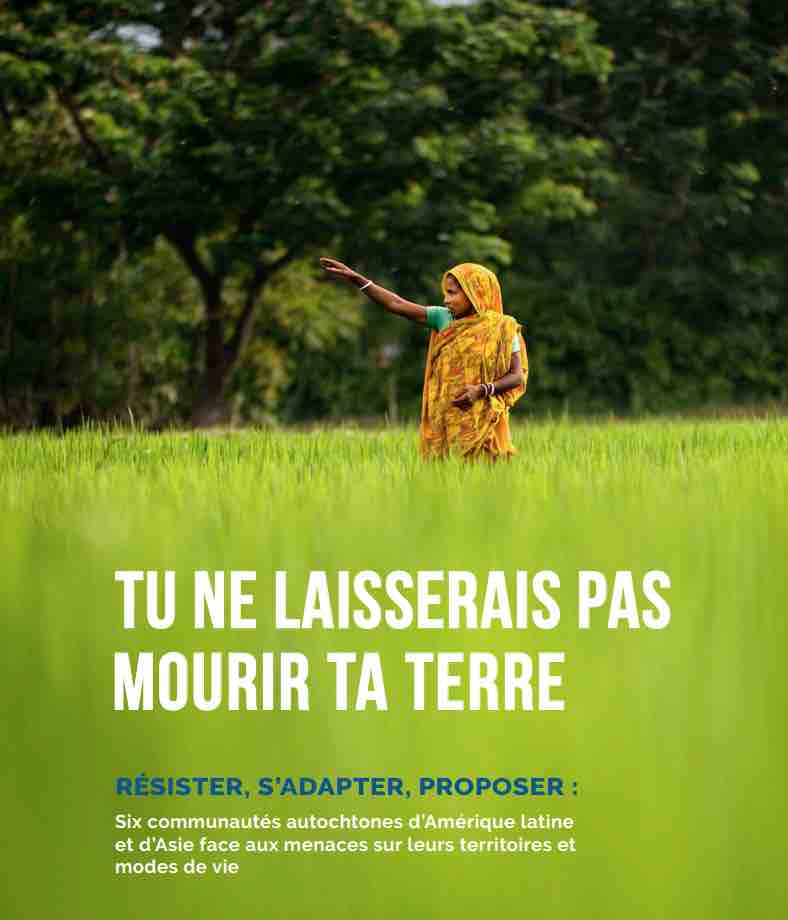
Le Secours Catholique – Caritas France (SCCF) a entrepris un travail d’observation des modes de vie des populations autochtones et de la gestion de leurs territoires au prisme de l’écologie intégrale telle que défini par le pape François dans l’encyclique Laudato si’. Simultanément, il s’est penché sur l’accompagnement que font ses partenaires qui travaillent sur le terrain en Asie et en Amérique latine.