
This paper explores the relationship between land cover change and albedo, recognized as a regulating ecosystems service. Trends and relationships between land cover change and surface albedo were quantified to characterise catchment water and carbon fluxes, through respectively…
In this study, methods, originally developed to assess life course trajectories, are explored in order to evaluate land change through the analysis of sequences of land use/cover. Annual land cover maps which describe land use/land cover change for the 1985–2017 period for a large region in…
Protected areas are considered the cornerstone of biodiversity conservation, but face multiple problems in delivering this core objective. The growing trend of framing biodiversity and protected area values in terms of ecosystem services and human well-being may not always lead to biodiversity…
Participatory research methods are increasingly used to collectively understand complex social-environmental problems and to design solutions through diverse and inclusive stakeholder engagement. But participatory research rarely engages stakeholders to co-develop and co-interpret models that…
Hurricane Harvey (2017) caused widespread flash flooding by extremely heavy rainfall and resulted in tremendous damage, including 82 fatalities and huge economic loss in the Houston, Texas area. To reduce hazards, loss, and to improve urban resilience, it is important to understand the factors…
Land-use planning (LUP), an instrument of land governance, is often employed to protect land and humans against natural and human-induced hazards, strengthen the resilience of land systems, and secure their sustainability. The United Nations Convention to Combat Desertification (UNCCD)…
The key question in this article is the extent to which current real property expropriation practices in Kigali city promote spatial justice. Current studies focus on the ambiguous manner in which real property valuation had been regulated by the expropriation law of 2007, leading to unfair…
Land-use planning (LUP), an instrument of land governance, is often employed to protect land and humans against natural and human-induced hazards, strengthen the resilience of land systems, and secure their sustainability. The United Nations Convention to Combat Desertification (UNCCD)…
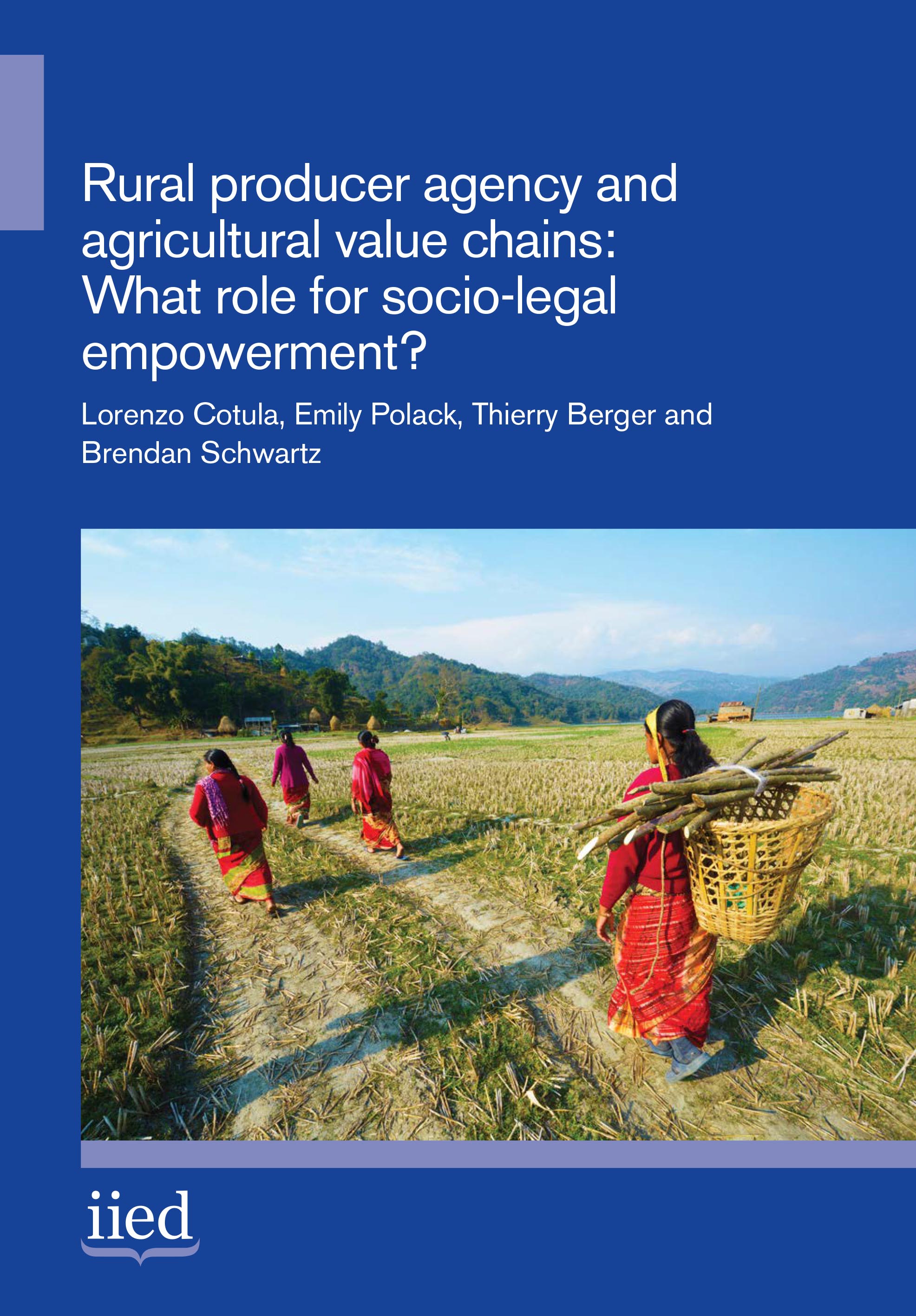
Growing numbers of policies and programmes aim to integrate small-scale rural producers into agricultural value chains. But significant questions remain over how best to: recognise the possibly divergent visions, interests and constraints of various actors; address often substantial power…
The Global Human Settlement Layer (GHSL) produces new global spatial information, evidence-based analytics describing the human presence on the planet that is based mainly on two quantitative factors: (i) the spatial distribution (density) of built-up structures and (ii) the spatial distribution…
Date: février 2019
Source: <a href="http://www.foncier-developpement.fr/publication/note-…
A decade ago, open data was more or less just an idea, emerging as a rough point of consensus for action among pro-democracy practitioners, internet entrepreneurs, open source advocates, civic technology developers, and open knowledge campaigners. Calls for “open data now” offered a powerful…