Forest area as a proportion of total land area
Last updated on 1 February 2022
This indicator is currently classified as Tier I. The Food and Agriculture Organization of the United Nations (FAO) is the Custodian agency for this indicator.
Unit of measure: Forest area of total land area (in %)
Why is the indicator important?
Forests are essential to the survival of our planet and climate change mitigation. Forests provide oxygen, store carbon, are biodiversity reservoirs and vital for humanity. Forest area as a percentage of total land area may be used as a rough proxy for analyzing the extent to which forests are being conserved or restored, but it is only partially an indicator of whether forests are being sustainably managed. Changes in forest area reflect the demand for land for non-forest uses and may help identify unsustainable practices in the forestry and agricultural sector.
The availability of accurate data on a country's forest area is crucial for forest policy and planning within the context of sustainable development. This indictor may help inform policy and management actions, as well as guide public and private investment. Adequate forest resources ensure social, economic and environmental stability as well as sustainable development for future generations. The COVID-19 pandemic is expected to add pressure to forests and contribute to increasing deforestation.
How is the indicator measured and monitored?
According to the metadata document, forest is defined as “land spanning more than 0.5 hectares with trees higher than five meters and a canopy cover of more than 10 percent, or trees able to reach these thresholds in situ. It does not include land that is predominantly under agricultural or urban land use.” Land area is understood as the country area excluding area under inland and coastal waters.
Data collection on forest area draws on the Global Forest Resources Assessment (FRA) which is carried out every five years. All data are provided to FAO by countries in the form of a standard country report through an online platform. FRA 2020 is the latest assessment covering 236 countries and territories. Data on land area is collected through the FAO Questionnaire on Land Use, Irrigation and Agricultural Practices that is send annually to 205 countries and territories. Regional aggregations are available. Although access to remote sensing data has improved, forest regrowth or forest with a low canopy covers density cannot always be detected.
By Anne Hennings, peer-reviewed by Anne Branthomme, Forestry Officer at FAO.
Official indicator data
The indicator provides a measure of the relative extent of forest in a country. * Select "year" below to see the most recent data for more countries.
Other related indicators on Land Portal
In addition to the official indicator data, the following indicators provide information on forest land, indigenous as well as individual forest tenure.
| Indicator | Min-Max Number of years |
Countries / Obs | Min / Max Value |
|---|---|---|---|
| Forest land designated by governments for Indigenous Peoples and local communities | |||
| Forest land owned by Indigenous Peoples and local communities | |||
| Forest land owned by individuals and firms | |||
| Indigenous rights to land & forest are (i) recognized and (ii) protected in practice |
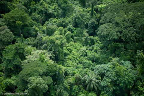
Une victoire pour les forêts africaines : la Socfin s’engage enfin sur le Zéro Déforestation
Date: 08 décembre 2016
Source: Greenpeace.org
Après une première annonce en juillet dernier, la Socfin a enfin publié hier une politique qui l’engage sur le chemin du “Zéro Déforestation”. Si l’entreprise matérialise les engagements pris dans sa nouvelle politique, des dizaines de milliers d’hectares de forêts tropicales détenus par l’entreprise pourraient ainsi échapper à la destruction.
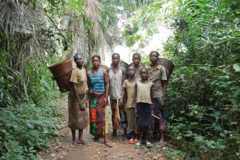
A new generation of forest managers in the Democratic Republic of Congo
By: Fai Collins
Date: Sunday, 29 May 2016
Source: CIFOR
A university on the banks of the Congo River is producing the next generation of experts on sustainable forestry.
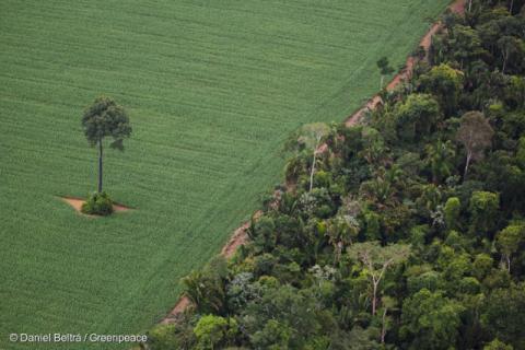
Amazonie : arrêt de la déforestation liée aux plantations de soja
Date: 20 mai 2016
Source: Greenpeace
Nous avons fait campagne pendant dix ans, et le résultat est enfin là. Le 9 mai dernier, les principaux négociants de soja, un groupe d’ONG dont Greenpeace et le gouvernement brésilien ont prolongé un accord qui met un terme à la déforestation à grande échelle au profit des plantations de soja dans l’Amazonie brésilienne. C’est une belle victoire !
Paginação
- Previous page ‹ previous
- Page 6
Does land tenure insecurity discourage tree planting?
It is widely believed that land tenure insecurity under a customary tenure system leads to socially inefficient resource allocation. This article demonstrates that land tenure insecurity promotes tree planting, which is inefficient from the private point of view but could be relatively efficient from the viewpoint of the global environment.
Paginação
![]()

By 2020, ensure the conservation, restoration and sustainable use of terrestrial and inland freshwater ecosystems and their services, in particular forests, wetlands, mountains and drylands, in line with obligations under international agreements
Indicator details
The Indicator is conceptually clear, has an internationally established and available methodology and standards, and that data is regularly produced by countries for at least 50 per cent of countries and of the population in every region where the indicator is relevant.
Key dates:

