Passar para o conteúdo principal

page search

There are 1, 105 content items of different types and languages related to sistema de informação geográfica on the Land Portal.
Displaying 13 - 24 of 33

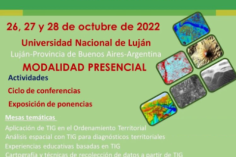
VI Congresso Internacional de Ordenamento Territorial e Tecnologias de Informação Geográfica

26 Setembro 2022 - 28 Setembro 2022
Buenos Aires
Argentina

O desenvolvimento atual de pesquisas que abordam a realidade sócio-espacial apoiada pelo uso de geotecnologias, mostra o progresso acadêmico e profissional de várias disciplinas interessadas em gerar resultados de grande interesse no campo do planejamento do uso do solo, cujas contribuições são orientadas para a aplicação do conhecimento para a resolução de problemas geográficos.

Capacitar a sociedade civil e as comunidades através de dados abertos sobre a terra

14 Junho 2022


As evidências mostram que muito poucos dados sobre a terra estão abertos ao público. Este segundo webinar de Whose Land? se concentrará nas oportunidades e restrições das organizações da sociedade civil (OSCs - sigla em inglês) e comunidades locais na defesa de mais dados abertos sobre a terra e no aproveitamento de seu poder para melhorar sua governança. 

Land Portal Foundation
Both ENDS

Remote Sensing for Measuring Urban Heat Islands and Constructing Heat Vulnerability Indices

02 Agosto 2022 - 11 Agosto 2022

Structures such as buildings, roads, and other infrastructure absorb and re-emit the sun’s heat more than natural landscapes such as forests and water bodies. Urban areas, where these structures are highly concentrated and greenery is limited, become “islands” of higher temperatures relative to outlying areas.

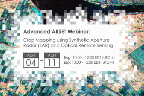
Crop Mapping using Synthetic Aperture Radar (SAR) and Optical Remote Sensing

03 Abril 2023 - 12 Abril 2023

NASA’s Applied Remote Sensing Training Program (ARSET) has opened a new online advanced webinar series: Crop Mapping using Synthetic Aperture Radar (SAR) and Optical Remote Sensing. This three-part training, presented in English and Spanish, is open to the public and builds on previous ARSET agricultural trainings. Here we present more advanced radar remote sensing techniques using polarimetry and a canopy structure dynamic model to monitor crop growth. The training will also cover methods that use machine learning methods to classify crop type using a time series of Sentinel-1 & Sentinel-2 imagery. This series will include practical exercises using the Sentinel Application Platform (SNAP) and Python code written in Python Jupyter Notebooks, a web-based interactive development environment for scientific computing and machine learning.

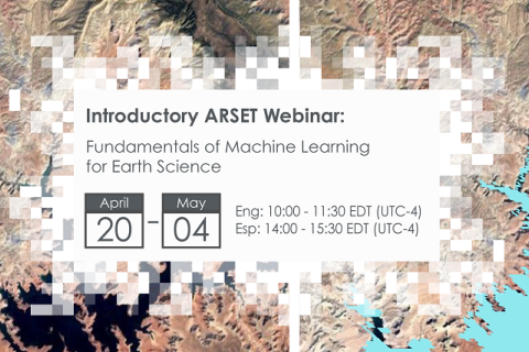
Fundamentals of Machine Learning for Earth Science

19 Abril 2023 - 03 Maio 2023

NASA’s Applied Remote Sensing Training Program (ARSET) has opened a new online introductory webinar series: Fundamentals of Machine Learning for Earth Science. This three-part training, presented in English and Spanish, is open to the public and will provide attendees an overview of machine learning in regards to Earth Science, and how to apply these algorithms and techniques to remote sensing data in a meaningful way. Attendees will also be provided with end-to-end case study examples for generating a simple random forest model for land cover classification from optical remote sensing. We will also present additional case studies to apply the presented workflows using additional NASA data.


Application of NASA SPoRT-Land Information System (SPoRT-LIS) Soil Moisture Data for Drought

16 Maio 2023 - 30 Maio 2023

NASA’s Applied Remote Sensing Training Program (ARSET) has opened a new open, online webinar series: Application of NASA SPoRT-Land Information System (SPoRT-LIS) Soil Moisture Data for Drought. This 3-part webinar series is focused on the introduction of the NASA Land Information System (LIS) output of soil moisture at various depths for drought analysis and monitoring. Examples from operational applications as well as practice exercises (for using LIS data for drought monitoring) will be included in this course. Access to the SPoRT-LIS products via online viewer, in GIS formats, and GIS-based display tools, will also be included. Moreover, self-paced microlessons will be available to help users confirm their understanding and improve their skill via homework lessons between live sessions.

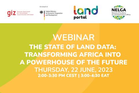
O estado dos dados fundiários: Transformando a África em uma potência do futuro

21 Junho 2023

Este webinário tem como objetivo desenvolver o potencial de pesquisadores(as) e profissionais de toda a África para entender melhor as abordagens sustentáveis da governança de dados fundiários. O webinário destacará a importância da boa governança de dados fundiários para melhorar os direitos de propriedade e permitir serviços governamentais mais eficientes.

Land Portal Foundation
German Federal Ministry for Economic Cooperation and Development
Deutsche Gesellschaft für Internationale Zusammenarbeit (GIZ) GmbH
The Network of Excellence on Land Governance in Africa