
page search

There are 1, 162 content items of different types and languages related to geographical information systems on the Land Portal.
Displaying 13 - 24 of 55

Remote Sensing of Coastal Ecosystems

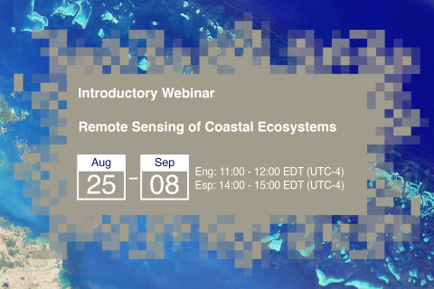
25 August 2020 - 08 September 2020

Coastal and marine ecosystems serve key roles for carbon storage, nutrients and materials cycling, as well as reservoirs of biodiversity. They also provide ecosystems services such as sustenance for millions of people, coastal protection against wave action, and recreational activities. Remote sensing of coastal and marine ecosystems is particularly challenging.

2020 Vision: Reflections on a Quarter Century of Metadata

23 September 2020
Online

Challenges finding information in food and agriculture on the Web: what can we do better?

Wednesday, 23 September
(2020-09-23)
15:00 - 16:30 UTC

Panelists will be from FAO, CGIAR, Land Portal Foundation, USDA and Beijing Academy of Agriculture and Forestry Sciences.

Land Portal Foundation
Food and Agriculture Organization of the United Nations (FAO)
International Food Policy Research Institute

Use of semantics applied to food and agricultural data innovation systems as a key step to achieving the SDGs

12 October 2020 - 21 October 2020
Online
United States

FAO produces and synthesizes a wealth of information data across all the sectors to help eradicate poverty, eliminate hunger, food insecurity and malnutrition, make agriculture, forestry and fisheries more productive and sustainable, reduce rural poverty, enable inclusive and efficient agricultural and food systems, and increase the resilience of livelihoods to threats and crises. These information and data are in text, statistical, graphic and map formats that are accessible through a wide number of FAO Knowledge Platforms.

Food and Agriculture Organization of the United Nations (FAO)
Land Portal Foundation

Informal settlements and access to data in the time of COVID: a case for sharing data for decision making

22 October 2020
Online
United States


The spread of COVID-19 in South Africa and other countries in the region has again brought to the fore the fact that very dense, under-serviced, mostly informal, settlements are not healthy places to live. They are also places where the spread of a disease is difficult to prevent or manage. 


Council for Scientific and Industrial Research
Land Portal Foundation

Hyperspectral Data for Land and Coastal Systems

19 January 2021 - 02 February 2021

Hyperspectral data presents a unique opportunity to characterize specific vegetation types and biogeochemical processes across the land and oceans. Applications of hyperspectral data include plant species identification, invasive species management, assessment of phytoplankton functional types, mapping of wetlands and shallow benthic communities, and detection of harmful algal blooms (HABs).

Introduction to Population Grids and their Integration with Remote Sensing Data for Sustainable Development and Disaster Management

30 March 2021 - 06 April 2021

NASA’s Applied Remote Sensing Training Program, ARSET has opened a new open, online webinar series: Introduction to Population Grids and their Integration with Remote Sensing Data for Sustainable Development and Disaster Management


The Digitization of Land Records: A Panacea for Land Conflicts?

07 July 2021
Online

Access to land is a critical factor for economic growth and poverty reduction.  For government, industry, and citizens to be able to use this asset effectively and to minimize land conflicts, it is important to have access to reliable land and property records.

National Council of Applied Economic Research
NRMC
Land Portal Foundation
Cadasta Foundation
Land Conflict Watch