page search

Displaying 37 - 48 of 57

FIG Working Week 2023

28 May 2023 - 01 June 2023
Orlando
United States

When our global community unites, the energy is unstoppable. That’s why FIG and the local organisers, NSPS, are thrilled to invite you for the FIG Working Week 2023. Look forward to an exciting week-long conference that brings the international community of surveying and spatial professionals together to experience a mix of interesting technical sessions and workshops, a trade exhibition and a variety of side events and social functions. 

International Federation of Surveyors (FIG)

Connecting Citizen Science with Remote Sensing

23 January 2023 - 30 January 2023

NASA’s Applied Remote Sensing Training Program (ARSET) has opened a new open, online introductory webinar series: Connecting Citizen Science with Remote Sensing. This 3-part training, delivered in English and Spanish, will provide attendees an overview of citizen science efforts that use Earth Observations combined with ground-based information in the fields of climate change, sustainable development, ecosystem monitoring and characterization, drought, and land cover or land-use change, and will highlight case-study examples of successful citizen science projects, with some examples from NASA supported projects and activities.

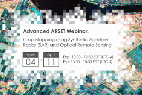
Crop Mapping using Synthetic Aperture Radar (SAR) and Optical Remote Sensing

03 April 2023 - 12 April 2023

NASA’s Applied Remote Sensing Training Program (ARSET) has opened a new online advanced webinar series: Crop Mapping using Synthetic Aperture Radar (SAR) and Optical Remote Sensing. This three-part training, presented in English and Spanish, is open to the public and builds on previous ARSET agricultural trainings. Here we present more advanced radar remote sensing techniques using polarimetry and a canopy structure dynamic model to monitor crop growth. The training will also cover methods that use machine learning methods to classify crop type using a time series of Sentinel-1 & Sentinel-2 imagery. This series will include practical exercises using the Sentinel Application Platform (SNAP) and Python code written in Python Jupyter Notebooks, a web-based interactive development environment for scientific computing and machine learning.

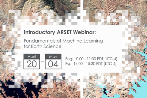
Fundamentals of Machine Learning for Earth Science

19 April 2023 - 03 May 2023

NASA’s Applied Remote Sensing Training Program (ARSET) has opened a new online introductory webinar series: Fundamentals of Machine Learning for Earth Science. This three-part training, presented in English and Spanish, is open to the public and will provide attendees an overview of machine learning in regards to Earth Science, and how to apply these algorithms and techniques to remote sensing data in a meaningful way. Attendees will also be provided with end-to-end case study examples for generating a simple random forest model for land cover classification from optical remote sensing. We will also present additional case studies to apply the presented workflows using additional NASA data.


Through the Land Data Lens – What are we seeing/Not seeing?

02 May 2023

The objectives of this session are to highlight national, regional and global progress and accomplishments in outcome 3 of phase 3 of the GLTN program, to gather feedback from GLTN partners and receive proposals on the monitoring focus in phase 4, and to identify potential collaborative opportunities with GLTN partners to upscale monitoring of the land agenda.

Land Portal Foundation
Global Land Tool Network
Asian NGO Coalition (ANGOC)
United Nations Human Settlements Programme

Introducing the State of Land Information Index

03 May 2023

This side event will serve to introduce the Land Portal’s State of Land Information Index (SOLIndex), which measures openness of land data at the country and global level. The aim of this index is to make land-related findings more actionable and to complement existing land governance monitoring systems, such as tools developed by GLTN. The SOLIndex provides an overall indicator that assesses the openness of land data and information at global and country levels. The SOLIndex can be used as a diagnostic and advocacy tool for making land data more open and inclusive in support of good land governance.

This side event will explore the range of indicators that constitute the index, explore strengths, weaknesses, opportunities and threats of the collection of these indicators in an effort to obtain and incorporate feedback from GLTN Partners into the process of validating the indicator.

Land Portal Foundation

Application of NASA SPoRT-Land Information System (SPoRT-LIS) Soil Moisture Data for Drought

16 May 2023 - 30 May 2023

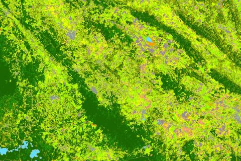
NASA’s Applied Remote Sensing Training Program (ARSET) has opened a new open, online webinar series: Application of NASA SPoRT-Land Information System (SPoRT-LIS) Soil Moisture Data for Drought. This 3-part webinar series is focused on the introduction of the NASA Land Information System (LIS) output of soil moisture at various depths for drought analysis and monitoring. Examples from operational applications as well as practice exercises (for using LIS data for drought monitoring) will be included in this course. Access to the SPoRT-LIS products via online viewer, in GIS formats, and GIS-based display tools, will also be included. Moreover, self-paced microlessons will be available to help users confirm their understanding and improve their skill via homework lessons between live sessions.

The State of Land Data: Transforming Africa Into a Powerhouse of the Future

21 June 2023

This webinar aimed to build the capacity of researchers and practitioners across Africa to better understand sustainable approaches to land data governance. The webinar highlighted the importance of good land data governance for improving property rights and enabling more efficient government services.

Land Portal Foundation
German Federal Ministry for Economic Cooperation and Development
Deutsche Gesellschaft für Internationale Zusammenarbeit (GIZ) GmbH
The Network of Excellence on Land Governance in Africa

Monitoring Water Quality of Inland Lakes using Remote Sensing

17 July 2023 - 24 July 2023

NASA’s Applied Remote Sensing Training Program (ARSET) has opened a new open, online webinar series: Monitoring Water Quality of Inland Lakes using Remote Sensing. This advanced-level training will focus on using remote sensing observations from Landsat 8 and 9, Sentinel-2, and Sentinel-3 for assessing water quality parameters, including chlorophyll-a concentration, turbidity, and Total Suspended Solids (TSS) in inland lakes. This training will also highlight the importance of in situ measurements of these parameters, coincident with satellite observations, in developing methodologies for operational water quality monitoring.

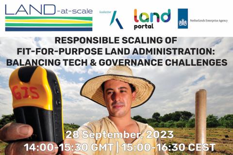
Responsible Scaling of Fit-for-Purpose Land Administration: Balancing Tech & Governance Challenges

27 September 2023

Join us for a thought-provoking webinar that explores the challenges and future directions to scale Fit-For-Purpose Land Administration (FFPLA) based on on-the-ground experiences. FFPLA approaches are broadly recognized and applauded for being more affordable, faster and flexible (in terms of spatial identification) than conventional land administration methods.  

Land Portal Foundation
Netherlands Enterprise & Development Agency
Kadaster International