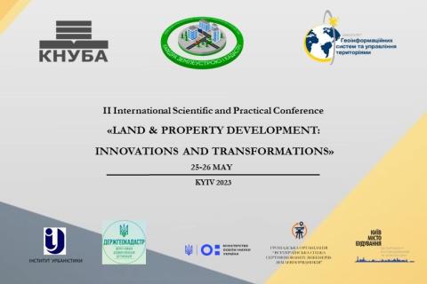
Passar para o conteúdo principal

page search

There are 4, 357 content items of different types and languages related to desenvolvimento sustentável on the Land Portal.
Displaying 73 - 84 of 88

Crop Mapping using Synthetic Aperture Radar (SAR) and Optical Remote Sensing

03 Abril 2023 - 12 Abril 2023

NASA’s Applied Remote Sensing Training Program (ARSET) has opened a new online advanced webinar series: Crop Mapping using Synthetic Aperture Radar (SAR) and Optical Remote Sensing. This three-part training, presented in English and Spanish, is open to the public and builds on previous ARSET agricultural trainings. Here we present more advanced radar remote sensing techniques using polarimetry and a canopy structure dynamic model to monitor crop growth. The training will also cover methods that use machine learning methods to classify crop type using a time series of Sentinel-1 & Sentinel-2 imagery. This series will include practical exercises using the Sentinel Application Platform (SNAP) and Python code written in Python Jupyter Notebooks, a web-based interactive development environment for scientific computing and machine learning.

Fundamentals of Machine Learning for Earth Science

19 Abril 2023 - 03 Maio 2023

NASA’s Applied Remote Sensing Training Program (ARSET) has opened a new online introductory webinar series: Fundamentals of Machine Learning for Earth Science. This three-part training, presented in English and Spanish, is open to the public and will provide attendees an overview of machine learning in regards to Earth Science, and how to apply these algorithms and techniques to remote sensing data in a meaningful way. Attendees will also be provided with end-to-end case study examples for generating a simple random forest model for land cover classification from optical remote sensing. We will also present additional case studies to apply the presented workflows using additional NASA data.


Application of NASA SPoRT-Land Information System (SPoRT-LIS) Soil Moisture Data for Drought

16 Maio 2023 - 30 Maio 2023

NASA’s Applied Remote Sensing Training Program (ARSET) has opened a new open, online webinar series: Application of NASA SPoRT-Land Information System (SPoRT-LIS) Soil Moisture Data for Drought. This 3-part webinar series is focused on the introduction of the NASA Land Information System (LIS) output of soil moisture at various depths for drought analysis and monitoring. Examples from operational applications as well as practice exercises (for using LIS data for drought monitoring) will be included in this course. Access to the SPoRT-LIS products via online viewer, in GIS formats, and GIS-based display tools, will also be included. Moreover, self-paced microlessons will be available to help users confirm their understanding and improve their skill via homework lessons between live sessions.

Assessing the Impacts of Fires on Watershed Health

05 Julho 2023 - 12 Julho 2023

NASA’s Applied Remote Sensing Training Program (ARSET) has opened a new open, online webinar series: Assessing the Impacts of Fires on Watershed Health. This advanced-level, three-part training will focus on using remote sensing observations for monitoring post-fire impacts on watershed health. Specifically, this training will highlight uses of NASA Earth observations (EO) for pre-fire land cover mapping, watershed delineation and stream mapping, post-fire burn severity mapping, and pre- and post-fire riverine and freshwater water quality.

Monitoring Water Quality of Inland Lakes using Remote Sensing

17 Julho 2023 - 24 Julho 2023

NASA’s Applied Remote Sensing Training Program (ARSET) has opened a new open, online webinar series: Monitoring Water Quality of Inland Lakes using Remote Sensing. This advanced-level training will focus on using remote sensing observations from Landsat 8 and 9, Sentinel-2, and Sentinel-3 for assessing water quality parameters, including chlorophyll-a concentration, turbidity, and Total Suspended Solids (TSS) in inland lakes. This training will also highlight the importance of in situ measurements of these parameters, coincident with satellite observations, in developing methodologies for operational water quality monitoring.

Transforming Earth Observation (EO) Data into Building Infrastructure Data Sets for Disaster Risk Modeling

02 Outubro 2023 - 09 Outubro 2023

NASA’s Applied Remote Sensing Training Program (ARSET) has opened a new open, online, intermediate webinar series: Transforming Earth Observation (EO) Data into Building Infrastructure Data Sets for Disaster Risk Modeling. This three-part training, presented in English and Spanish, is open to the public and will cover the basics of natural hazard risk modeling and exposure development with a focus on fusing data from multiple datasets expressly for the purposes of risk assessment.  We will also present examples applying the techniques to applications related to flood risk assessment, climate adaptation, and earthquake modeling.