Passar para o conteúdo principal

page search

Displaying 1 - 3 of 3

Application of NASA SPoRT-Land Information System (SPoRT-LIS) Soil Moisture Data for Drought

16 Maio 2023 - 30 Maio 2023

NASA’s Applied Remote Sensing Training Program (ARSET) has opened a new open, online webinar series: Application of NASA SPoRT-Land Information System (SPoRT-LIS) Soil Moisture Data for Drought. This 3-part webinar series is focused on the introduction of the NASA Land Information System (LIS) output of soil moisture at various depths for drought analysis and monitoring. Examples from operational applications as well as practice exercises (for using LIS data for drought monitoring) will be included in this course. Access to the SPoRT-LIS products via online viewer, in GIS formats, and GIS-based display tools, will also be included. Moreover, self-paced microlessons will be available to help users confirm their understanding and improve their skill via homework lessons between live sessions.

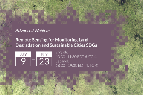
Advanced Webinar: Remote Sensing for Monitoring Land Degradation and Sustainable Cities SDGs

09 Julho 2019 - 23 Julho 2019
ONLINE
United States

The Sustainable Development Goals (SDGs) are an urgent call for action by countries to preserve our oceans and forests, reduce inequality, and spur economic growth. The land management SDGs call for consistent tracking of land cover metrics. These metrics include productivity, land cover, soil carbon, urban expansion, and more.

Colloque international sur le Pastoralisme dans le Courant des changements Globaux (P2CG 2017)

20 Novembro 2017 - 24 Novembro 2017
Dakar
Senegal

PRÉSENTATION

Le pastoralisme contribue de manière prépondérante à l’économie et à l’écologie des zones arides et semi-arides qui couvrent plus de 40% des terres émergées de la planète. L’activité pastorale pratiquée par les sociétés d’éleveurs sur une grande diversité de milieux et d’espèces, contribue notoirement à la sécurité alimentaire et aux moyens de vie de millions de ruraux.