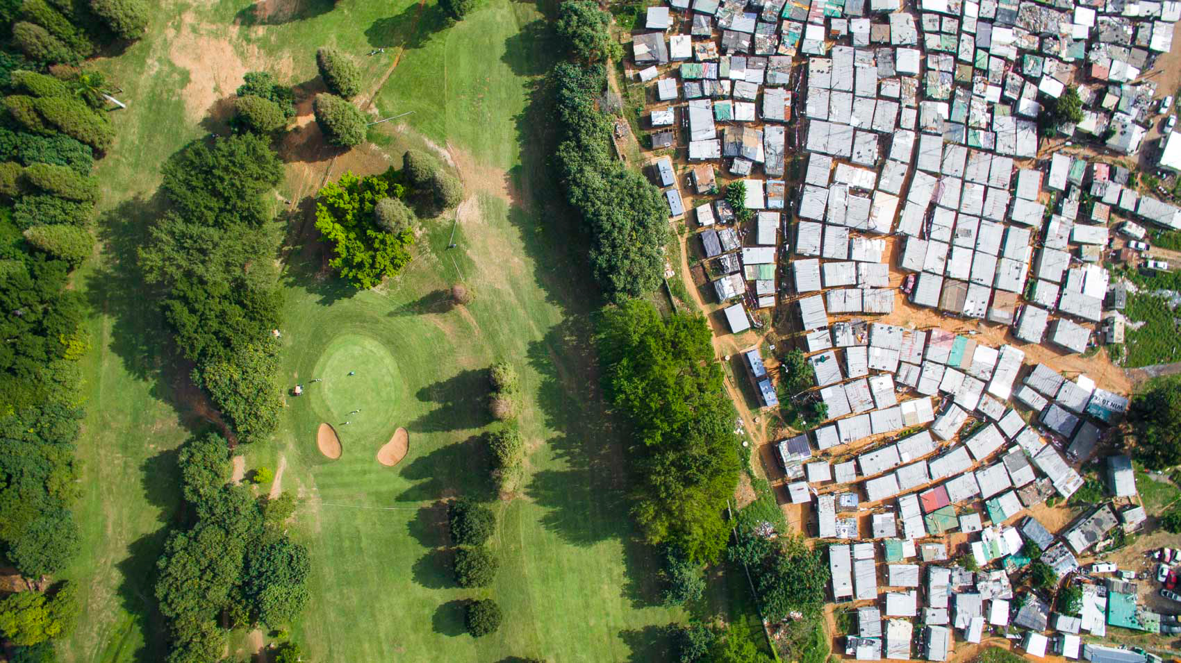
Twenty six years after South Africa’s first democratic election, land issues remain a point of contention, from land reforms to expropriation without compensation. Given the primacy of this issue in South Africa, it begs the question of what is the state of land information in South Africa? Do government agencies have sufficient data to support land governance decision making? Can civil society access the kind of information it needs to defend its interests? These were the kinds of questions we asked ourselves when we were reflecting on data fragmentation and access to information in South Africa.
We took it upon ourselves to systematically and rigorously review and categorize the extremely rich and, as we found, scattered, ecosystem of data and information related to key land issues in the country. Ultimately, we assessed more than 100 land datasets from 59 different sources. This robust scoping exercise is now documented in the report “State of Land Information in South Africa”, jointly published by the Land Portal Foundation and the Council for Scientific and Industrial Research.
On Thursday October 1st, we held a webinar dedicated to discussing the main findings of the report with a university professor, a government representative, a land practitioner from civil society groups in the country and a global open data expert. They all gathered together to share their thoughts about the power dynamics that usually exist around data and the challenges and opportunities that still exist to promote openness, transparency and data quality as building blocks to improve governance and security of land tenure.
The entry point for the webinar was the idea that despite the increasing amount of data and information available, land researchers and practitioners in South Africa still face a range of barriers when they look for land data. Disparities in information visibility, accessibility, consistency and completeness are all factors they must face.
The report assessed the diversity of land data available in South Africa, covering land tenure, land cover, land use and management data, as well as records of land disputes, land markets and more. The method had previously been applied in Kenya, Tanzania, Uganda, and South Sudan and offers a framework for comparability, although the tension between global comparability and granularity suggests that each country's context is different.
Ms. Maroale Chauke, Director of the National Spatial Information Framework in the Department of Agriculture, Land Reform and Rural Development, indicated the report is beneficial in many ways to government entities in South Africa, as it provides an up-to-date snapshot of the state of affairs regarding land data and information. “This report provides an opportunity for the National Spatial Information Framework to support government departments serving as data custodians to improve their data planning and data management practices,” she said. These efforts can help to improve metadata and make use of international standards, while also clarifying the role of data contributors, she suggested. “This report helps the Committee for Spatial Information to better define data governance laws, such as data licensing,” emphasized Ms. Chauke.
"The State of Land Information in South Africa is a very useful document to give to students so that they can get an understanding of what is available in South Africa in terms of land information,” said Serena Coetzee, Professor of Geography, Geoinformatics and Meteorology at the University of Pretoria. “The report is also helpful in looking at what is available in other countries and comparing to where we are in South Africa,” she said. Serena Coetzee also underlined that an important contribution of the report is that it reveals gaps and shortcomings in data, which point to the research topics that need to be further explored.
Siyabu Manona, the Land Information Specialist for LandNNES (Land Network National Engagement Strategy) and the Director for Land and Tenure Reform Policy and Implementation at Phuhlisani Solutions, pointed out that in his view land data in South Africa is fragmented and incoherent. He also suggested that state transparency and accountability are mandated in the Constitution, yet the government has never properly translated this requirement into legislation or practice.
Nicolás Grossman, Data Lead at the Global Data Barometer, then explained how the Global Data Barometer - a global study with an ambitious objective of mapping the landscape of data for the public good all around the world - has been inspired by this country's data research in South Africa. Mr. Grossman underscored the point that the State of Land Information in South Africa summarizes findings and reconstructed processes behind data, all of which help to understand data dynamics and are really valuable inputs to build their Global Data Barometer framework.
"SOLI not only helped us to understand and define land data, it is also a very wise zoom-in to power dynamics around data in general. This entire process is very useful both institutionally and strategically," said Mr. Grossman.
The report and webinar also received some promising feedback from those attending the webinar.
"As a student in Geoinformation Sciences in South Africa I found this webinar to be very engaging and informative and look forward to the prospect of many more sessions exploring the panoply of topics that originate from this initial exploration."
Another participant said "I think it was very useful to have the government on the panel, and to have their reaction to the report and their view on data and its importance, and a better awareness of spatial data structures. It may be good to unpack these institutions and their functions and where they see the data gaps. Again, building the linkages between local and national datasets is an important area that was brought out as well as data as an asset."

