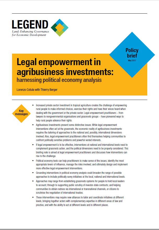
Aller au contenu principal

page search

There are 2, 499 content items of different types and languages related to gestion de terre agricole on the Land Portal.
Displaying 625 - 636 of 1038

Access to Public Resources by Asserting Rights And Justice for Economic Opportunities- APARAJEO Project

Reports & Research
Mai, 2014
Bangladesh

APARAJEO is working for establishing land rights to the landless people in Southwest Bangladesh. At present, total of 150,214.64 acres of khasland lies in the southwest region. And over one million landless people exist in the targeted areas. At the end of the project, 44,000 landless peoples of Satkhira and Khulna district will have increased access and

Participatory Khasland Identication Process in Bangladesh

Manuals & Guidelines
Août, 2016
Bangladesh

Utaran began work on the Sustainable Access to Land Equality (SALE) project to ensure transparency and accountability in land governance in December 2012, in partnership with CARE Internaional UK and Manusher Jonno Foundaion (MJF). The project engaged communiies in three pilot upazilas - Amtali Upazila of Barguna District, Mohanpur of Rajshahi, and Sadar of Jamalpur-to raise the awareness of vulnerable landowners about land administraion, and to effect transparent processes for selecing landless people and for khasland setlement.

Distribution and Retention of Khas (state) Land in Bangladesh

Reports & Research
Mars, 2000
Bangladesh

From peoples' point of view, the issue of khas land is so much so neglected and non-transparent that no one even knows what is the amount of khas land available in Bangladesh. No comprehensive research work has so far been undertaken to assess the impact of distribution of the khas land on the poor, and the whole range of problems associated with the retention and non-retention of khas land by the poor including the role of the power matrix (agents of power structure) in the process of alienating the poor from their inherent rights to own the khas land.

Agriculture land availability in Bangladesh

Reports & Research
Novembre, 2013
Bangladesh

The research aim is to detect land cover changes of Bangladesh using satellite remote sensing technology. More specifically the research objectives are to a) quantify how the availability of agricultural land has evolved since independence; b) quantify how the availability and allocation of land to various uses has evolved at national and sub-national levels since independence; and c) quantify land lost and gained due to various factors.

Understanding the effectiveness of access to khas land: Comparing khas land receivers to Non-Receivers

Reports & Research
Septembre, 2012
Bangladesh

This study highlights that access to khasland is a strongly political process where the collective movement played a pivotal role in shaping the livelihoods of land receivers. The paper shows that 1. khasland provides insurance and security through creating diverse income opportunities which can often mitigate the negative and long term impacts of shocks and allow khasland receivers to cope better with shocks 2. khasland allocation incentivises women’s engagement with labouring activities, household asset management, as well as their mobility within the village 3.

THE BENGAL ALLUVION AND DILUVION REGULATION, 1825

Legislation
Novembre, 1825
Bangladesh

In consequence of the frequent changes which take place in the channel of the principal  rivers that intersect the Provinces immediately subject to the Presidency of Fort Willima, and the Shifting of the sands which lie in the beds of those rivers, chars or small islands are often thrown up by alluvion in the midst of the stream or near one of the banks, and large portions of land are carried away by an encroachment of the river on one side, whilst accessions of land are at the same time, or in subse quent years, gained by dereliction of the water on the opposite side; similar instances of

Report on the Workshop on the Sources of Khas Land, legal bindings for it’s distribution and Suggestions

Training Resources & Tools
Août, 2014
Bangladesh

Since 1985, Uttaran, an NGO, has been striving to establish the rights of poor people in the South-West regions of Bangladesh. During the operation of this development project, Uttaran has observed that providing the poor with productive elements can help eliminate poverty to a great extent. With the ownership of productive elements, their sources of income become multifarious. The productive element-the small piece of land-changes their social, cultural and psychological behavior. Statistics show that there are about 33lac acres of khas land in Bangladesh.

Os sítios sagrados no arquipélago de Bijagós

Journal Articles & Books
Mai, 2015
Guinée-Bissau

O arquipélago dos Bijagós, na Guiné-Bissau, ocupa um lugar preponderante entre os grandes
monumentos naturais do litoral oeste africano. Com cerca de 80 ilhas e ilhéus dispersos sobre
aproximadamente 10.000 km², constitui um espaço natural e cultural particular ainda bem
preservado, não obstante a crescente pressão externa e as novas lógicas de desenvolvimento
socioeconómico. Este equilíbrio é mantido graças a uma forte integração de valores culturais
e naturais, mantida graças à noção do sagrado ainda fortemente presente no seio das sociedades

Políticas Públicas e Agricultura

Journal Articles & Books
Décembre, 2015
Mozambique

Por razões conhecidas, o sector agrícola tem um papel fundamental na economia moçambicana. Este tema é relevante, por um lado, porque a agricultura é considerada a base de desenvolvimento do nosso país e, por outro, porque as políticas públicas influenciam o comportamento de diversas variáveis da actividade agrária. Moçambique possui condições naturais para, a longo prazo, desenvolver um sector agrário diversificado, dinâmico e sustentável. Existem mais de 36 milhões de hectares de terra arável, dos quais somente 10% estão em uso e, destes, 90% pelo sector familiar (PEDSA, 2011).

O impacto da política agrária em Moçambique

Journal Articles & Books
Novembre, 2010
Mozambique

Moçambique localiza-se na costa sudueste de África, com uma área de cerca de 799.380 Km1 e uma linha costeira de cerca de 2.515 Km ao longo do Oceano Índico, constituindo um espaço vital tanto para o país assim como para os países vizinhos situados no interior que só têm acesso às vias oceânicas através dos portos moçambicanos. Em termos de fronteiras, o país faz limite, a Norte, com a República Unida da Tazânia, a Oeste com o Malawi, Zâmbia, Zimbabwe, Suazilândia e República da Àfrica do Sul; a Sul, faz divisa com a Àfrica do Sul, países com os quais partilha cerca de 4.330Km.

Estratégia de produção camponesa em Moçambique estudo de caso no sul do Save

Journal Articles & Books
Avril, 2017
Mozambique

Este estudo tem por objectivo analisar as estratégias de produção dos pequenos produtores no Sul do Save, em Moçambique. A análise assenta na recolha de dados primários obtidos a partir da administração, em 2015, de 1200 questionários junto da população alvo, no âmbito de um projecto de investigação em curso no Observatório do Meio Rural (OMR) em Moçambique. A reflexão aqui apresentada inspira-se nos contributos das principais correntes teóricas e estudos empíricos relacionados com as estratégias de produção dos pequenos produtores.