Aller au contenu principal

page search

IssuescadastreLandLibrary Resource
Displaying 2617 - 2623 of 2623

Space-Enhanced Systematic Land Titling and Registration: A Stride at Resuscitating Nigeria’s ‘Dead Capital’

Peer-reviewed publication
Avril, 2019
Afrique

Since the commencement of land registration in Nigeria, less than 3% of land, mainly in urban areas had been registered. This is partly due to the prevalent sporadic method. Sporadic procedure of obtaining title is associated with many problems which include time and cost. This study examined space-enhanced systematic land titling and registration (SLTR) approach in Ondo State, Nigeria towards easing the titling logjam in the State. Questionnaire and Oral interview were used to elicit information from landowners and heads of departments of two government agencies.

3D Cadastre for Land Administration: Some issues about the Moroccan context

Peer-reviewed publication
Avril, 2018
Afrique

With the fast world population growing, the efficient use of land properties became of great necessity. In this context, the traditional two-dimensional (2D) cadastral management mode cannot satisfy the need of current 3D land use and 3D urban planning (Guo et al. 2014). So, developing a 3D cadastral system is a very promising solution for land administration. However, the development of such a solution can be faced to some challenged issues related to economic, legal, technical and organizational aspects. In this paper, we present some basics about the 3D cadastre in Land governance.

Building Harmonized Private and State Land Holding Data and Information Systems in Ethiopia

Peer-reviewed publication
Avril, 2020
Éthiopie

Different government institutions in Ethiopia working on land related issues tackle and manage data and information independently, while their activities and mandates are often related or even overlapping. Ministry of Agriculture (MoA) deals with small holder rural land and until recently the Ethiopian Horticulture and Agricultural Investment Authority (EHAIA) was dealing with commercial agricultural land. Those institutions have not been able to share information each other’s data to make informed decisions.

Integration of Geospatial data of UAVs in Cadastral Management System and Regularization of Illegal Occupations in Informal Settlements

Peer-reviewed publication
Décembre, 2020
Afrique

Abstract: To avoid illegal occupation of people in areas where construction is forbidden and the development of informal settlements, municipal authorities must anticipate city planning. The implementation of layouts and cadastral plans, plays a broad range of uses in: taxation, land development, land registration, urban planning and design of infrastructure necessary to improve the living conditions of the population. This paper aims to demonstrate that, the integration of images of Unmanned Aerial Vehicles (UAVs) is an alternative solution to the production of cadastral maps.

Résumé : État de l'information foncière à Madagascar

Reports & Research
Août, 2023
Madagascar

Ce rapport sur l’écosystème des données foncières à Madagascar est la première étape vers la fourniture d’une base de référence et d’un outil de diagnostic pour informer les conversations autour de la gouvernance foncière et des données. Il vise à compléter les initiatives existantes pour améliorer la précision et l’étendue des données foncières à Madagascar et à identifier les opportunités d’améliorer l’accès du public à toutes les formes d’informations foncières.

État de l'information foncière à Madagascar

Reports & Research
Août, 2023
Madagascar

Ce rapport sur l'écosystème des données foncières à Madagascar est la première étape vers la fourniture d'une base de référence et d'un outil de diagnostic pour informer les conversations autour de la gouvernance foncière et des données. Il vise à compléter les initiatives existantes pour améliorer la précision et l'étendue des données foncières à Madagascar et à identifier les opportunités d'améliorer l'accès du public à toutes les formes d'informations foncières.

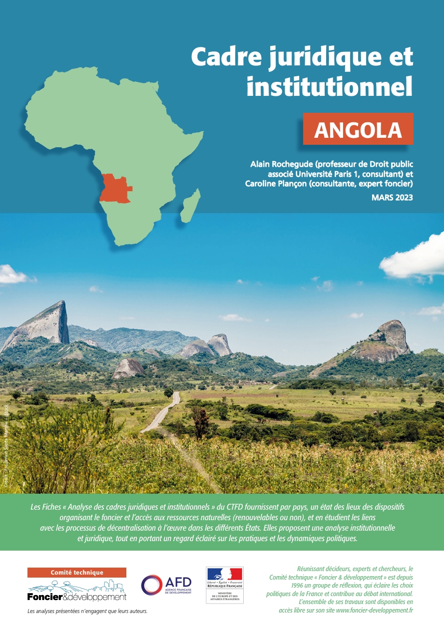
Cadre juridique et institutionnel

Reports & Research
Septembre, 2024
Maroc
Burundi
Djibouti
Madagascar
Mozambique
Rwanda
Angola
Cameroun
Tchad
Congo
République démocratique du Congo
Gabon
Bénin
Burkina Faso
Cap-Vert
Ghana
Guinée
Côte d'Ivoire
Mauritanie
Niger
Sénégal
Togo

Les fiches « Analyse des cadres juridiques et institutionnels » du CTFD fournissent par pays, un état des lieux des dispositifs organisant le foncier et l’accès aux ressources naturelles (renouvelables ou non), et en étudient les liens avec les processus de décentralisation à l’œuvre dans les différents États. Elles proposent une analyse institutionnelle et juridique, tout en portant un regard éclairé sur les pratiques et les dynamiques politiques.