Aller au contenu principal

page search

Displaying 1 - 12 of 25

FIG Working Week 2017

29 Mai 2017 - 02 Juin 2017
Helsinki Exhibition & Convention Centre (HECC)
Messuaukio 1
Helsinki
Finland

FIG Working Week, 29 May -  2 June 2017, Helsinki, Finland, is an exciting week-long conference that brings the international community of surveying and spatial professionals together to experience a mix of interesting plenary and technical sessions and workshops, a trade exhibition and a variety of side events and social functions.

FIG Congress 2018

06 Mai 2018 - 11 Mai 2018
Istanbul
Turkey

Embracing our smart world  where the continents connect:

International Federation of Surveyors (FIG)
Global Land Tool Network
United Nations Human Settlements Programme

The 15th International Conference on Social Implications of Computers in Developing Countries

01 Mai 2019 - 03 Mai 2019
Ramada Resort Hotel
Dar es Salaam
Tanzania

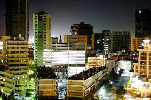
The conference theme of “Strengthening Southern-driven cooperation as a catalyst for ICT4D” seeks to stimulate and encourage critical discussions on the different facets of Southern-driven cooperation, its promises, potential, for creating a better world, and the challenges we face in achieving the promised potential.Grounded by Geoff Walsham’s question, ‘Are we making a better world with technology?’ (Walsham, 2012); the conference will aim at offering context-rich theories, methodologies and practical guidance on the use of ICT’s to empower local communities.

University of Oslo
University of Dar es Salaam
International Federation for Information Processing

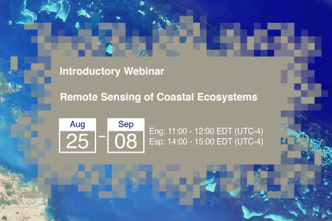
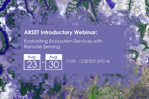
Remote Sensing of Coastal Ecosystems

25 Août 2020 - 08 Septembre 2020

Coastal and marine ecosystems serve key roles for carbon storage, nutrients and materials cycling, as well as reservoirs of biodiversity. They also provide ecosystems services such as sustenance for millions of people, coastal protection against wave action, and recreational activities. Remote sensing of coastal and marine ecosystems is particularly challenging.

Use of semantics applied to food and agricultural data innovation systems as a key step to achieving the SDGs

12 Octobre 2020 - 21 Octobre 2020
Online
United States

FAO produces and synthesizes a wealth of information data across all the sectors to help eradicate poverty, eliminate hunger, food insecurity and malnutrition, make agriculture, forestry and fisheries more productive and sustainable, reduce rural poverty, enable inclusive and efficient agricultural and food systems, and increase the resilience of livelihoods to threats and crises. These information and data are in text, statistical, graphic and map formats that are accessible through a wide number of FAO Knowledge Platforms.

Food and Agriculture Organization of the United Nations (FAO)
Land Portal Foundation

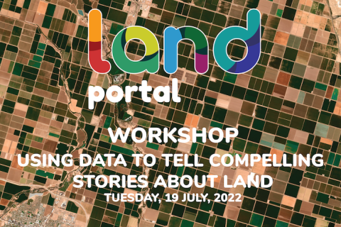
Atelier sur l'utilisation des données pour raconter des histoires convaincantes sur la terre

19 Juillet 2022

 Le 19 juillet de 15h à 16h30 CET

Depuis 2019, le Portail terrestre utilise les histoires de données pour démontrer comment combiner les données avec des récits engageants, mémorables et convaincants qui peuvent donner aux communautés les moyens de raconter leurs histoires au monde. 

Land Portal Foundation

Remote Sensing for Measuring Urban Heat Islands and Constructing Heat Vulnerability Indices

02 Août 2022 - 11 Août 2022

Structures such as buildings, roads, and other infrastructure absorb and re-emit the sun’s heat more than natural landscapes such as forests and water bodies. Urban areas, where these structures are highly concentrated and greenery is limited, become “islands” of higher temperatures relative to outlying areas.

La semaine de travail 2023 de la Fédération internationale des géomètres (FIG)

28 Mai 2023 - 01 Juin 2023
Orlando
United States

Lorsque notre communauté mondiale s'unit, l'énergie est inarrêtable. C'est pourquoi la FIG et les organisateurs locaux, NSPS, sont ravis de vous inviter à la semaine de travail FIG 2023. Attendez-vous à une conférence passionnante d'une semaine qui rassemblera la communauté internationale des professionnels de la topographie et de l'espace pour vivre un mélange de sessions techniques et d'ateliers intéressants, une exposition commerciale et une variété d'événements parallèles et de fonctions sociales. 

International Federation of Surveyors (FIG)