Aller au contenu principal

page search

There are 457 content items of different types and languages related to cartographie de l'utilisation des terres on the Land Portal.
Displaying 1 - 12 of 15

Proceedings of the FIG 2020 Working Week: Smart surveyors for land and water management

10 Mai 2020 - 14 Mai 2020
RAI Amsterdam
Europaplein 24
Amsterdam
Netherlands

Due to the current COVID-19 situation, FIG Working Week 2020 has been cancelled. However, the programme, all abstracts and both peer review and regular papers have been published in the FIG 2020 Working Week website. There might be some online webinars/meetings, which will be informed in the event website.


International Federation of Surveyors (FIG)
Kadaster International
Faculty of Geo-Information Science and Earth Observation
Geo-Informatie Nederland

Copernicus Land User Event

17 Novembre 2022 - 18 Novembre 2022
Bedford Hotel & Congress Centre
Rue du Midi 135,1000 Bruxelles
Belgium

Copernicus Land User Event - Register now!

European and global land surface applications

Copernicus Land Monitoring Service

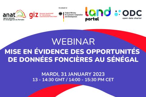
Mise en évidence des opportunités de données foncières au Sénégal

30 Janvier 2023

Le webinaire :

  • Partager les derniers résultats du projet pilote de mise en œuvre du Guide Open Up au Sénégal et les conclusions du rapport SOLI Sénégal

  • Poser et discuter des questions concernant l'intérêt et la maturité des données ouvertes au Sénégal en ce qui concerne le foncier

  • Entendre les points de vue du gouvernement du Sénégal, des donateurs, et des membres de la communauté locale, en utilisant des études de cas spécifiques sur les données et les initiatives foncières

Land Portal Foundation
Deutsche Gesellschaft für Internationale Zusammenarbeit (GIZ) GmbH
Government of Senegal

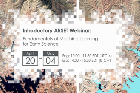
Fundamentals of Machine Learning for Earth Science

19 Avril 2023 - 03 Mai 2023

NASA’s Applied Remote Sensing Training Program (ARSET) has opened a new online introductory webinar series: Fundamentals of Machine Learning for Earth Science. This three-part training, presented in English and Spanish, is open to the public and will provide attendees an overview of machine learning in regards to Earth Science, and how to apply these algorithms and techniques to remote sensing data in a meaningful way. Attendees will also be provided with end-to-end case study examples for generating a simple random forest model for land cover classification from optical remote sensing. We will also present additional case studies to apply the presented workflows using additional NASA data.


Application of NASA SPoRT-Land Information System (SPoRT-LIS) Soil Moisture Data for Drought

16 Mai 2023 - 30 Mai 2023

NASA’s Applied Remote Sensing Training Program (ARSET) has opened a new open, online webinar series: Application of NASA SPoRT-Land Information System (SPoRT-LIS) Soil Moisture Data for Drought. This 3-part webinar series is focused on the introduction of the NASA Land Information System (LIS) output of soil moisture at various depths for drought analysis and monitoring. Examples from operational applications as well as practice exercises (for using LIS data for drought monitoring) will be included in this course. Access to the SPoRT-LIS products via online viewer, in GIS formats, and GIS-based display tools, will also be included. Moreover, self-paced microlessons will be available to help users confirm their understanding and improve their skill via homework lessons between live sessions.

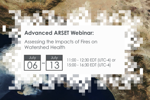
Assessing the Impacts of Fires on Watershed Health

05 Juillet 2023 - 12 Juillet 2023

NASA’s Applied Remote Sensing Training Program (ARSET) has opened a new open, online webinar series: Assessing the Impacts of Fires on Watershed Health. This advanced-level, three-part training will focus on using remote sensing observations for monitoring post-fire impacts on watershed health. Specifically, this training will highlight uses of NASA Earth observations (EO) for pre-fire land cover mapping, watershed delineation and stream mapping, post-fire burn severity mapping, and pre- and post-fire riverine and freshwater water quality.

Transforming Earth Observation (EO) Data into Building Infrastructure Data Sets for Disaster Risk Modeling

02 Octobre 2023 - 09 Octobre 2023

NASA’s Applied Remote Sensing Training Program (ARSET) has opened a new open, online, intermediate webinar series: Transforming Earth Observation (EO) Data into Building Infrastructure Data Sets for Disaster Risk Modeling. This three-part training, presented in English and Spanish, is open to the public and will cover the basics of natural hazard risk modeling and exposure development with a focus on fusing data from multiple datasets expressly for the purposes of risk assessment.  We will also present examples applying the techniques to applications related to flood risk assessment, climate adaptation, and earthquake modeling.

Land Rights for Sustainable Development - The Role of Data

16 Janvier 2024
European Commission
Brussels
Belgium

Having secure land tenure, ensuring people's confidence in accessing, controlling and utilizing their land, is crucial for promoting sustainable land management practices. It also plays a key role in building resilience against the impacts of climate change, including extreme weather events, rising sea levels, and increased desertification due to higher temperatures.

International Land Coalition
Land Portal Foundation
Land Matrix
Prindex