Aller au contenu principal

page search

There are 454 content items of different types and languages related to cartographie de l'utilisation des terres on the Land Portal.
Displaying 13 - 14 of 14

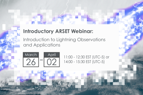
Introduction to Lightning Observations and Applications

25 Mars 2024 - 01 Avril 2024

NASA’s Applied Remote Sensing Training Program (ARSET) has opened a new open, online webinar series: Introduction to Lightning Observations and Applications. This three-part, introductory training focuses on global and regional lightning data products that can be applied to disaster risk preparedness.

As the intensity and frequency of extreme weather events are likely to increase due to climate change impacts, lightning activity will likely increase as well, causing more power outages, increased risks of wildfire ignition, and increased numbers of injuries and fatalities. Therefore, information about lightning activity is critical for better preparedness against these disasters.

Earth Observations for Humanitarian Applications

05 Juin 2024 - 19 Juin 2024

NASA’s Applied Remote Sensing Training Program (ARSET) has opened a new open, online webinar series: Earth Observations for Humanitarian Applications. Refugees, internally displaced people (IDPs), and other displaced populations are made more vulnerable to climate change impacts due to their socio-political marginalization. This three-part, intermediate training presents concrete strategies for mapping localized climate conditions with risks faced by refugee and IDP communities around the world.

The training will focus on flood risk assessments and specific challenges for assessing flood risk in refugee and IDP camps; gauging long-term heat stress in refugee camps and the challenges with decision making surrounding heat risk; and monitoring drought effects on agricultural landscapes in refugee settings using Earth observations (EO) to explore the correlations between anomalies in crop productivity and weather-based factors