Focal point
Location
FIG is the premier international organization representing the interests of surveyors worldwide. It is a federation of the national member associations and covers the whole range of professional fields within the global surveying community. It provides an international forum for discussion and development aiming to promote professional practice and standards.
FIG was founded in 1878 in Paris and was known as the Fédération Internationale des Géomètres. This has become anglicized to the International Federation of Surveyors. It is a UN-recognized non-government organization (NGO), representing more than 120 countries throughout the world, and its aim is to ensure that the disciplines of surveying and all who practise them meet the needs of the markets and communities that they serve.
The FIG vision
A modern and sustainable surveying profession in support of society, environment and economy by providing innovative, reliable and best practice solutions to our rapidly changing and complex world, acting with integrity and confidence about the usefulness of surveying, and translating these words into action.
The role of FIG
FIG’s activities are governed by a work plan, which is approved by the General Assembly and reviewed by Council as its tenure progresses. The current work plan with the motto “Ensuring the Rapid Response to Change Ensuring the Surveyor of Tomorrow” guides Council, Commissions, Networks and Task Force in their activities.
FIG supports the role of a prosperous and sustainable profession of surveyors to provide solution functionality, reliably, affordably for a complex and rapidly changing world that cannot wait, and to translate a sustainable development agenda into action. FIG supports international collaboration among its members for the progress of surveying in all its fields and applications. FIG has a close cooperation with United Nations relevant bodies, World Bank, and its sister associations and has been globally recognized as the leading international non-governmental organization on geospatial information and the management of “land”, the “sea” and the “built” environment. It is within the surveyors’ task to determine the size and shape of the earth, to map its surface and to manage it in a sustainable way.
Resources
Displaying 26 - 30 of 49The Land Administration Domain Model Standard
LADM is a international standard for the land administration domain. It will stimulate the development of software applications and will accelerate the implementation of proper land administration systems that will support sustainable development.
Towards Kenya’s Profile of the Land Administration Domain Model (LADM)
The application of computer technology in land administration is touted as one way of ensuring efficient and transparent land administration. Although this true, one major concern is not only how to create a computerized land information system that is interoperable across different government departments responsible for different land administration functions, but also how to ensure interoperability between national and devolved levels of government departments responsible for land administration.
ISO 19152: 2012, Land Administration Domain Model published by ISO
This paper describes the last developments of the Land Administration Domain Model (LADM). The Final Draft International Standard, ISO FDIS 19152, unanimously passed on 1 November 2012 the final vote towards becoming an International Standard (IS). After technical editing by ISO secretariat in Geneve, Switzerland, the first edition has been officially published on 1 December 2012 as International Standard ISO 19152:2012(E) ?Geographic information — Land Administration Domain Model (LADM)‘ and ?Information géographique — Modèle du domaine de l‘administrationdes terres (LADM)‘.
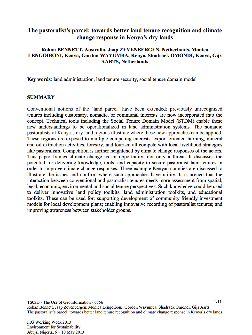
The pastoralist’s parcel: towards better land tenure recognition and climate change response in Kenya’s dry lands
Conventional notions of the ‘land parcel’ have been extended: previously unrecognized tenures including customary, nomadic, or communal interests are now incorporated into the concept. Technical tools including the Social Tenure Domain Model (STDM) enable these new understandings to be operationalized in land administration systems. The nomadic pastoralists of Kenya’s dry land regions illustrate where these new approaches can be applied.


