Passar para o conteúdo principal

page search

Issuesmudança de climaLandLibrary Resource
Displaying 1189 - 1200 of 1685

Resource Atlas of Isiolo County, Kenya: Community-based mapping of pastoralist resources and their attributes

Reports & Research
Junho, 2015
Quênia

Participatory digital mapping using satellite imagery and digital earth and other open source Geographic Information Systems (GIS) is a practical tool bridging the knowledge and communication gap between pastoral communities and county government planners. It is offering an effective option for participatory planning and decision-making in support of climate change adaptation in the drylands of Kenya.


“How Can We Survive Here?” The Impact of Mining on Human Rights in Karamoja, Uganda

Reports & Research
Janeiro, 2014
Uganda

Basic survival is very difficult for the 1.2 million people who live in Karamoja, a remote region in northeastern Uganda bordering Kenya marked by chronic poverty and the poorest human development indicators in the country. Traditional dependence on semi-nomadiccattle-raising has been increasingly jeopardized. Extreme climate variability, amongst other factors, has made the region’s pastoralist and agro-pastoralist people highly vulnerable to food insecurity.

Recent Glacier Recession – a New Source of Postglacial Treeline and Climate History in the Swedish Scandes

Peer-reviewed publication
Dezembro, 2011

Climate warming during the past century has imposed recession of glaciers and perennial snow/ice patches along the entire Swedish Scandes. On the newly exposed forefields, subfossil wood remnants are being outwashed from beneath ice and snow bodies. In Scandinavia, this kind of detrital wood is a previously unused source of postglacial vegetation and climate history. The present study reports radiocarbon dates of a set of 78 wood samples, retrieved from three main sites, high above modern treelines and stretching along the Swedish Scandes.

Treeline advance - driving processes and adverse factors

Peer-reviewed publication
Junho, 2007

The general trend of climatically-driven treeline advance is modified by regional, local and temporal variations. Treelines will not advance in a closed front parallel to the shift of any isotherm to higher elevations and more northern latitudes. The effects of varying topography on site conditions and the after-effects of historical disturbances by natural and anthropogenic factors may override the effects of slightly higher average temperatures. Moreover, the varying treeline-forming species respond in different ways to a changing climate.

One Century of Treeline Change and Stability - Experiences from the Swedish Scandes

Peer-reviewed publication
Março, 2010

This paper elaborates and visualizes processes recorded in a recent regional and multi-site study of elevational
treeline dynamics during the period 1915 to 2007 in the Swedish Scandes. The purpose is to give a concrete face of
the landscape transformation which is associated with the recorded treeline shifts. The main focus is on stand-level
structure of past and present treelines and the advance zones, where climate change elicited responses by Betula pubescens

A szélsőséges időjárási jelenségek hatásai (Effects of the Extreme Weather Events)

Peer-reviewed publication
Abril, 2015

Economist Sir Nicholas Stern warned that the global warming could cause major blow to the world economy than the two world wars and the crisis in the 1930s. But where are we in this process now and what can be expected in the near future and what opportunities we are to curb the negative effects and to slow down the global warming.

Higher-than-present Medieval pine (Pinus sylvestris) treeline along the Swedish Scandes

Peer-reviewed publication
Maio, 2015
Rússia
Groenlândia
Suécia

The upper treeline of Scots pine (Pinus sylvestris L.) is renowned as a sensitive indicator of climate change and variability. By use of megafossil tree remains, preserved exposed on the ground surface, treeline shift over the past millennium was investigated at multiple sites along the Scandes in northern Sweden. Difference in thermal level between the present and the Medieval period, about AD 1000-1200, is a central, although controversial, aspect concerning the detection and attribution of anthropogenic climate warming.

Surface thermal analysis of North Brabant cities and neighbourhoods during heat waves

Peer-reviewed publication
Março, 2016
Países Baixos

The urban heat island effect is often associated with large metropolises. However, in the Netherlands even small cities will be affected by the phenomenon in the future (Hove et al., 2011), due to the dispersed or mosaic urbanisation patterns in particularly the southern part of the country: the province of North Brabant.

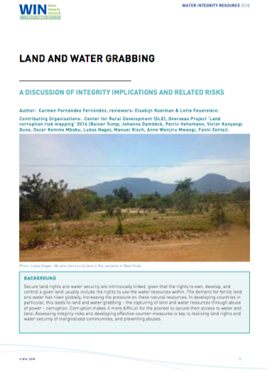
Land and Water Grabbing

Policy Papers & Briefs
Março, 2018
Global

IN’s latest resource is an introduction to the topic Land and Water Grabbing: A discussion of integrity implications and related risks, which discusses the integrity implications and risks of land and water grabbing. The essay examines the link between land and water grabbing, the people that are most impacted by this, and legal frameworks related to both land and water rights. Land and Water Grabbing describes the impacts of land and water grabbing in Kenya and Ethiopia.

Assessing Climate Smart Agriculture and Its Determinants of Practice in Ghana: A Case of the Cocoa Production System

Peer-reviewed publication
Gana

Agriculture in Africa is not only exposed to climate change impacts but is also a source of greenhouse gases (GHGs). While GHG emissions in Africa are relatively minimal in global dimensions, agriculture in the continent constitutes a major source of GHG emissions. In Ghana, agricultural emissions are accelerating, mainly due to ensuing deforestation of which smallholder cocoa farming is largely associated. The sector is also bedevilled by soil degradation, pests, diseases and poor yields coupled with poor agronomic practices.

Inferring Missing Climate Data for Agricultural Planning Using Bayesian Networks

Peer-reviewed publication

Climate data availability plays a key role in development processes of policies, services, and planning in the agricultural sector. However, data at the spatial or temporal resolution required is often lacking, or certain values are missing. In this work, we propose to use a Bayesian network approach to generate data for missing variables. As a case study, we use relative humidity, which is an important indicator of land suitability for coffee production.

Moderating Climate Hazard Risk through Cooperation in Asian Drylands

Peer-reviewed publication
Ásia

Asia drylands face increasing climate hazard risk, changing socio-economic forces, and environmental challenges that affect community viability. As home to >1 billion residents, deserts are at the centre of the continent’s climate-human predicament. Extreme water scarcity, dependence on food imports and now conflict increase hazard exposure across shared drylands, yet management differs from state to state. This paper argues that a more coherent strategy for mitigating risk would be based on natural environments.