Passar para o conteúdo principal

page search

There are 454 content items of different types and languages related to cartografia do uso da terra on the Land Portal.
Displaying 61 - 72 of 109

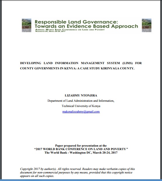
DEVELOPING LAND INFORMATION MANAGEMENT SYSTEM (LIMS) FOR COUNTY GOVERNMENTS IN KENYA: A CASE STUDY KIRINYAGA COUNTY.

Journal Articles & Books
Fevereiro, 2017
Quênia

This paper describes the development of a Land Information Management System (LIMS) for County Governments in Kenya. In the new Constitution 2010, devolution of some national government functions and formation of county governments was provided for. These invoked the development of new land laws to guide the devolution processes and procedures. According to the County Government Act 2012, all County Governments are supposed to develop digital Geographic Information System (GIS) based spatial plans and these calls for development of LIMS for and efficient breakthrough.

PERSPECTIVES ON PROGRESS AND CHALLENGES OF AFFIRMATIVE ACTION AND THE MAINSTREAMING OF THE COMMONS IN KENYA

Journal Articles & Books
Fevereiro, 2017
Quênia

The need for affirmative action and the mainstreaming of the commons community plus a comprehensive strategy to secure indigenous and community land has become a major global concern of the 21st century. To achieve this will require out of the box reform mechanisms and the participation of the communities concerned, such that the reforms recognize and embrace indigenous systems and structures that offer avenues to secure collective rights, land use and management of commons resources; namely pastures, water and forests among others.

Towards Kenya’s Profile of the Land Administration Domain Model (LADM)

Journal Articles & Books
Agosto, 2014
Quênia

The application of computer technology in land administration is touted as one way of ensuring efficient and transparent land administration. Although this true, one major concern is not only how to create a computerized land information system that is interoperable across different government departments responsible for different land administration functions, but also how to ensure interoperability between national and devolved levels of government departments responsible for land administration.

KENYA URBANIZATION REVIEW

Manuals & Guidelines
Reports & Research
Janeiro, 2016
Quênia

The story of urbanization in Kenya should be one of cautious optimism. As an emerging middle-income country with a growing share of its population living in urban areas and a governance shift toward devolution, the country could be on the verge of a major social and economic transformation. How it manages its urbanization and devolution processes will determine whether it can maximize the benefits of its transition to a middle-income country.

DEVOLVING LAND GOVERNANCE

Reports & Research
Maio, 2016
Quênia

The Commission has been in the forefront of promoting good governance and accountability in the land sector. Progress in the land sector has been mixed. Through the effort of the government, support agencies and other stakeholders the Commission was able to devolve its function to the 47 counties through the County Land Management Boards (CLMBs). The CLMBs have in effect devolved land services throughout Kenya. However, achieving land, better land governance, accountability in the land sector and ensuring secure land rights for all Kenyan is still to be achieved.

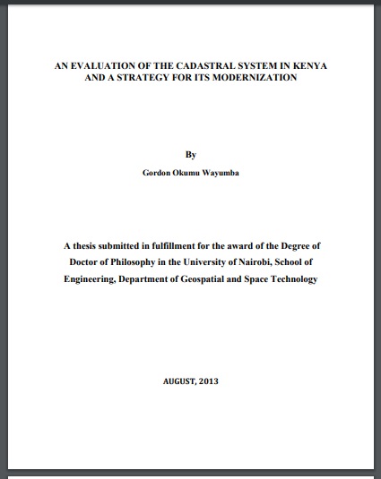
AN EVALUATION OF THE CADASTRAL SYSTEM IN KENYA AND A STRATEGY FOR ITS MODERNIZATION

Reports & Research
Julho, 2013
Quênia

The Cadastral system in Kenya was established in 1903 to support land alienation for the white settlers who had come into the country in the early part of the 20th Century. In the last hundred years, the system has remained more or less the same, where land records are kept in paper format and majority of operations are carried out on a manual basis. The lack of a modern cadastral system has contributed to problems in land administration in the country.

PREPARATION AND IMPLEMENTATION OF COUNTY SPATIAL PLANS

Manuals & Guidelines
Janeiro, 2017
Quênia

The Constitution of Kenya 2010 apportions responsibility of planning to both National and County governments. The County Government Act, 2012 obligates county governments to prepare and implement County Integrated Development Plans (CIDP). The CIDPs are, according to the act, five year plans that will form the basis of annual budgetary allocation by the county governments.

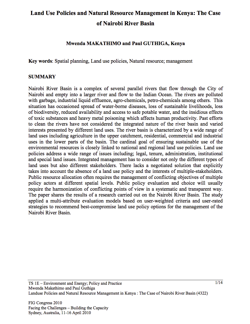
Land Use Policies and Natural Resource Management in Kenya: The Case of Nairobi River Basin

Journal Articles & Books
Março, 2010
Quênia

Nairobi River Basin is a complex of several parallel rivers that flow through the City of Nairobi and empty into a larger river and flow to the Indian Ocean. The rivers are polluted with garbage, industrial liquid effluence, agro-chemicals, petro-chemicals among others. This situation has occasioned spread of water-borne diseases, loss of sustainable livelihoods, loss of biodiversity, reduced availability and access to safe potable water, and the insidious effects of toxic substances and heavy metal poisoning which affects human productivity.

Examination of land equvalent ratio: The case of Havsa district of Edirne province

Policy Papers & Briefs
Dezembro, 2011

This study was applied in Edirne province Havsa district. For determination of land use efficiency of Havsa, satellite image and GIS were used. For this purpose the data of General Directorate of Rural Services which belongs to 1993 year, ASTER satellite images which belongs to 2008 year and topographic maps were used. For performing calculations in ERDAS software unclassified classification applied and 15 classes were formed. For performing supervised classification field work applied.