page search

Issuesland use mappingLandLibrary Resource
There are 454 content items of different types and languages related to land use mapping on the Land Portal.
Displaying 61 - 72 of 272

Evaluating the Potential of the Original Texas Land Survey for Mapping Historical Land and Vegetation Cover

Peer-reviewed publication
March, 2016

This paper reports on research to evaluate the potential of Original Texas Land Survey (OTLS) to generate information that can be used to quantitatively map historical vegetation cover and analyse pertinent aspects of vegetation ecology. Research was conducted in Brazos County in east-central Texas. OTLS data are easy to acquire and convert to geo-referenced autecological information.

Large-Scale Mapping of Tree-Community Composition as a Surrogate of Forest Degradation in Bornean Tropical Rain Forests

Peer-reviewed publication
December, 2016

Assessment of the progress of the Aichi Biodiversity Targets set by the Convention on Biological Diversity (CBD) and the safeguarding of ecosystems from the perverse negative impacts caused by Reducing Emissions from Deforestation and Forest Degradation Plus (REDD+) requires the development of spatiotemporally robust and sensitive indicators of biodiversity and ecosystem health. Recently, it has been proposed that tree-community composition based on count-plot surveys could serve as a robust, sensitive, and cost-effective indicator for forest intactness in Bornean logged-over rain forests.

Integration of ALOS PALSAR and Landsat Data for Land Cover and Forest Mapping in Northern Tanzania

Peer-reviewed publication
December, 2016

Land cover and forest mapping supports decision makers in the course of making informed decisions for implementation of sustainable conservation and management plans of the forest resources and environmental monitoring. This research examines the value of integrating of ALOS PALSAR and Landsat data for improved forest and land cover mapping in Northern Tanzania.

Mapping Urbanization Dynamics in Major Cities of Colombia, Ecuador, Perú, and Bolivia Using Night-Time Satellite Imagery

Peer-reviewed publication
March, 2013
Ecuador
Bolivia
Colombia
Peru

By 2050, 90% of the population in Latin America will live in cities, but there is a lack of up-to-date spatial information about the urban extent and patterns of urbanization in cities of this region. In this study, we analyzed population growth, urban density and urbanization dynamics between 1992 and 2009 in the major cities of Bolivia, Colombia, Ecuador and Perú using Google Earth and DMSP/OLS night-time lights imagery. We used Google Earth to map the urban extent, and time series of night-time lights to analyze spatial patterns of urban development.

Linking Land Cover Data and Crop Yields for Mapping and Assessment of Pollination Services in Europe

Peer-reviewed publication
September, 2013

Pollination is a key ecosystem service as many crops but in particular, fruits and vegetables are partially dependent on pollinating insects to produce food for human consumption. Here we assessed how pollination services are delivered at the European scale. We used this assessment to estimate the relative contribution of wild pollinators to crop production. We developed an index of relative pollination potential, which is defined as the relative potential or relative capacity of ecosystems to support crop pollination.

Training on GeoODK in Bangladesh

Conference Papers & Reports
August, 2016
Bangladesh

Training on GeoODK1 was held on 4th and 5th September 2016 at the YWCA2 in Dhaka to develop the staff capacity about the mobile base survey, analysis and presentation. The training was facilitated by Mr. Frank Pichel & Mr. David Palomino both of working in Cadasta.org as chief program officer & product owner respectively. Total eighteen staffs from Uttaran were attended the training. The first session was started with the introductory session. All participants including facilitators shared their identity to the training. Then Mr.

The County Governments Act, 2012

Legislation & Policies
October, 2012
Kenya

COUNTY GOVERNMENTS ACT NO. 17 OF 2012

Date of assent: 24th July, 2012.

Date of commencement: See Section 1.

An Act of Parliament to give effect to Chapter Eleven of the Constitution; to provide for county governments' powers, functions and responsibilities to deliver services and for connected purpose

Securing land inheritance and land rights for women in Kenya

Journal Articles & Books
February, 2017
Kenya

Women face many problems with regard to land inheritance and land rights in Kenya. Individual and community land ownership do not favour women. The reason for this is that ownership of land is patrilineal, which means that fathers share land amongst sons, while excluding daughters. This practice is traditionally widespread and partly accepted although it goes against the interest of women and is prohibited by the constitution.

Food security and land governance factsheet

Journal Articles & Books
Reports & Research
June, 2012
Kenya

In Kenya, insecure land tenure and inequitable access to land and natural resources have contributed to conflict and violence, which has in return exacerbated food insecurity. Most farmers in Kenya have no legal title for the land on which they farm. Sources of tenure insecurity can be ethnic conflicts over land between neighbouring communities, particularly in the Northern provinces, expropriation by the state or local government and land grabbing by local elite or companies. Competition is as well growing over water, especially over groundwater, which is scarce in Kenya.

Land laws amendment bills: a practitioner’s perspective on the land bills

Journal Articles & Books
August, 2014
Kenya

The first set of the land laws were enacted in 2012 in line with the timelines outlined in the Constitution of Kenya 2010. In keeping with the spirit of the constitution, the Land Act, Land Registration Act and the national Land Commission Act respond to the requirements of Articles 60, 61, 62, 67 & 68 of the Constitution. The National Land Policy, which was passed as Sessional Paper No. 3 of 2009, arrived earlier than the Constitution, with some radical proposals on the land Management.

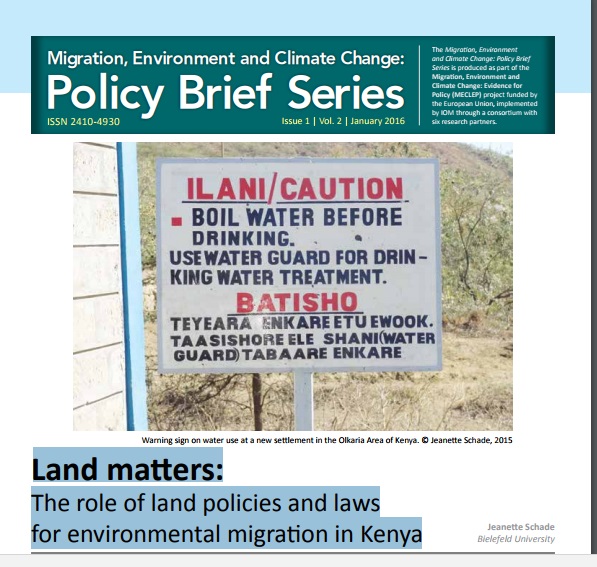
Land matters: The role of land policies and laws for environmental migration in Kenya

Policy Papers & Briefs
December, 2015
Kenya

Matters of environmental migration are frequently looked at from a humanitarian perspective.1 This policy brief will instead look at it with a lens focusing on land issues. The question of environmental migration is inevitably linked to the question of land for several reasons. First, climate and environmental change trigger and accelerate the loss of land due to sea-level rise, coastal erosion, landslides and other forms of land degradation.

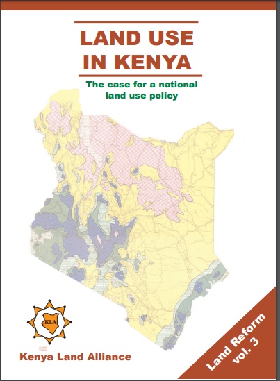
Land Use in Kenya; The case for a national land-use policy

Journal Articles & Books
February, 2015
Kenya

This book exposes the key land use and environmental problems facing Kenya today due to lack of an appropriate national land use policy. The publication details how the air is increasingly being polluted, the water systems are diminishing in quantity and deteriorating in quality. The desertification process threatens the land and its cover. The soils are being eroded leading to siltation of the ocean and lakes. The forests are being depleted with impunity thus destroying the water catchments.