Biodiversity Conservation, Land Use, Land Use Change and Forestry (LULUCF) Programmes
Reports & Research
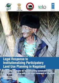
March, 2008
India
The study was undertaken to identify pertinent and emerging issues that have implications for biodiversity conservation and livelihoods and the inter-relationship between them. A detailed review of the current national and state policies was undertaken along with the strategies being implemented by the government and various multi-lateral and bi-lateral agencies and other organizations, focused especially in the states of Arunachal Pradesh, Chattisgarh, Jharkhand and Orissa as provided in the scope of the study.