page search

Issuesland use mappingLandLibrary Resource
There are 458 content items of different types and languages related to land use mapping on the Land Portal.
Displaying 133 - 144 of 273

A new method to derive precise land-use and land-cover maps using multi-temporal optical data

Journal Articles & Books
April, 2014
Japan

Here we propose an accurate and robust method for large-area land-use and land-cover (LULC) mapping using multi-temporal optical data. The conventional method for LULC classification usually uses time-series data at regular intervals to consider the seasonality of LULC. However, high-resolution optical data have considerable seasonal biases, making it difficult to use time-series data.

Pixel-based crop classification in Peru from Landsat 7 ETM+ images using a random forest model

Journal Articles & Books
March, 2016
Peru

Crop classification within large agricultural regions is challenging owing to the presence of crops with similar phenological variation and intra-class variability. The development of efficient and simple classification methods is needed for more accurate mapping, monitoring, and analysis of land-use categories.

Improving the accuracy of remotely sensed irrigated areas using post-classification enhancement through UAV [Unmanned Aerial Vehicle] capability

Journal Articles & Books
December, 2018
South Africa
Southern Africa

Although advances in remote sensing have enhanced mapping and monitoring of irrigated areas, producing accurate cropping information through satellite image classification remains elusive due to the complexity of landscapes, changes in reflectance of different land-covers, the remote sensing data selected, and image processing methods used, among others. This study extracted agricultural fields in the former homelands of Venda and Gazankulu in Limpopo Province, South Africa.

Historical perspectives on the future land uses of tsunami-affected areasThe case study of Hanagama District, Yamamoto, Miyagi

Journal Articles & Books
November, 2016

This study focuses on land use in the tsunami inundation area caused by the Great East Japan Earthquake, particularly land use history in the tsunami-affected area. Hanagama District, Yamamoto City, Miyagi prefecture, was selected as the study area. Land use were examined using aerial photographs taken in 1975, 2010 and 2013. Relationships between land use change and the disaster hazard areas, natural land conditions were analyzed with GIS.

Machine Learning and Property Rights

Journal Articles & Books
December, 2018
Global

An Introduction to Machine Learning

Machine learning is an application of artificial intelligence (AI) that enables systems to programmatically “learn” and improve from past experience. Computers use algorithms and statistical models to “learn” patterns and insights from sample sets of data (often called “training data sets”), and apply those insights to make intelligent predictions and decisions about much larger sets of data.

Improving the accuracy of remotely sensed irrigated areas using post-classification enhancement through UAV [Unmanned Aerial Vehicle] capability

Journal Articles & Books
December, 2018
South Africa

Although advances in remote sensing have enhanced mapping and monitoring of irrigated areas, producing accurate cropping information through satellite image classification remains elusive due to the complexity of landscapes, changes in reflectance of different land-covers, the remote sensing data selected, and image processing methods used, among others. This study extracted agricultural fields in the former homelands of Venda and Gazankulu in Limpopo Province, South Africa.

Annual Report 2018

Reports & Research
July, 2019
Global

We’re pleased to share the Land Portal Foundation's 2018 Annual Report. The report demonstrates how we are working to create a vibrant information ecosystem on land that contributes to better informed decisions and policy making on land throughout the world. This report showcases our efforts improve documentation, mapping and monitoring of land governance issues, to promote, inform and enrich global debate on key land issues and to raise awareness on open data principles to strengthen the flow of land governance information at all levels.

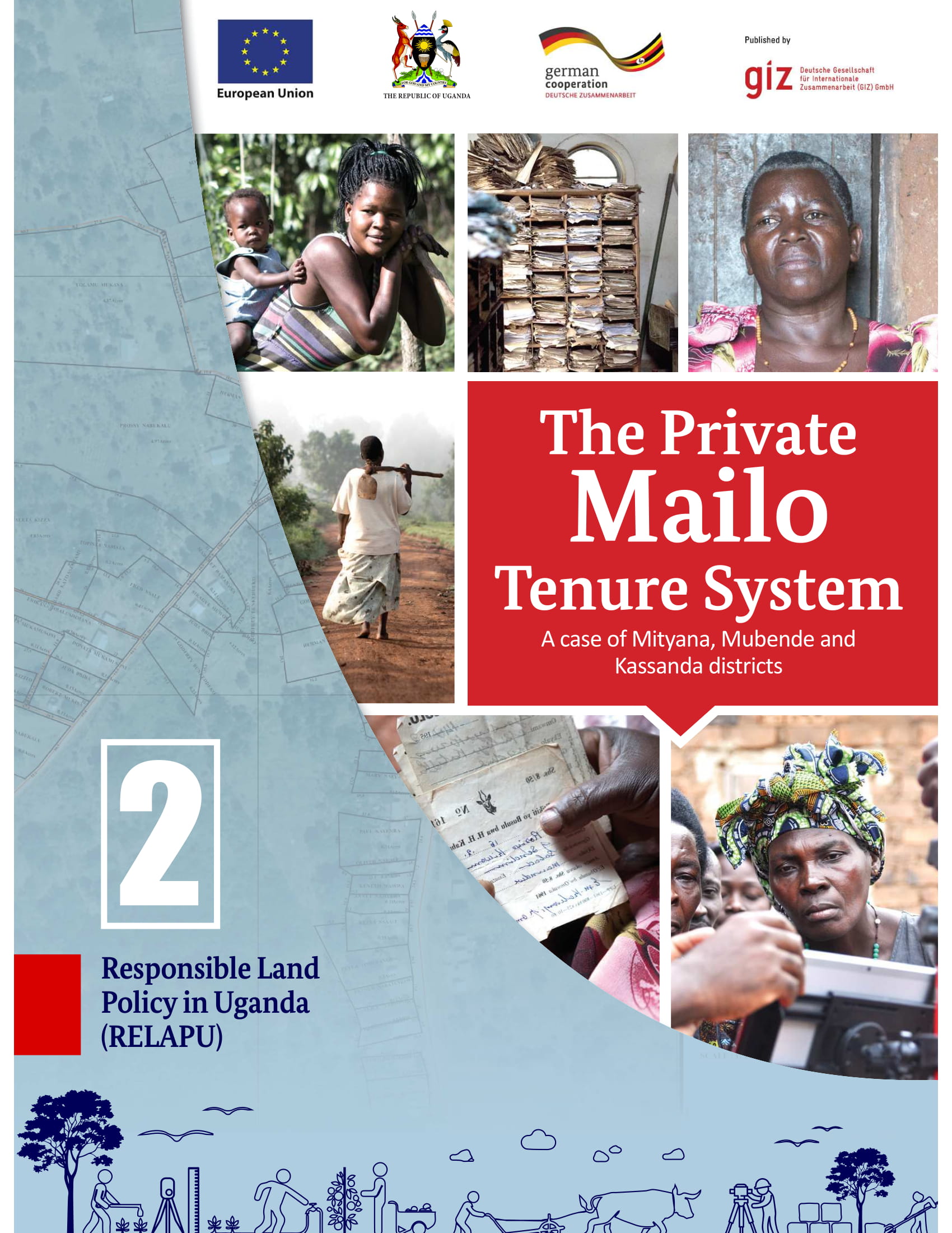
The private Mailo tenure system

Reports & Research
March, 2019
Africa
Sub-Saharan Africa
Uganda

Mailo is a unique tenure system in central Uganda. It is divided into three parts: Kabaka’s Mailo, Official Mailo and Private Mailo. Private Mailo belongs to an individual, so-called landowner and it can be sold, subdivided or transmitted. Conflicts on private Mailo can occur between landowners & tenants, tenants & tenants, and landowners & landowners. A key challenge is that there is a lack of knowledge and transparency on land rights on both sides.

Photogrammétrie numérique et cartographie automatique

Conference Papers & Reports
September, 1972
Africa

A l’occasion de la réfection des cartes périmées ou de l’établissement de cartes nouvelles, de nouvelles techniques automatisées semblent pouvoir rendre d’importants services. L’enregistrement des données numériques, notamment, à partir des photographies aériennes, peut se faire sans accroissement notable du délai de restitution, et se montre ainsi promis à d’intéressants développements.