page search

Issuesland use mappingLandLibrary Resource
There are 454 content items of different types and languages related to land use mapping on the Land Portal.
Displaying 265 - 272 of 272

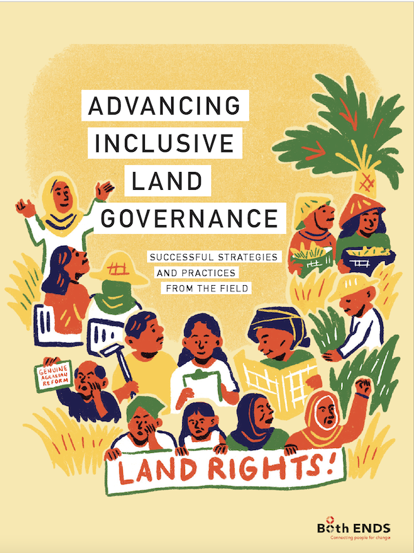
Advancing Inclusive Land Governance

Manuals & Guidelines
November, 2020
Global

Land lies at the very foundation of our society and social life; it plays a central role in the livelihoods and cultural identities of communities across the globe, and contains the resources that underpin our now globalised world. However, partly because of this, it is often at the heart of social and political conflicts. Increasing demand for food, energy and other primary products is driving agribusinesses, mining companies and speculative investors in a quest for new land to acquire and exploit.

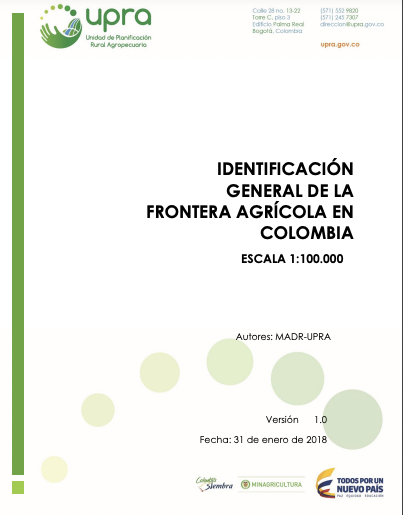
Identificación General de la Frontera Agrícola en Colombia

Policy Papers & Briefs
December, 2017
Latin America and the Caribbean
Colombia

Este documento contiene la identificación general de la frontera agrícola en Colombia, a escala 1:100.000. En éste se presenta el marco de referencia, la definición de frontera agrícola y el proceso metodológico para su identificación. La definición e identificación de la frontera agrícola se constituye en un referente, a escala nacional para orientar la formulación de política pública y focalizar la gestión e inversiones del sector agropecuario y de desarrollo rural.

Land-use change in the Caucasus during and after the Nagorno-Karabakh conflict

Journal Articles & Books
November, 2014
Armenia
Azerbaijan

Socioeconomic shocks can shape future land-use trajectories. Armed conflicts are an extreme form of a socioeconomic shock, but our understanding of how armed conflicts affect land-use change is limited. Our goal was to assess land-use changes related to the 1991–1994 Nagorno-Karabakh conflict between Armenia and Azerbaijan in the Caucasus region. We classified multi-temporal Landsat imagery, mapped land-use changes during and after the conflict, and applied matching statistics to isolate the effect of the conflict from other potential drivers of land change.

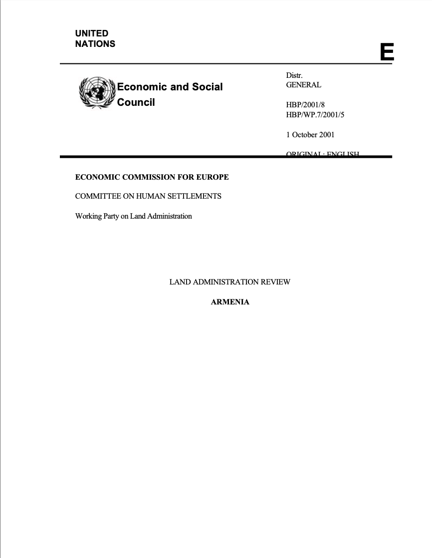
Land Administration Review: Armenia

Reports & Research
September, 2001
Armenia

At its sixty-first session in September 2000, the ECE Committee on Human Settlements accepted the proposal of the Bureau of the Working Party on Land Administration to provide expert assistance to Armenia on land administration issues (ECE/HBP/119, annex I, programme element “Land registration and land markets”). Security of tenure is one of the most important factors in fighting poverty and stabilizing communities by improving housing conditions through housing investments, reducing social exclusion, improving access to urban services, environment and safety in urban areas.

Plan National d'Affectation du Territoire

Reports & Research
Conference Papers & Reports
October, 2016
Gabon

LePNATconstitueleplushautniveauduprocessuspolitiqueettechniquedel’utilisationduterritoire.
LePNAToffrel’opportunitéd’encadrerdemanièrecohérentelesinitiativesdedéveloppementenmaximisantlesopportunitésd’optimisationetenminimisantlesrisquesdeconflitscar,résultantd’unecollaborationentretouslesministères,ilconstituelepremierdispositifdegestionduterritoireentièrementissudesadministrationsgabonaisesetdevientl’instancederéférenced’uneplanificationcohérenteduterritoire.

Ordonnance n°002/PR/2017 du 27 février 2017 portant orientation de l'urbanisme en République Gabonaise.

Legislation & Policies
January, 2017
Gabon

La présente ordonnance porte orientation de l'urbanisme en République Gabonaise. A cet effet, elle fixe la planification urbaine. Il s’agit notamment documents de planification urbaine (le Schéma Directeur d'Aménagement et d'Urbanisme (SDAU); le Plan d'Occupation des Sols (POS); Plan Directeur d'Urbanisme (PDU); Plan de Secteur (SMART CODE); Plan d’Aménagement de Zone (PAZ); Règlement National d’urbanisme (RNU).


Age, extent and carbon storage of the central Congo Basin peatland complex

Reports & Research
December, 2016
Congo

Peatlands are carbon-rich ecosystems that cover just three per cent of Earth's land surface, but store one-third of soil carbon. Peat soils are formed by the build-up of partially decomposed organic matter under waterlogged anoxic conditions. Most peat is found in cool climatic regions where unimpeded decomposition is slower, but deposits are also found under some tropical swamp forests. Here we present field measurements from one of the world's most extensive regions of swamp forest, the Cuvette Centrale depression in the central Congo Basin.

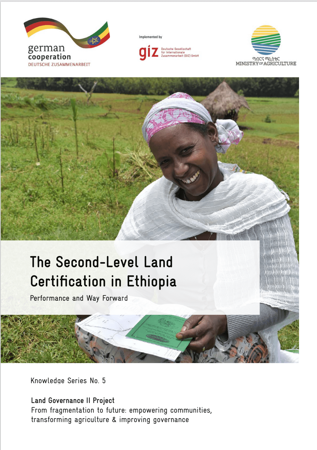
The Second-Level Land Certification in Ethiopia

Reports & Research
December, 2023
Ethiopia

This report provides an overview of land administration and certification efforts in Ethiopia, focusing on the Second-Level Land Certification (SLLC) program. As the most populous landlocked country in the world, Ethiopia's economy heavily relies on agriculture, making land tenure security and sustainable management crucial for livelihoods and food security.