Aller au contenu principal

page search

There are 1, 162 content items of different types and languages related to système d'information géographique on the Land Portal.
Displaying 349 - 360 of 367

Mapping Flood-Based Farming Systems with Bayesian Networks

Peer-reviewed publication
Septembre, 2020
Éthiopie
Kenya

Many actors in agricultural research, development, and policy arenas require accurate information on the spatial extents of cropping and farming practices. While remote sensing provides ways for obtaining such information, it is often difficult to distinguish between different types of agricultural practices or identify particular farming systems. Stochastic system behavior or similarity in the spectral signatures of different system components can lead to misclassification.

Sustainable recommendation domains for scaling agricultural technologies in Tanzania

Peer-reviewed publication
Juin, 2017
Tanzania

Low adoption of sustainable intensification technologies hinders achievement of their potential impacts on increasing agricultural productivity. Proper targeting of locations to scale-out particular technologies is a key determinant of the rate of adoption. Targeting locations with similar biophysical and socio-economic characteristics significantly increases the probability of adoption. Areas with similar biophysical and socio-economic characteristics are referred to as recommendation domains (RDs).

Exploring land use/land cover changes, drivers and their implications in contrasting agro-ecological environments of Ethiopia

Peer-reviewed publication
Août, 2019
Éthiopie

This study examined the trends, driving factors, and implications of land use/land cover (LULC) dynamics over the past 35 years (1982–2017) in three watersheds of the drought-prone areas that represent different agro-ecologies of Upper Blue Nile basin, Ethiopia: Guder (highland), Aba Gerima (midland), and Debatie (lowland). The changes in LULC were analyzed by integrating field observations, remote-sensing data (aerial photographs [1: 50,000 scale] and very high resolution [0.5–3.2 m] satellite images), and geographic information systems.

Land use optimization tool for sustainable intensification of high-latitude agricultural systems

Peer-reviewed publication
Octobre, 2019
Finlande
Norvège

Recent studies assessing agricultural policies, including the EU’s Agri-Environment Scheme, have shown that these have been successful in attaining some environmental goals. In Finland, however, the economic situation of farms has dramatically fallen and hence, the actions do not result in social acceptability. Sustainable intensification is a means to combine the three dimensions of sustainability: environmental, economic and social. Here we introduce a novel land use optimization and planning tool for the sustainable intensification of high-latitude agricultural systems.

Questioning the use of ‘degradation’ in climate mitigation: A case study of a forest carbon CDM project in Uganda

Peer-reviewed publication
Décembre, 2016
Ouganda

An urgent need to stop degradation is frequently cited as support for climate mitigation efforts involving forests. However, lessons learnt from social science research on degradation narratives are not taken into consideration. This creates a risk of problematic degradation narratives being used to legitimise forest carbon projects. This study examined a Clean Development Mechanism (CDM) forest plantation in Uganda, where incomplete and partly contradictory evidence on land use change was interpreted in a way that overemphasised degradation.

Assessing the relationship between land tenure issues and land cover changes around the Arabuko Sokoke Forest in Kenya

Peer-reviewed publication
Mai, 2020
Kenya
Norvège

Land as an essential resource is becoming increasingly scarce due to population growth. In the case of the Kenyan coast, population pressure causes land cover changes in the Arabuko Sokoke Forest, which is an important habitat for endangered species. Forest and bushland have been changed to agricultural land in order to provide livelihood for the rural population who are highly dependent on small-scale farming. Unclear land rights and misbalanced access to land cause uncontrolled expansion and insecure livelihoods.

Fine-grained detection of land use and water table changes on organic soils over the period 1992⿿2012 using multiple data sources in the Drömling nature park, Germany

Peer-reviewed publication
Novembre, 2016
Allemagne
Japon
Norvège

The construction of consistent time series of land use presents a key challenge when accounting for elective land use-based activities under the Kyoto Protocol (wetland drainage and rewetting (WDR), cropland management (CM) and grazing land management (GM)), in which current land use-driven greenhouse gas emissions are compared to a reference situation in 1990. This case study is the first to demonstrate the feasibility of using high-resolution land-use proxies from different datasets for Kyoto accounting in a data-rich case study region in Germany.

End of Desertification? Disputing Environmental Change in the Drylands

Journal Articles & Books
Décembre, 2016
Argentine
Burkina Faso
République centrafricaine
Chine
Cameroun
Algérie
Érythrée
Éthiopie
Mali
Mauritanie
Niger
Nigéria
Soudan
Sénégal
Soudan du Sud
Tchad
Asie central

It took scientists more than three decades to transform a perceived desertification crisis in the Sahel into a non-event. Looking beyond the Sahel, the chapters in this book provide case studies from around the world that examine the use and relevance of the desertification concept.

Identifying hotspots in land use land cover change and the drivers in a semi-arid region of India

Journal Articles & Books
Décembre, 2018
Inde

The study examines long-term land use/land cover change (LUCC) at a finer scale in a semi-arid region of India. The objectives were to study and quantify the spatiotemporal LUCC and uncover the major drivers causing the change in the Mula Pravara river basin, which is located in a semi-arid region of Maharashtra state, India.

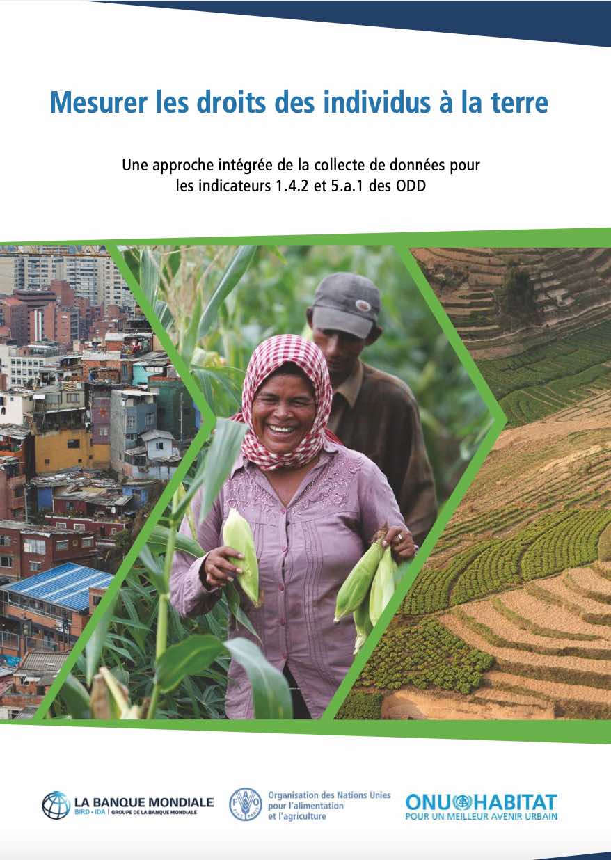
Mesurer les droits des individus à la terre

Reports & Research
Décembre, 2020
Afrique
Amériques
Asie
Europe
Océanie

Ce document vise à faciliter la collecte de données comparable entre pays pour le calcul des indicateurs des ODD 1.4.2 et 5.a.1 conformément aux méthodologies approuvées par l’IAEG-SDG. Cette publication donne un aperçu des indicateurs, une discussion sur les différents modules de questionnaire proposés et des conseils détaillés pour chacun.

Cadastral Data Model for an Informal Settlement: Case Study of Huruma, Nairobi – Kenya

Peer-reviewed publication
Avril, 2019
Kenya

The complexity of tenure claims in the informal settlements has been difficult to incorporate into the formal systems owing to their dynamic and continuously changing nature. Innovative tools are therefore required to capture these claims. This requires the development of a cadastral data model specifically for informal settlements that would document such claims to make it easier to manage the current situation as well as prepare for future formalization processes such as regularization or relocation.