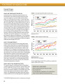
Maize yield potential
Peer-reviewed publication
Décembre, 2014
Afrique orientale
Afrique occidentale
Afrique australe
Afrique sub-saharienne
Afrique
AGROVOC URI:
Desarrollo Rural y TIC
Mariana Fossetti*
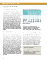
Global demand for timber, agricultural commodities, and extractives is a significant driver of deforestation worldwide. Transparent land-concessions data for these large-scale commercial activities are essential to understand drivers of forest loss, monitor environmental impacts of ongoing activities, and ensure efficient and sustainable allocation of land.

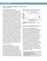
A landscape epidemiology modeling framework is presented which integrates the simulation outputs from an established spatial agent-based model (ABM) of malaria with a geographic information system (GIS). For a study area in Kenya, five landscape scenarios are constructed with varying coverage levels of two mosquito-control interventions. For each scenario, maps are presented to show the average distributions of three output indices obtained from the results of 750 simulation runs. Hot spot analysis is performed to detect statistically significant hot spots and cold spots.
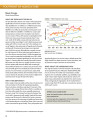
Halgurd Sakran National Park (HSNP) is Iraq’s first designated national park, located in the Kurdistan Region, which has suffered multiple armed conflicts over the past decades. This study assesses how vegetation dynamics have affected the landscape structure and composition of the core zone of the park over the last 31 years. Spatio-temporal changes in land cover were mapped for three points in time using remote sensing, geographic information systems (GIS), and landscape metrics.