Passar para o conteúdo principal

page search

IssuesdesflorestaçãoLandLibrary Resource
There are 3, 056 content items of different types and languages related to desflorestação on the Land Portal.

desflorestação

AGROVOC URI:

Displaying 445 - 456 of 1177

Design and Interpretation of Intensity Analysis Illustrated by Land Change in Central Kalimantan, Indonesia

Peer-reviewed publication
Setembro, 2013

Intensity Analysis has become popular as a top-down hierarchical accounting framework to analyze differences among categories, such as changes in land categories over time. Some aspects of interpretation are straightforward, while other aspects require deeper thought. This article explains how to interpret Intensity Analysis with respect to four concepts. First, we illustrate how to analyze whether error could account for non-uniform changes. Second, we explore two types of the large dormant category phenomenon. Third, we show how results can be sensitive to the selection of the domain.

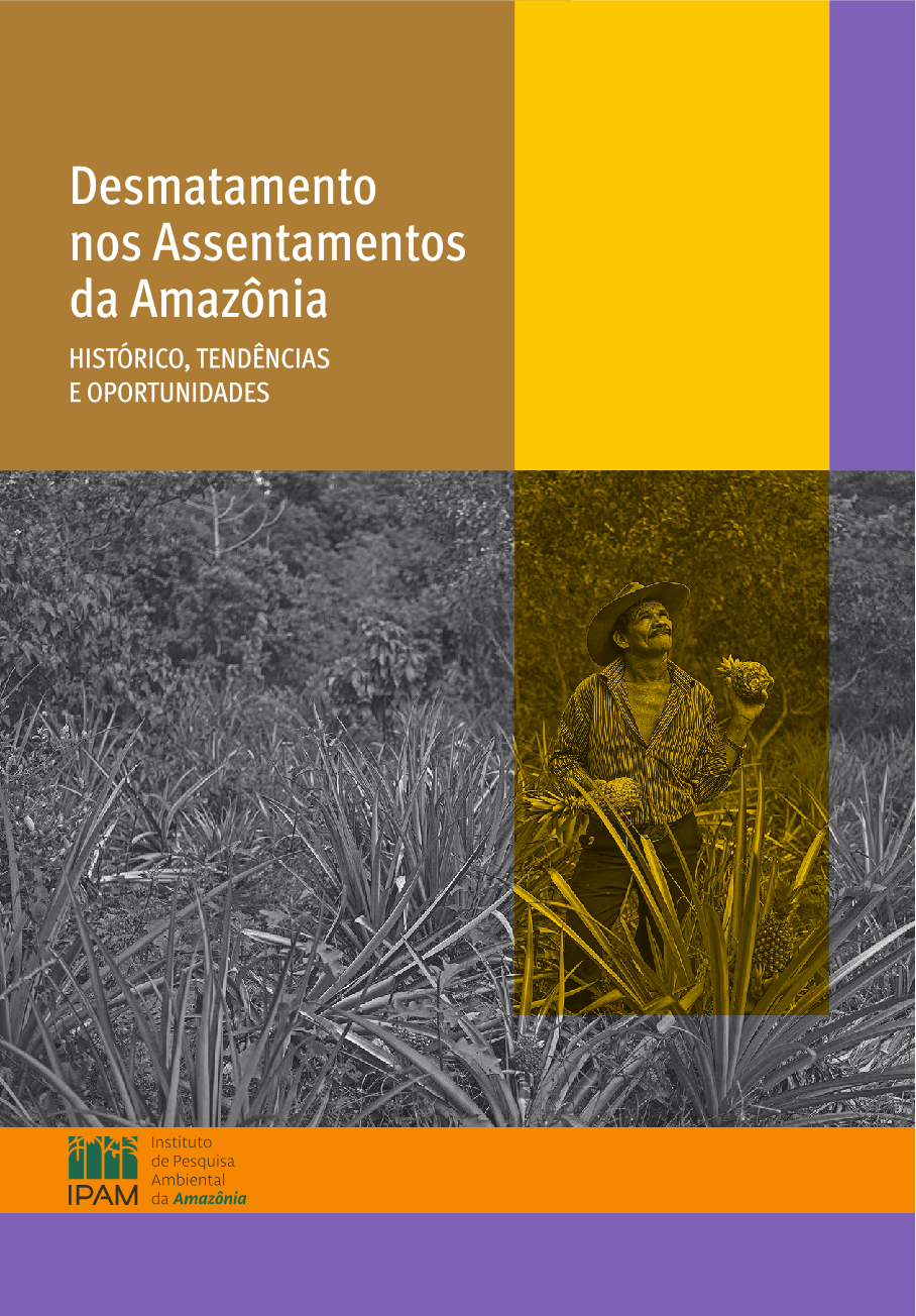
Desmatamento nos Assentamentos da Amazônia: Histórico, Tendências e Oportunidades

Journal Articles & Books
Dezembro, 2015
Brasil

Os assentamentos de reforma agrária têm assumido um papel de destaque em relação ao desmatamento da Amazônia nos últimos cinco anos. Atualmente cerca de 8% do território dos estados amazônicos (41,8 milhões de hectares) encontra-se destinado aos 3.589 assentamentos de reforma agrária.

Hidrelétricas na Amazônia: Um mau negócio para o Brasil e para o Mundo

Journal Articles & Books
Março, 2016
Brasil

A Amazônia brasileira, que detém grande parte da maior floresta tropical do mundo, está ameaçada pela exploração descontrolada de seus recursos naturais. Mais de 750.000 km² de florestas já foram desmatados por atividades econômicas em escala industrial como a produção agropecuária, mineração, exploração ilegal de madeira e grandes projetos de infraestrutura, especialmente usinas hidrelétricas –, colocando em risco a biodiversidade incomparável da região, forçando o deslocamento de comunidades tradicionais e povos indígenas de suas terras e agravando as mudanças do clima global.

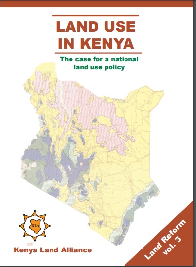
Land Use in Kenya; The case for a national land-use policy

Journal Articles & Books
Fevereiro, 2015
Quênia

This book exposes the key land use and environmental problems facing Kenya today due to lack of an appropriate national land use policy. The publication details how the air is increasingly being polluted, the water systems are diminishing in quantity and deteriorating in quality. The desertification process threatens the land and its cover. The soils are being eroded leading to siltation of the ocean and lakes. The forests are being depleted with impunity thus destroying the water catchments.

Exploring the biophysical option space for feeding the world without deforestation

Peer-reviewed publication
Março, 2016
Global

Safeguarding the world’s remaining forests is a high-priority goal. We assess the biophysical option space for feeding the world in 2050 in a hypothetical zero-deforestation world. We systematically combine realistic assumptions on future yields, agricultural areas, livestock feed and human diets. For each scenario, we determine whether the supply of crop products meets the demand and whether the grazing intensity stays within plausible limits. We find that many options exist to meet the global food supply in 2050 without deforestation, even at low crop-yield levels.

Full polarimetric PALSAR-based land cover monitoring in Cambodia for implementation of REDD policies

Journal Articles & Books
Dezembro, 2013
Cambodja

Forest cover monitoring plays an important role in the implementation of climate change mitigation policies such as Kyoto protocol and Reducing Emissions from Deforestation and Forest Degradation (REDD). In this study, we have monitored land cover using the PALSAR (Phased Array type L-band Synthetic Aperture Radar) full polarimetric data based on incoherent target decomposition.

Towards a World Desertification Atlas. Relating and selecting indicators and data sets to represent complex issues

Journal Articles & Books
Dezembro, 2012
África

Mapping land degradation and desertification (LDD) at the global scale still is a conceptual and operational challenge. The present study has been performed in the frame of the WAD (new World Atlas of Desertification) initiative. The objective of the paper is to test a structured procedure to identify relevant indicators for an effective representation of complex global LDD issues, based on available data sets (both geo-spatial and statistical), and conform to the UNCCD (United Nations Convention to Combat Desertification) requirements.

Can “fragile states” decide to reduce their deforestation? The inappropriate use of the theory of incentives with respect to the REDD mechanism

Journal Articles & Books
Dezembro, 2012

The originality of the REDD proposal is its incentives-based mechanism designed to reward the governments of developing countries for their performance in reducing deforestation as measured against a baseline. This mechanism is founded on the hypothesis that developing countries ‘pay’ an opportunity cost to conserve their forests and would prefer other choices and convert their wooden lands to other uses. The basic idea is, therefore, to pay rents to these countries to compensate for the anticipated foregone revenues.

Retrospective analysis of landscape dynamics using normalized spectral entropy

Journal Articles & Books
Dezembro, 2013

Forest dynamics, such as deforestation, reforestation and afforestation, could be caused by the natural and human-induced disturbances. Traditional methods rarely quantify the history of such disturbances along a continuous temporal trajectory; yet, such disturbance history often determines system course and evolution. We adopted a retrospective perspective to study system history by implementing a newly proposed entropy index.

Co‐benefits, trade‐offs, barriers and policies for greenhouse gas mitigation in the agriculture, forestry and other land use (AFOLU) sector

Journal Articles & Books
Dezembro, 2014

The agriculture, forestry and other land use (AFOLU) sector is responsible for approximately 25% of anthropogenic GHG emissions mainly from deforestation and agricultural emissions from livestock, soil and nutrient management. Mitigation from the sector is thus extremely important in meeting emission reduction targets. The sector offers a variety of cost‐competitive mitigation options with most analyses indicating a decline in emissions largely due to decreasing deforestation rates.

Impacts of Deforestation and Land Cover Change on Mountain Soils in Hrazdan, Armenia

Journal Articles & Books
Dezembro, 2011
Arménia

The impacts of deforestation and land cover change upon underlying soils were examined on one hillside in central Armenia. Soil characteristics in three land cover areas—forest, coppice, and pasture—were recorded and soil samples were analyzed. Deforestation and land cover change were found to increase erosion rates. From soil horizon and structural characteristics, it can be estimated that 40 cm of soil have been lost in the pasture and 20 cm have been lost in the coppice compared to the forest. Soil organic carbon was also affected by deforestation and land cover change.