Aller au contenu principal

page search

Displaying 13 - 24 of 277

Farms or Forests? Understanding and Mapping Shifting Cultivation Using the Case Study of West Garo Hills, India

Peer-reviewed publication
Septembre, 2019
Inde

Attempts to study shifting cultivation landscapes are fundamentally impeded by the difficulty in mapping and distinguishing shifting cultivation, settled farms and forests. There are foundational challenges in defining shifting cultivation and its constituent land-covers and land-uses, conceptualizing a suitable mapping framework, and identifying consequent methodological specifications.

Annual Report 2018

Reports & Research
Juillet, 2019
Global

We’re pleased to share the Land Portal Foundation's 2018 Annual Report. The report demonstrates how we are working to create a vibrant information ecosystem on land that contributes to better informed decisions and policy making on land throughout the world. This report showcases our efforts improve documentation, mapping and monitoring of land governance issues, to promote, inform and enrich global debate on key land issues and to raise awareness on open data principles to strengthen the flow of land governance information at all levels.

The private Mailo tenure system

Reports & Research
Mars, 2019
Africa
Sub-Saharan Africa
Uganda

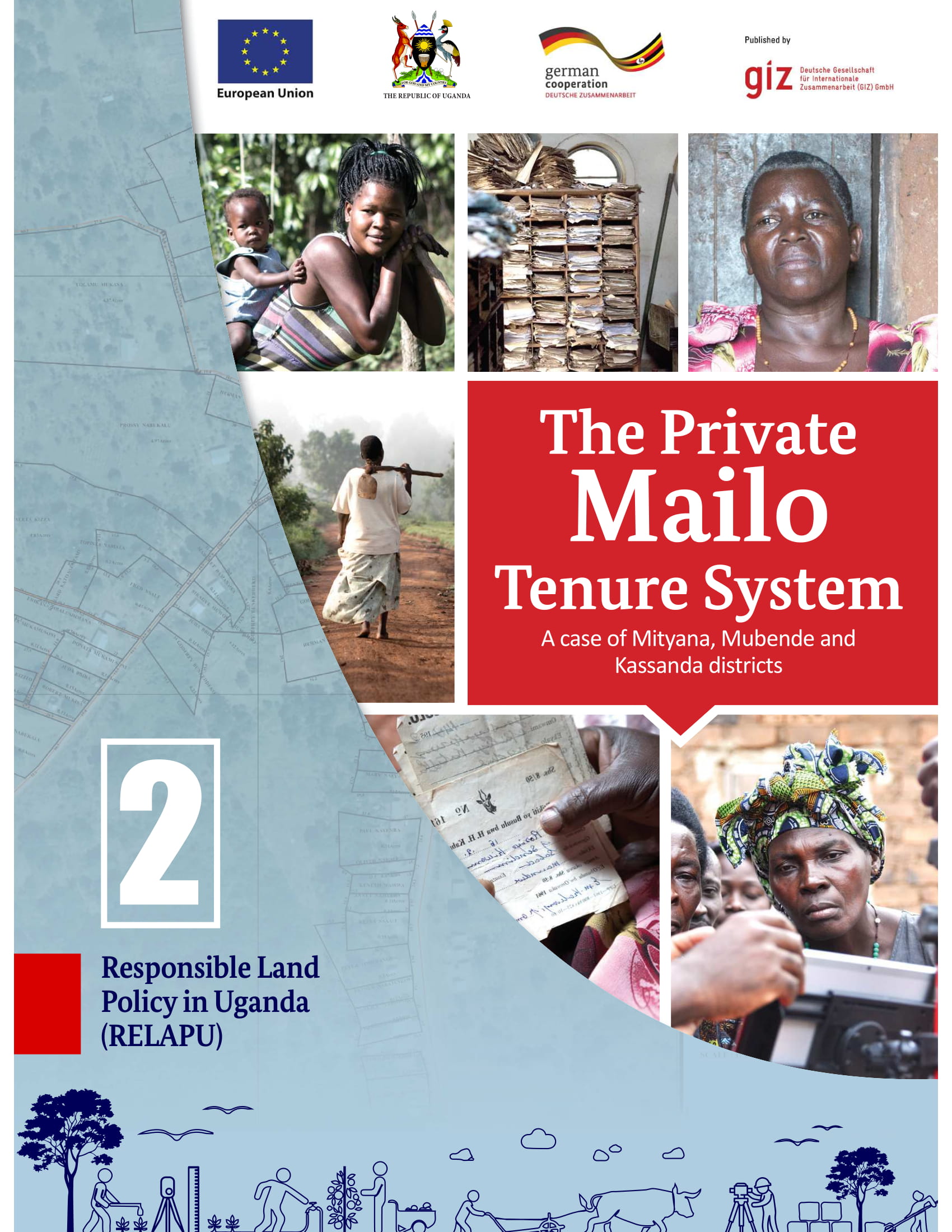
Mailo is a unique tenure system in central Uganda. It is divided into three parts: Kabaka’s Mailo, Official Mailo and Private Mailo. Private Mailo belongs to an individual, so-called landowner and it can be sold, subdivided or transmitted. Conflicts on private Mailo can occur between landowners & tenants, tenants & tenants, and landowners & landowners. A key challenge is that there is a lack of knowledge and transparency on land rights on both sides.

Land Rights for Slum Dwellers in Odisha: Making technology work for the urban poor

Reports & Research
Février, 2019
Inde

The webinar Land Rights for Slum Dwellers in the East Indian State Odisha: Making technology work for the urban poor took place on 14 February, 2018. 

The webinar discussed anecdotes of the land rights policy in the state, application of innovative technology, processes and partnerships in the project execution and best practices followed in gaining rights for slum dwellers. 

This report provides a brief summary of the webinar dialogue and the main points that emerged.

Analysis of High Temporal Resolution Land Use/Land Cover Trajectories

Peer-reviewed publication
Janvier, 2019
Brésil

In this study, methods, originally developed to assess life course trajectories, are explored in order to evaluate land change through the analysis of sequences of land use/cover. Annual land cover maps which describe land use/land cover change for the 1985–2017 period for a large region in Northeast Brazil were analyzed. The most frequent sequences, the entropy and the turbulence of the land trajectories, and the average time of permanence were computed. Clusters of similar sequences were determined using different dissimilarity measures.

Towards better mapping of forest management patterns: A global allocation approach

Journal Articles & Books
Janvier, 2019
Global

Forests provide numerous ecosystem services, such as timber yields, biodiversity protection and climate change mitigation. The type of management has an effect on the provision of these services. Often the demands for these services can lead to conflict – wood harvest can negatively impact biodiversity and climate change mitigation capacity. Although forest management differences are important, spatially explicit data is lacking, in particular on a global scale.

Machine Learning and Property Rights

Journal Articles & Books
Décembre, 2018
Global

An Introduction to Machine Learning

Machine learning is an application of artificial intelligence (AI) that enables systems to programmatically “learn” and improve from past experience. Computers use algorithms and statistical models to “learn” patterns and insights from sample sets of data (often called “training data sets”), and apply those insights to make intelligent predictions and decisions about much larger sets of data.

Improving the accuracy of remotely sensed irrigated areas using post-classification enhancement through UAV [Unmanned Aerial Vehicle] capability

Journal Articles & Books
Décembre, 2018
South Africa
Southern Africa

Although advances in remote sensing have enhanced mapping and monitoring of irrigated areas, producing accurate cropping information through satellite image classification remains elusive due to the complexity of landscapes, changes in reflectance of different land-covers, the remote sensing data selected, and image processing methods used, among others. This study extracted agricultural fields in the former homelands of Venda and Gazankulu in Limpopo Province, South Africa.

Improving the accuracy of remotely sensed irrigated areas using post-classification enhancement through UAV [Unmanned Aerial Vehicle] capability

Journal Articles & Books
Décembre, 2018
South Africa

Although advances in remote sensing have enhanced mapping and monitoring of irrigated areas, producing accurate cropping information through satellite image classification remains elusive due to the complexity of landscapes, changes in reflectance of different land-covers, the remote sensing data selected, and image processing methods used, among others. This study extracted agricultural fields in the former homelands of Venda and Gazankulu in Limpopo Province, South Africa.

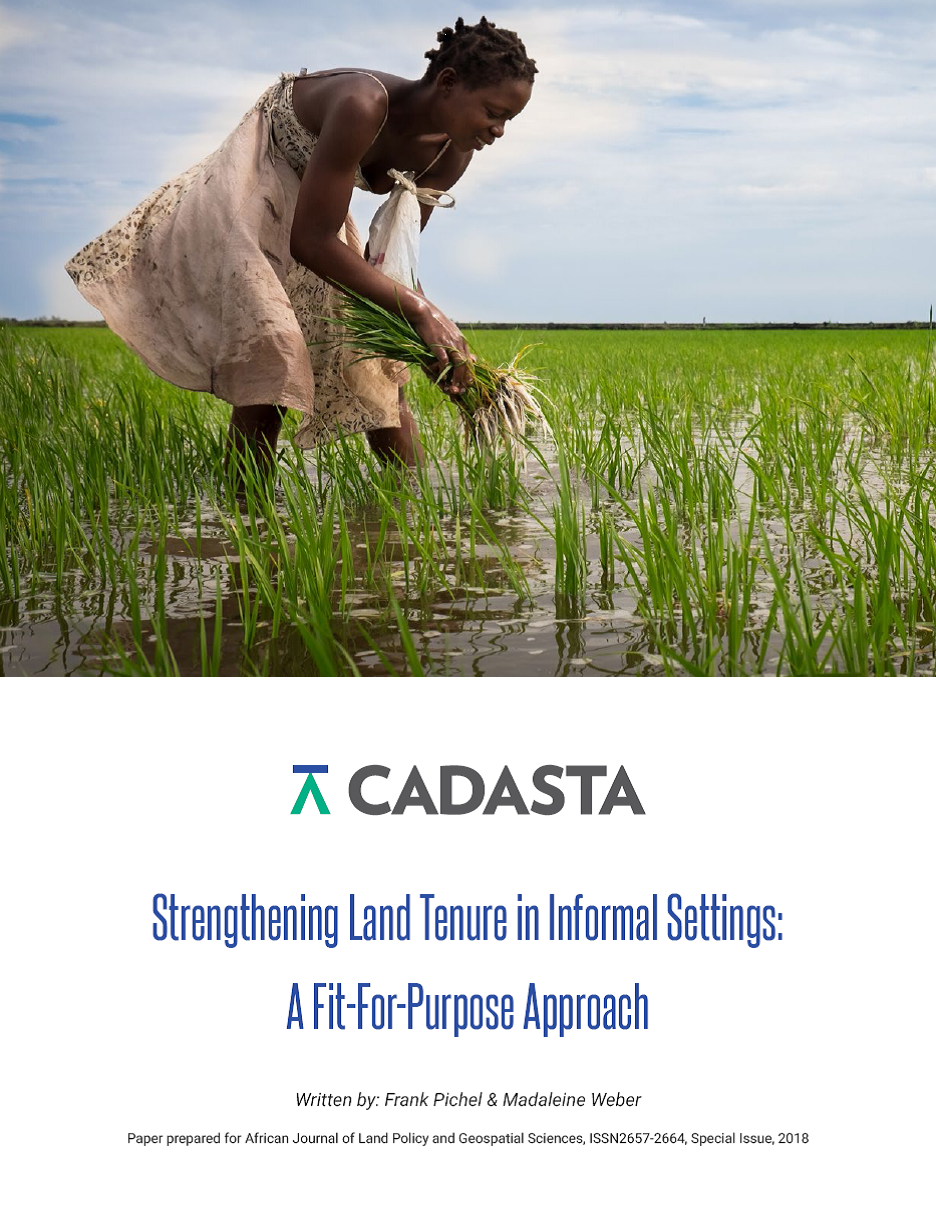
Strengthening Land Tenure in Informal Settings: A Fit-For-Purpose Approach

Journal Articles & Books
Novembre, 2018
Kenya
Tanzania
Myanmar
Inde
Népal
Global

A functioning land administration sector is the foundation for economic growth. Unfortunately, effective land registry and cadastral systems with national coverage exist in only a fraction of the world’s countries. Cadasta Foundation is working to overcome this challenge by developing simple digital tools and technology to help partners efficiently document, analyze, store, and share critical land and resource rights information.

Landsat8 Based Crops and Other Land Use Mapping in Okara District of Pakistan

Reports & Research
Octobre, 2018
Norway
Pakistan

Developing countries like Pakistan is among those where lack of adoption to science and technology advancement is major constraint for Satellite Remote Sensing use in crops and land use land cover digital information generation. Exponential rise in country population, increased food demand, limiting natural resources coupled with migration of rural community to urban areas had further led to skewed official statistics.