Turkey related Blog post | Land Portal
Displaying 1 - 2 of 2
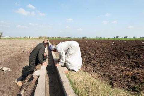
Egypt irrigation
30 March 2021
Authors: 
Ms. Gemma Betsema
Lisette Meij
Egypt
Morocco
Sudan
Tunisia
Turkey

What are the state-of-the-art and new approaches to land consolidation as part of integrated rural development strategies in North Africa and Near East? That was the main question around which several experts from Egypt, Morocco, Sudan, Tunisia, and Turkey joined the FAO/ RVO roundtable discussion on land consolidation during the Second Arab Land Conference last February; a session which 110 participants attended – both in person and online.

KOBANE, SYRIA AND SYRIA TURKEY BORDER REGION - OCTOBER 15, 2014: Satellite data shows abandoned cars as refugees flee from Syria. Satellites have the ability to map out the flow of refugees, and can be used for humanitarian purposes. (Photo GETTY)
12 August 2019
Syrian Arab Republic
Turkey
Global

Knowing the "where" is important for so many companies and projects today. A business might want to know what path you take to work to send you targeted ads about coffee shops you pass. Augmented reality platforms might map out interior spaces of your home and offices to create a dancing critter in your living room. Self driving cars need to map their environment, and satellites map out the Earth below.


Share this page