Missed an interesting event or property rights? Find out the headlines and information about any past events or conferences.
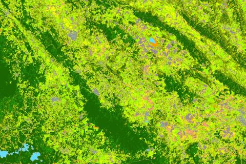
Through the Land Data Lens – What are we seeing/Not seeing?
The objectives of this session are to highlight national, regional and global progress and accomplishments in outcome 3 of phase 3 of the GLTN program, to gather feedback from GLTN partners and receive proposals on the monitoring focus in phase 4, and to identify potential collaborative opportunities with GLTN partners to upscale monitoring of the land agenda.
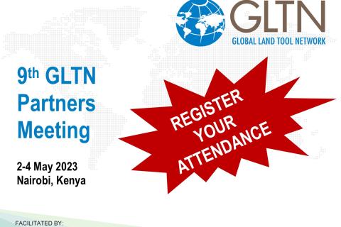
9th GLTN Partners Meeting 2023
The 9th GLTN Partners’ Meeting 20203 will focus on the lessons learnt from Phase 3 and reflect on the way forward towards Phase 4 of the GLTN programme.
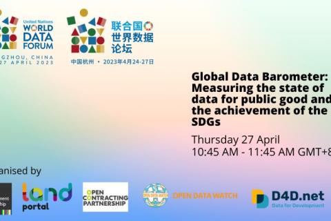
Measuring the state of data for public good and the achievement of the SDGs [UN World Data Forum Side Event]
As the deadline for the Sustainable Development Goals and Agenda 2030 approaches, the need to monitor progress on the development goals could not be clearer, as is the need to assess the role of data in advancing toward the goals.
Fourth UN World Data Forum 2023
The Fourth UN World Data Forum 2023 is scheduled to take place in Hangzhou, China, in April 2023. The UN World Data Forum aims to spur data innovation, nurture partnerships, mobilize high-level political and financial support for data, and build a pathway to better data for sustainable development.
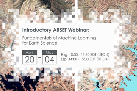
Fundamentals of Machine Learning for Earth Science
NASA’s Applied Remote Sensing Training Program (ARSET) has opened a new online introductory webinar series: Fundamentals of Machine Learning for Earth Science. This three-part training, presented in English and Spanish, is open to the public and will provide attendees an overview of machine learning in regards to Earth Science, and how to apply these algorithms and techniques to remote sensing data in a meaningful way. Attendees will also be provided with end-to-end case study examples for generating a simple random forest model for land cover classification from optical remote sensing. We will also present additional case studies to apply the presented workflows using additional NASA data.
Crop Mapping using Synthetic Aperture Radar (SAR) and Optical Remote Sensing
NASA’s Applied Remote Sensing Training Program (ARSET) has opened a new online advanced webinar series: Crop Mapping using Synthetic Aperture Radar (SAR) and Optical Remote Sensing. This three-part training, presented in English and Spanish, is open to the public and builds on previous ARSET agricultural trainings. Here we present more advanced radar remote sensing techniques using polarimetry and a canopy structure dynamic model to monitor crop growth. The training will also cover methods that use machine learning methods to classify crop type using a time series of Sentinel-1 & Sentinel-2 imagery. This series will include practical exercises using the Sentinel Application Platform (SNAP) and Python code written in Python Jupyter Notebooks, a web-based interactive development environment for scientific computing and machine learning.
Taking Data Back: Women’s Sovereignty over Land Data
The theme for this year’s International Women’s Day is “DigitALL: Innovation and technology for gender equality”. The day aims to celebrate women and girls who are championing the advancement of transformative technology and digital education. It will also explore the impact of the digital gender gap on widening economic and social inequalities.
Biodiversity Applications for Airborne Imaging Systems
NASA’s Applied Remote Sensing Training Program (ARSET) opened a new open, online intermediate webinar series: Biodiversity Applications for Airborne Imaging Systems. This four-part webinar series will focus on NASA Earth Observations (EO) that can be used characterize the structure and function of ecosystems and to measure and monitor terrestrial and aquatic biodiversity.
The Maledu Judgment: The power of tenure rights recognition
This webinar discussed the implications of the Maledu judgment, the importance of recognizing and protecting informal land rights, the power of access to information and the positive outcomes tenure security can have for mining-affected communities. It will look at the impacts of the judgment for the community and explore how the community members have engaged with the mining company.
CCSI Executive Training on Sustainable Investments in Agriculture 2023
The 2023 Executive Training Brochure is available for download here(link is external). Applications will be accepted here(link is external) on a rolling basis until March 15, 2023. Applicants are strongly encouraged to apply early.
IATI Members' Assembly and Community Exchange (13-16 March 2023)
IATI will host its annual Members' Assembly and Community Exchange in-person in Copenhagen (UN City) between Monday 13 and Thursday 16 March 2023.
Inclusive finance for land governance: A conversation with donors
The webinar will: hear from donors about their experience and challenges in making grants more inclusive; give insights in measuring inclusiveness; and ask and discuss questions on how donors can use data-driven information to inform their decisions in financing land governance investments.

