Aller au contenu principal

page search

Displaying 1 - 12 of 277

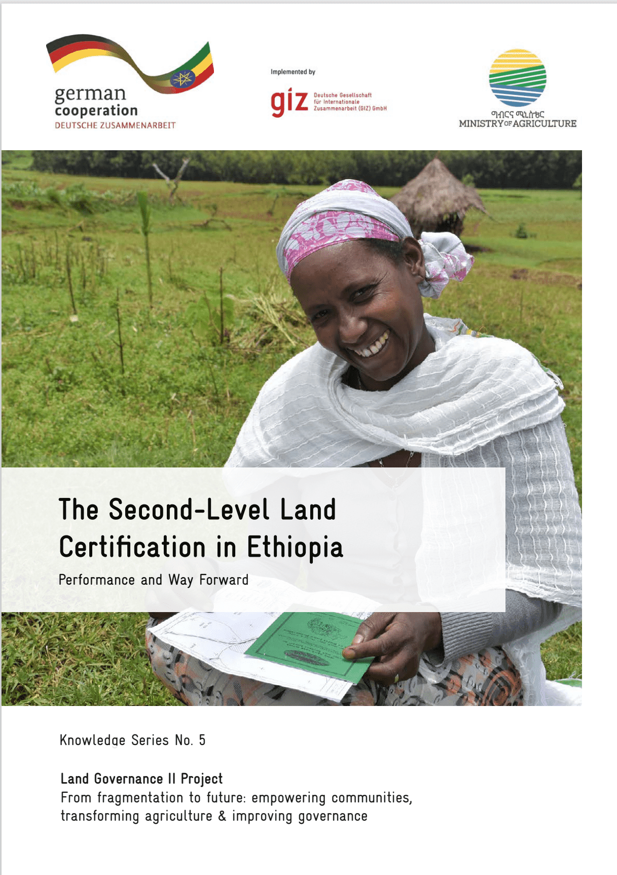
The Second-Level Land Certification in Ethiopia

Reports & Research
Décembre, 2023
Ethiopia

This report provides an overview of land administration and certification efforts in Ethiopia, focusing on the Second-Level Land Certification (SLLC) program. As the most populous landlocked country in the world, Ethiopia's economy heavily relies on agriculture, making land tenure security and sustainable management crucial for livelihoods and food security.

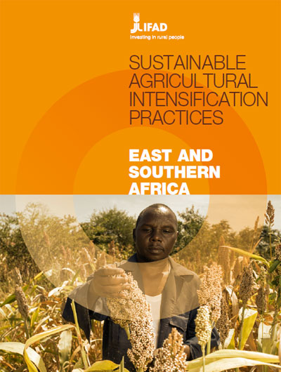
Pratiques d’intensification agricole durable – Afrique orientale et australe

Journal Articles & Books
Avril, 2023
Afrique
Afrique orientale
Afrique australe

L’intensification agricole durable désigne des pratiques visant à produire davantage à partir de terres, de ressources en eau ou d’autres ressources naturelles données, tout en protégeant l’environnement et en accroissant les retombées économiques et sociales positives.

Les auteurs de la présente note recensent les pratiques d’intensification agricole durable de 17 pays d’Afrique orientale et australe, et formulent des recommandations sur les meilleures méthodes pour les promouvoir dans les pays concernés.

Guide Méthodologique de réalisation de la cartographie participative au Bénin

Manuals & Guidelines
Avril, 2021
Afrique sub-saharienne
Afrique occidentale
Bénin

Face aux enjeux liés à la gouvernance foncière, plusieurs initiatives de cartographie participative ont été menées, au Bénin et ailleurs en Afrique. Une initiative de ce type est d’autant plus indispensable au Bénin, sachant que les limites des villages n’ont pas encore de reconnaissance administrative. Comment tirer des enseignements de ces expériences, pour alimenter la méthodologie de réalisation des cartes participatives ? Une méthode de cartographie participative peut-elle être institutionnalisée ?

Advances in the Coordination between the Cadastre and Land Registry

Peer-reviewed publication
Janvier, 2021
Canada
Spain
United States of America

A necessary and effective coordination between cadastre and land registry has always existed in Spain, but the difficulties have only been specifically addressed in the last few years. The aim of this study is to illustrate, analyse, and evaluate advances in this coordination in Spain from the beginnings of the current system in the early twentieth century, with the cadastre and land registry operating as separate organisations. A preliminary study was made in 2002 of the difficulties that needed to be overcome to achieve an ideal coordination of mainly mapped information.

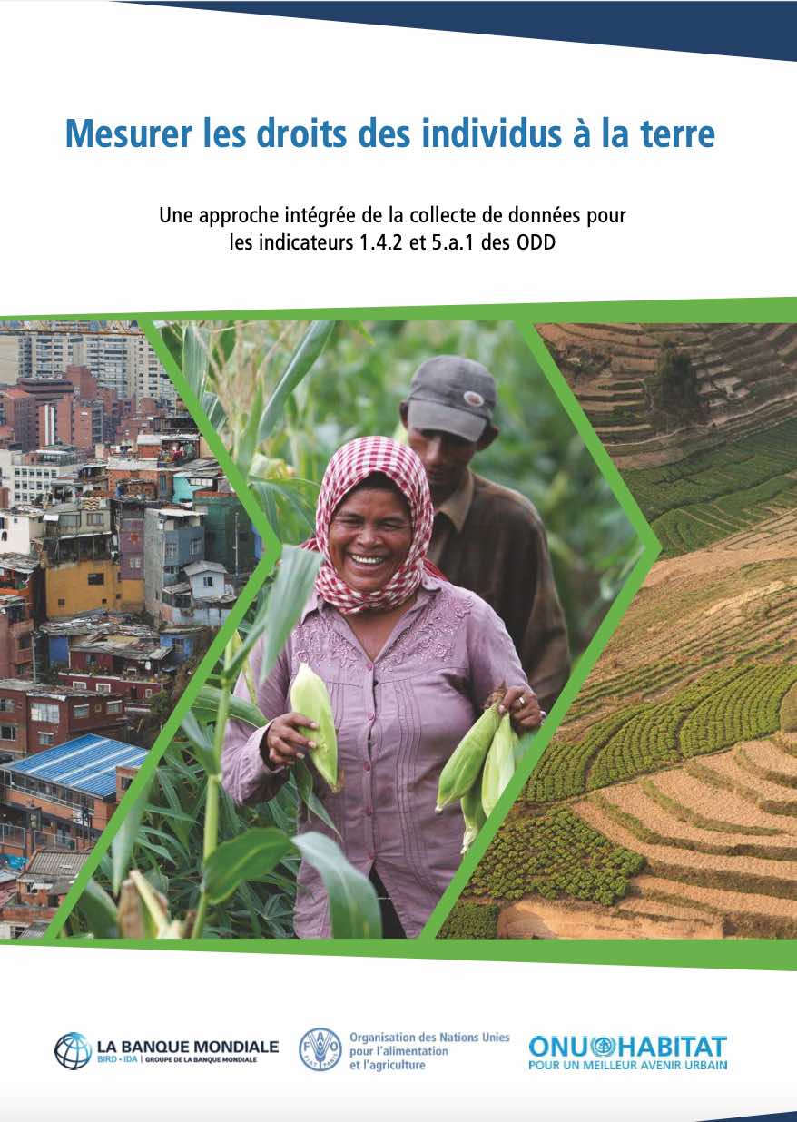
Mesurer les droits des individus à la terre

Reports & Research
Décembre, 2020
Afrique
Amériques
Asie
Europe
Océanie

Ce document vise à faciliter la collecte de données comparable entre pays pour le calcul des indicateurs des ODD 1.4.2 et 5.a.1 conformément aux méthodologies approuvées par l’IAEG-SDG. Cette publication donne un aperçu des indicateurs, une discussion sur les différents modules de questionnaire proposés et des conseils détaillés pour chacun.

Advancing Inclusive Land Governance

Manuals & Guidelines
Novembre, 2020
Global

Land lies at the very foundation of our society and social life; it plays a central role in the livelihoods and cultural identities of communities across the globe, and contains the resources that underpin our now globalised world. However, partly because of this, it is often at the heart of social and political conflicts. Increasing demand for food, energy and other primary products is driving agribusinesses, mining companies and speculative investors in a quest for new land to acquire and exploit.

The Impact of Accounting for Future Wood Production in Global Vertebrate Biodiversity Assessments

Journal Articles & Books
Juillet, 2020

Forests are among the most species rich habitats and the way they are managed influences their capacity to protect biodiversity. To fulfill increasing wood demands in the future, planted and non-planted wood production will need to expand. While biodiversity assessments usually focus on the impacts of deforestation, the effects of wood harvest are mostly not considered, especially not in a spatially explicit manner. We present here a global approach to refine the representation of forest management through allocating future wood production to planted and non-planted forests.

Using Farmer Decision Rules for Mapping Historical Land Use Change Patterns from 1954 to 2007 in Rural Northwestern Vietnam

Peer-reviewed publication
Septembre, 2019
Viet Nam

The present study revealed how local socioecological knowledge elucidated during participatory rural appraisals and historical remote sensing data can be combined for analyzing land use change patterns from 1954 to 2007 in northwestern Vietnam. The developed approach integrated farmer decision rules on cropping preferences and location, visual and supervised classification methods, and qualitative information obtained during various forms of participatory appraisals.