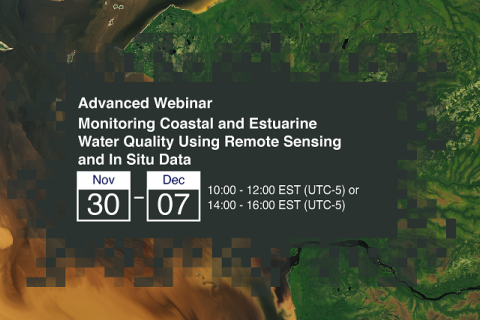
Monitoring Coastal and Estuarine Water Quality Using Remote Sensing and In Situ Data
This two-part, advanced webinar series is a follow-on to the training on coastal and estuarine water quality held in September 2021. It is a hands-on training with demos provided by instructors, followed by an hour of lab time for participants to use Level-1 MODIS and VIIRS data provided by the Ocean Biology DAAC (OB.DAAC) and SeaDAS and OCSSW software for deriving water quality parameters.
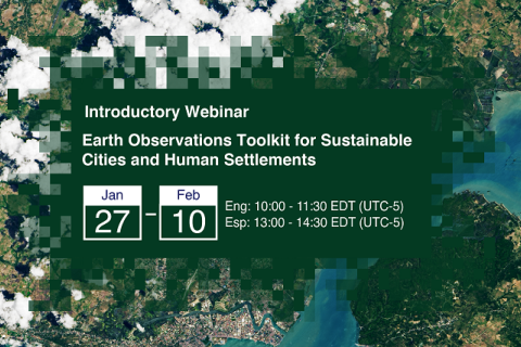
Earth Observations Toolkit for Sustainable Cities and Human Settlements
Cities around the world face numerous environmental hazards, such as extreme heat events, landslides, pollution, and flooding. Cities must monitor and address these hazards to reduce risks to, and enhance resilience of, their residents to climate change impacts.
Land Governance Data: 1st Stakeholder Meeting Dakar, Senegal
Piloting the Open Up Guide for Land Governance in Senegal
The stakeholder workshop, which will take place with select stakeholders in Dakar, will introduce the first phase of the "Open Up Guide for Land Governance" project in Senegal; identify networks and stakeholders in the open land data sector; and increase awareness regarding open data in the land sector.
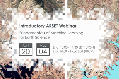
Fundamentals of Machine Learning for Earth Science
NASA’s Applied Remote Sensing Training Program (ARSET) has opened a new online introductory webinar series: Fundamentals of Machine Learning for Earth Science. This three-part training, presented in English and Spanish, is open to the public and will provide attendees an overview of machine learning in regards to Earth Science, and how to apply these algorithms and techniques to remote sensing data in a meaningful way. Attendees will also be provided with end-to-end case study examples for generating a simple random forest model for land cover classification from optical remote sensing. We will also present additional case studies to apply the presented workflows using additional NASA data.
Large Scale Applications of Machine Learning using Remote Sensing for Building Agriculture Solutions
NASA’s Applied Remote Sensing Training Program (ARSET) has opened a new open, online webinar series: Large Scale Applications of Machine Learning using Remote Sensing for Building Agriculture Solutions. Remote sensing data is becoming crucial to solve some of the most important environmental problems, especially pertaining to agricultural applications and food security. Participants will become familiar with data format and quality considerations, tools, and techniques to process remote sensing imagery at large scale from publicly available satellite sources, using cloud tools such as AWS S3, Databricks, and Parquet. Additionally, participants will learn how to analyze and train machine learning models for classification using this large source of data to solve environmental problems with a focus on agriculture.


