page search

Displaying 13 - 24 of 55

Through the Land Data Lens – What are we seeing/Not seeing?

02 May 2023

The objectives of this session are to highlight national, regional and global progress and accomplishments in outcome 3 of phase 3 of the GLTN program, to gather feedback from GLTN partners and receive proposals on the monitoring focus in phase 4, and to identify potential collaborative opportunities with GLTN partners to upscale monitoring of the land agenda.

Land Portal Foundation
Global Land Tool Network
Asian NGO Coalition (ANGOC)
United Nations Human Settlements Programme

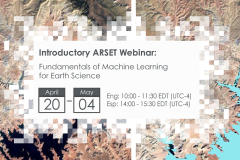
Fundamentals of Machine Learning for Earth Science

19 April 2023 - 03 May 2023

NASA’s Applied Remote Sensing Training Program (ARSET) has opened a new online introductory webinar series: Fundamentals of Machine Learning for Earth Science. This three-part training, presented in English and Spanish, is open to the public and will provide attendees an overview of machine learning in regards to Earth Science, and how to apply these algorithms and techniques to remote sensing data in a meaningful way. Attendees will also be provided with end-to-end case study examples for generating a simple random forest model for land cover classification from optical remote sensing. We will also present additional case studies to apply the presented workflows using additional NASA data.


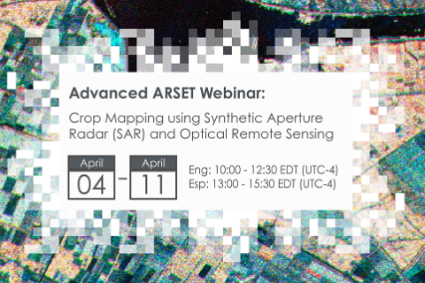
Crop Mapping using Synthetic Aperture Radar (SAR) and Optical Remote Sensing

03 April 2023 - 12 April 2023

NASA’s Applied Remote Sensing Training Program (ARSET) has opened a new online advanced webinar series: Crop Mapping using Synthetic Aperture Radar (SAR) and Optical Remote Sensing. This three-part training, presented in English and Spanish, is open to the public and builds on previous ARSET agricultural trainings. Here we present more advanced radar remote sensing techniques using polarimetry and a canopy structure dynamic model to monitor crop growth. The training will also cover methods that use machine learning methods to classify crop type using a time series of Sentinel-1 & Sentinel-2 imagery. This series will include practical exercises using the Sentinel Application Platform (SNAP) and Python code written in Python Jupyter Notebooks, a web-based interactive development environment for scientific computing and machine learning.

Connecting Citizen Science with Remote Sensing

23 January 2023 - 30 January 2023

NASA’s Applied Remote Sensing Training Program (ARSET) has opened a new open, online introductory webinar series: Connecting Citizen Science with Remote Sensing. This 3-part training, delivered in English and Spanish, will provide attendees an overview of citizen science efforts that use Earth Observations combined with ground-based information in the fields of climate change, sustainable development, ecosystem monitoring and characterization, drought, and land cover or land-use change, and will highlight case-study examples of successful citizen science projects, with some examples from NASA supported projects and activities.

FIG Working Week 2023

28 May 2023 - 01 June 2023
Orlando
United States

When our global community unites, the energy is unstoppable. That’s why FIG and the local organisers, NSPS, are thrilled to invite you for the FIG Working Week 2023. Look forward to an exciting week-long conference that brings the international community of surveying and spatial professionals together to experience a mix of interesting technical sessions and workshops, a trade exhibition and a variety of side events and social functions. 

International Federation of Surveyors (FIG)

Remote Sensing for Measuring Urban Heat Islands and Constructing Heat Vulnerability Indices

02 August 2022 - 11 August 2022

Structures such as buildings, roads, and other infrastructure absorb and re-emit the sun’s heat more than natural landscapes such as forests and water bodies. Urban areas, where these structures are highly concentrated and greenery is limited, become “islands” of higher temperatures relative to outlying areas.