
3 February 2020
The Land Portal Foundation seeks dynamic and highly motivated regional consultants to engage with land-related data and research, to develop partnerships and to communicate land information.

3 February 2020
The Land Portal Foundation seeks dynamic and highly motivated Coordinator to establish and lead an international land-related Network of Researchers to scale up the land data and information available on the Land Portal and to cement the Land Portal’s role as a reputable sources of well-founded

13 January 2020
Cadasta Foundation is pleased to welcome Chuck Conley as its new Director of GIS and Technology. In this role, Chuck will serve as Cadasta’s technology solution lead and will work alongside senior leadership to lead, analyze, develop, and implement innovative technical strategies to document the

8 January 2020
New America’s Future of Property Rights Program (FPR) was founded to answer the following question: Why is a quarter of the world’s population unable to exercise their fundamental right to property, despite advances in technology and human development?
We believe a disconnect between policymakers

26 November 2019
In the last ten years, the Land Portal has grown from being ‘simply’ a gateway to better access land data and information that is fragmented across the web, to a trusted knowledge broker that makes a difference by emphasizing data use and impact. In this time, we have accompanied our users to
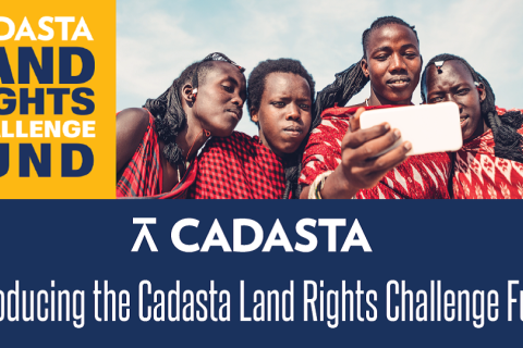
Cadasta Foundation Launches New Global Land Rights Challenge Fund to Secure Land and Resource Rights
5 November 2019
Cadasta Foundation has launched its new Global Land Rights Challenge Fund to help partners better leverage Cadasta’s innovative tools and services to document land and resource rights worldwide.
The Land Rights Challenge Fund will feature multiple grant programs through 2021, each designed to
18 October 2019
ILC and the Sheffield Institute for International Development - University of Sheffield are inviting members to express their interest to host Master students for six to eight weeks in June and July 2020. Students are self-funded. They will carry out research on land governance related issues (at

24 September 2019
New technologies used to map areas in developing nations for granting titles and aiding development could be misused to further marginalize vulnerable people, analysts and land experts warned on Friday.
From Kenya to the Philippines, authorities are using satellite imagery, drones, GPS navigation

27 August 2019
Drone data has allowed us to find solutions for a wide range of social challenges, like humanitarian aid, resource conservation, resilient urban planning and many more. But as the field has expanded, three pressing issues have emerged:
how to produce impactful analysis in a rapid manner;
how to

21 March 2019
NEW DELHI - A push to formalise land claims, map settlements and digitise records is not always in the best interests of vulnerable communities, and may even lead to greater rights abuses, analysts warned on Friday.
From Peru to the Philippines, governments are curtailing the rights of indigenous
4 March 2019
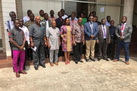
Monrovia – A three-day Experience and Lessons sharing workshop on a range of land tenure topics, including Land Administration Reforms, Customary Land Rights, Land Administration Systems, and Spatial Planning is being convened at a local hotel in Monrovia.

8 November 2018
We are honored to announce that Omidyar Network has renewed its support of the Land Portal Foundation with an investment of $400,000 to support the integration and visualization of spatial data and the dissemination of SDG-related data and information, as well as provide core funding for