page search

IssueszoningLandLibrary Resource
There are 198 content items of different types and languages related to zoning on the Land Portal.
Displaying 73 - 84 of 186

Improvement of agrarian land use

Journal Articles & Books
March, 2015
Belarus

In a course of the research there was studied identification of problems and directions of improvement of agrarian land use. The research was realized in the conditions of the Republic of Belarus. The possibility of practical application of results of estimation of production potential of agricultural organizations and ecological state of territory for economically-functional zoning of agricultural lands was examined.

Land Consolidation Zoning in Coastal Tidal Areas Based on Landscape Security Pattern: A Case Study of Dafeng District, Yancheng, Jiangsu Province, China

Peer-reviewed publication
February, 2021
China
Norway
Russia
United States of America

It is crucial to pay close attention to the ecological security in land consolidation and utilization of coastal tidal areas and make an appropriate zoning scheme to meet the characteristics of its particular landscape. Landscape security patterns can identify the patterns that are crucial to the health and security of landscape ecological processes by analyzing and simulation them. This article applies the theory of landscape security pattern to land consolidation zoning in a coastal tidal area, Dafeng District, Yancheng, Jiangsu Province.

Taking Implementation Seriously in the Evaluation of Urban Growth Management Strategies: “Safeguarding the Future” of the Antwerp City-Region

Peer-reviewed publication
February, 2021
Belgium
United States of America

Contemporary evaluations of urban growth management (UGM) strategies often take the shape of quantitative measurements of land values and housing prices. In this paper, we argue that it is of key importance that these evaluations also analyse the policy formulation and implementation phases of growth management strategies. It is in these phases that the institutions and discourses are (trans)formed in which UGM strategies are embedded. This will enable us to better understand the conditions for growth management policies’ success or failure.

Conflicting Maps: How Legal Perspectives Could Minimize Zoning Cancellation in Republic of Korea

Peer-reviewed publication
March, 2021
Central African Republic
Democratic People's Republic of Korea
United States of America

The purpose of this paper is to propose legal and policy enhancements that may prevent the cancellation of the legal force of zoning due to discord with the Korean Land Use Regulation Map (LURM) and secure legal stability. The legal force of zoning has been canceled because of the discordance of the LURM with past cadastral maps, and this has led to confusion regarding zoning decisions and even the postponement and cancellation of public projects. Here, the causes of LURM discordance and legal cancellation of zoning were identified and evaluated through judicial precedents.

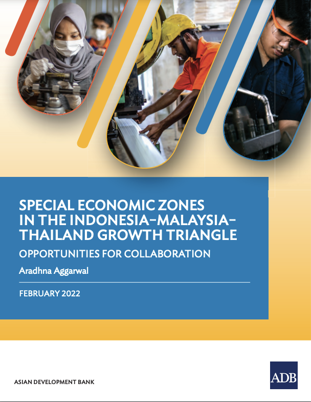
Special Economic Zones in the Indonesia-Malaysia-Thailand Growth Triangle: Opportunities for Collaboration

Reports & Research
January, 2022
Indonesia
Malaysia
Thailand

Mapping out and assessing the economic performance of SEZs across the subregion, the publication highlights the threats they face from digital technologies, rising competition for foreign investment and international trade standoffs. Against the backdrop of COVID-19, it details a range of practical steps designed to increase trade, create jobs, and build economic resilience across the three countries.

Conakry: un modèle de ville coloniale française? Règlements fonciers et urbanisme, de 1885 aux années 1920 (Conakry: A Model of French Colonial Town? Landrights and Town-Planning, from 1885 to the 1920s)

Journal Articles & Books
November, 1985
Guinea

The dynamics of land occupation in Conakry is approached from the angle of both the colonial authorities and the local dwellers. The former took upon themselves the power of allocating plots and strove to enforce a colonial urban pattern. The latter succeeded in partly appropriating the town in spite of the minutiae of the law. As the urban area extended, Conakry was divided into three zones according to an ordinance of 1905. Although the third zone was officially termed 'native', there were no ethnic or national criteria.

Spectral reflectance in the Tunesian desert

Reports & Research
December, 1992
Tunisia

.

Satellites provide the possibility to give a synoptical view of the earth surface at regular time intervals. Satellites operating in the optical wavelengths have however as disadvantage that monitoring of the surface characteristics becomes impossible as soon as clouds are present. Deserts and desert margins are for that reason much more appropriate for monitoring by optical satellites than temperate and wet tropical areas. Potential hazards, possibilities and often inaccessibility makes use of optical remote sensing very reasonable.