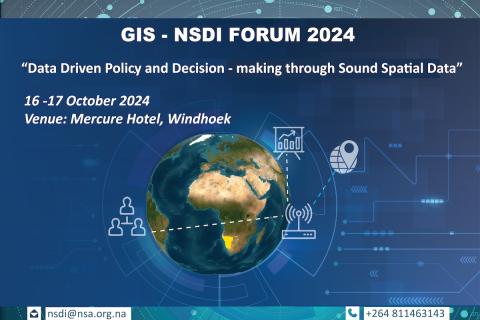
2024 NSDI Forum: Data-driven Policy and Decision-making through Sound Spatial Data
The National Spatial Data Infrastructure (NSDI) Forum is a platform to create national awareness of the NSDI and the importance of geospatial information in planning.
Inclusive Land Governance and Fit-for-Purpose Land Administration: Whose Purpose?
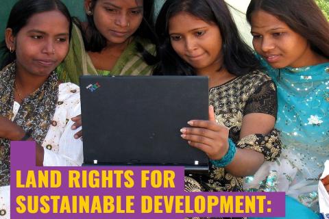
Land Rights for Sustainable Development - The Role of Data
Having secure land tenure, ensuring people's confidence in accessing, controlling and utilizing their land, is crucial for promoting sustainable land management practices. It also plays a key role in building resilience against the impacts of climate change, including extreme weather events, rising sea levels, and increased desertification due to higher temperatures.
MCC Land and Agricultural Economy Practice Group Webinar: Digital Systems for Land Administration, Part 2 October 12, 2023
You are invited to attend the MCC Land and Agricultural Economy Practice Group Webinar: Digital Systems for Land Administration, Part 2 on October 12, 8:00-9:30 AM (Washington DC time or GMT -4)
Let's Move Beyond Business as Usual: Talking about Climate Resilience & Fit-for-purpose Surveying for Land, Water & Marine
Webinar organized by the FIG Climate Compass Task Force and part of its 'Conversations & Consultations Webinar Series'. Registrations are now open.
Seventh India Land and Development Conference: Land-People Relations Diversity and Transitions
The India Land and Development Conference (ILDC) is an annual destination of diverse land actors and enthusiasts from the Global South. Since its inception in 2017, ILDC has brought together over 2500 participants from more than 70 countries, engaging in vital discussions on crucial land-related issues. This unique collective-led international conference has been a catalyst for partnerships, collaborative research, and action, contributing significantly to building a symbiotic land ecosystem in India.
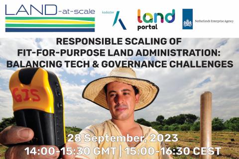
Responsible Scaling of Fit-for-Purpose Land Administration: Balancing Tech & Governance Challenges
Join us for a thought-provoking webinar that explores the challenges and future directions to scale Fit-For-Purpose Land Administration (FFPLA) based on on-the-ground experiences. FFPLA approaches are broadly recognized and applauded for being more affordable, faster and flexible (in terms of spatial identification) than conventional land administration methods.
The State of Land Data: Transforming Africa Into a Powerhouse of the Future
This webinar aimed to build the capacity of researchers and practitioners across Africa to better understand sustainable approaches to land data governance. The webinar highlighted the importance of good land data governance for improving property rights and enabling more efficient government services.
Introducing the State of Land Information Index
This side event will serve to introduce the Land Portal’s State of Land Information Index (SOLIndex), which measures openness of land data at the country and global level. The aim of this index is to make land-related findings more actionable and to complement existing land governance monitoring systems, such as tools developed by GLTN. The SOLIndex provides an overall indicator that assesses the openness of land data and information at global and country levels. The SOLIndex can be used as a diagnostic and advocacy tool for making land data more open and inclusive in support of good land governance.
This side event will explore the range of indicators that constitute the index, explore strengths, weaknesses, opportunities and threats of the collection of these indicators in an effort to obtain and incorporate feedback from GLTN Partners into the process of validating the indicator.
Uncovering Land Data Opportunities in Senegal
The momentum is increasing around international land monitoring initiatives, together with an unprecedented demand for free, accessible, and usable land data and information. The land sector must find ways to seize opportunities presented by open data innovations while negotiating a rapidly changing data environment.
The Land Portal and Open Data Charter have been working with the Government of Senegal to open up land data, following the guidance set forth in the Open Up Guide for Land Governance. The Open Up Guide is a practical guide for governments who are seeking to better collect, publish, and use land data for the public good. As Phase 1 of this project, the team has published the State of Land Information in Senegal (SOLI) Report. SOLI reports are research-driven analyses of the current state of land data that assess the available land information against open data standards.
The webinar will:
-
Share latest results from the Open Up Guide implementation pilot in Senegal and findings from the SOLI Senegal report
-
Ask and discuss questions concerning the interest in and maturity of open data in Senegal as it relates to land
-
Hear perspectives from the government of Senegal (ANAT, PROCASEF), donors (GIZ, World Bank), local community members, using specific case studies on data and land initiatives
Land tenure security revisited: Do we know what we need to know?
Strengthening security of tenure is considered a key outcome of the LAND-at-scale program as a pre-condition to improved livelihoods, resilience, and sustainable resource use. LAND-at-scale interventions employ a range of tools to achieve tenure security, in particular land mapping and registration. Despite the popularity of such interventions, the assumptions underpinning the impact pathways from registration to tenure security and derived outcomes such as improved livelihoods are not always built on a solid evidence base.

