page search

Issuesland administrationLandLibrary Resource
There are 3, 541 content items of different types and languages related to land administration on the Land Portal.
Displaying 1093 - 1104 of 1666

Gender, authority and the politics of land in Lesotho

Reports & Research
December, 2016
Lesotho

This DPhil dissertation  explores the logic, methods, and outcomes of a U.S. government- sponsored land reform in Lesotho, Southern Africa. The reform was part of a $363 million grant from the Millennium Challenge Corporation to the Kingdom of Lesotho that funded a sweeping change. Instead of local chiefs administering and allocating land, the power shifted to bureaucrats and landholders, who received leasehold titles to their land.

Recycled fable or immutable truth? Reflections on the 1973 land tenure reform project in Lesotho and lessons for the future

Journal Articles & Books
September, 2007
Lesotho

State efforts to reform the customary land tenure system of Lesotho have failed to produce intended outcomes. An explanation given for this failure is customary chiefs' opposition to state-sponsored reforms, as these were purportedly meant to curtail their power over land. This explanation initially appeared in 1974 connection with the Administration of Lands Act of 1973, and has since been handed down through generations of academics and policy analysts in Lesotho and outside and uncritically accepted as immutable truth.

Malaysian Land Administration Domain Model Country Profile

Peer-reviewed publication
July, 2015
Malaysia

Land administration is a process of recording and disseminating information about the association between people and land. To administer land matters in Malaysia, the Department of Surveying and Mapping Malaysia uses eKadaster and Land Office has eTanah which are different in e-Systems. Currently, Malaysia does not have a standard model for land administration and standardisation is one of the important aspects in a land administration process. This paper proposed a country profile model using international standards based on Land Administration Domain Model.

Enhancing Public Sector Performance

Reports & Research
October, 2017
Malaysia

This report is part of the series focusing on documenting the lessons from Malaysia for other developing countries in improving their public-sector management. These lessons include those at the center of government, such as the delivery unit method applied to the implementation of the national priorities, or implementing the elements of performance-based budgeting, as well as deeper analysis of specific approaches in various sectors. Strategies for improving public sector performance will differ in education, health, public transport, or land administration.

Webinar Report: Land Consolidation Legislation

Reports & Research
June, 2020
Global

Land consolidation is a well-proven land management instrument, which has traditionally been used for agricultural development with a main objective of reducing land fragmentation and increasing holding and farm sizes. Some European countries have a land consolidation tradition that goes back a hundred years or more. It is also widespread in particular in countries in Asia but also in Africa.

A Preliminary Study on The Formation of Land Legislation and Cadastre System in Sarawak, Malaysia

Peer-reviewed publication
April, 2019
Malaysia

Recent decades have witnessed a perceptible impact of land policy and cadastre on the urbanisation around the globe. Land legislation and cadastre system are the tools and mechanisms in order to achieve the objectives of land policy in delivering sustainable development. According to the Federal Constitution of Malaysia, article 74 empowers the State Legislative Assemblies to enact laws for the matters under the state list while land matters are one of the subjects under the list.

Africa's Land Rush: Rural Livelihoods and Agrarian Change

Journal Articles & Books
June, 2015
Africa
Ghana

Africa has been at the centre of a "land grab" in recent years, with investors lured by projections of rising food prices, growing demand for "green" energy, and cheap land and water rights. But such land is often also used or claimed through custom by communities. What does this mean for Africa? In what ways are rural people's lives and livelihoods being transformed as a result? And who will control its land and agricultural futures?

Sources of Land Information in South Africa and their Institutional Context

Reports & Research
May, 2020
South Africa

Land Portal and the Council for Scientific and Industrial Research (CSIR) have collaborated on this project designed “…to uncover, democratize and improve the land data and information ecosystem in South Africa” (Land Portal Foundation, 2019). This is one of a number of State of Land Information (SoLI) projects in an international process covering a number of countries. The first part of the project involved in-country teams scoping the information landscape (resulting in this report).

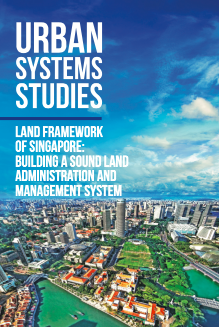
Land Framework of Singapore

Policy Papers & Briefs
November, 2018
Singapore

Long-term planning and an efficient system of land administration and management have played a critical role in Singapore’s transformation from a colonial port to highly liveable global city.

EVICTION AND RELOCATION

Reports & Research
May, 2020
Cambodia

Eviction and relocation are longstanding issues that have had severe consequences for poor communities in Phnom Penh. The right to housing is a fundamental human right, and one that is often ignored throughout the eviction and relocation process. Since the 1980s, Phnom Penh has witnessed the eviction and relocation of more than 50 communities, around 9,832 families, more than 40,000 people, most of whom suffered and continue to suffer as a result of the process.

Integrated geospatial evaluation of manual cadastral mapping: a case study of Pakistan

Peer-reviewed publication
July, 2016
Asia
Pakistan

Cadastral mapping in Pakistan is often sketched on paper or cloth and generally falls below cartographic standards, lacking details on coordinate systems, datum and directional information of parcel lines. Survey numbers for parcel identification also lack digital interoperability. Parcel measurements and ownership information are manually recorded in multiple separate registers. The objective of this study is to leverage geospatial technology for automation, auditing and validation of present manual cadastral mapping in Pakistan.

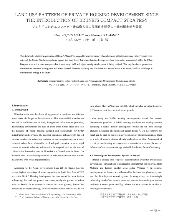
Land Use Pattern of Private Housing Development Since the Introduction of Brunei's Compact Strategy

Peer-reviewed publication
February, 2017
Brunei Darussalam

This study looks into the implementation of Brunei’s Master Plan proposal for compact strategy of developments within the designated Urban Footprint zone. Although the Master Plan lacks regulatory support, this study found that private housing developments have been mainly concentrated within the Urban Footprint zone and a more compact urban form through infill and higher density developments is being realized. This may be due to government administrative processes, housing trend and market demand.