page search

IssueswaterLandLibrary Resource
Displaying 13 - 24 of 513

Infiltration-Friendly Agroforestry Land Uses on Volcanic Slopes in the Rejoso Watershed, East Java, Indonesia

Peer-reviewed publication
August, 2020
Australia
Belgium
Canada
Indonesia
United States of America

Forest conversion to agriculture can induce the loss of hydrologic functions linked to infiltration. Infiltration-friendly agroforestry land uses minimize this loss. Our assessment of forest-derived land uses in the Rejoso Watershed on the slopes of the Bromo volcano in East Java (Indonesia) focused on two zones, upstream (above 800 m a.s.l.; Andisols) and midstream (400–800 m a.s.l.; Inceptisols) of the Rejoso River, feeding aquifers that support lowland rice areas and drinking water supply to nearby cities.

Land-Use Change and Future Water Demand in California’s Central Coast

Peer-reviewed publication
September, 2020
Australia
Brazil
Trinidad and Tobago
United States of America

Understanding future land-use related water demand is important for planners and resource managers in identifying potential shortages and crafting mitigation strategies. This is especially the case for regions dependent on limited local groundwater supplies. For the groundwater dependent Central Coast of California, we developed two scenarios of future land use and water demand based on sampling from a historical land change record: a business-as-usual scenario (BAU; 1992–2016) and a recent-modern scenario (RM; 2002–2016).

Remotely Sensed Changes in Vegetation Cover Distribution and Groundwater along the Lower Gila River

Peer-reviewed publication
September, 2020
Spain

Introduced as a soil erosion deterrent, salt cedar has become a menace along riverbeds in the desert southwest. Salt cedar replaces native species, permanently altering the structure, composition, function, and natural processes of the landscape. Remote sensing technologies have the potential to monitor the level of invasion and its impacts on ecosystem services. In this research, we developed a species map by segmenting and classifying various species along a stretch of the Lower Gila River.

Human Impact and Land Degradation in Mongolia

Peer-reviewed publication
November, 2013
Mongolia

Climate warming and human actions both have negative impacts on the land cover of Mongolia, and are accelerating land degradation. Anthropogenic factors which intensify the land degradation process include mining, road erosion, overgrazing, agriculture soil erosion, and soil pollution, which all have direct impacts on the environment. In 2009–2010, eroded mining land in Mongolia increased by 3,984.46 ha., with an expansion in surrounding road erosion. By rough estimation, transportation eroded 1.5 million ha. of land.

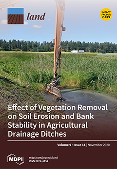
Water Erosion Reduction Using Different Soil Tillage Approaches for Maize (Zea mays L.) in the Czech Republic

Peer-reviewed publication
September, 2020
Central African Republic
Guatemala
United States of America
Philippines
Eastern Europe
Czech Republic
Spain

In today’s agriculture, maize is considered to be one of the major feed, food and industrial crops. Cultivation of maize by inappropriate agricultural practices and on unsuitable sites is connected with specific risks of soil degradation, mainly due to water erosion of the soil.

Where Do Ecosystem Services Come From? Assessing and Mapping Stakeholder Perceptions on Water Ecosystem Services in the Muga River Basin (Catalonia, Spain)

Peer-reviewed publication
September, 2020
United States of America
Spain

Reductions in water availability and increasing rainfall variability are generating a narrative of growing competition for water in the Mediterranean basin. In this article, we explore the distribution and importance of water resources in the Muga River Basin (Catalonia, Spain) based on key stakeholders’ perceptions. We performed a sociocultural evaluation of the main water ecosystem services in the region through stakeholder interviews and participatory mapping.

Proportional Variation of Potential Groundwater Recharge as a Result of Climate Change and Land-Use: A Study Case in Mexico

Peer-reviewed publication
September, 2020
Mexico
United States of America

This work proposes a methodology whereby the selection of hydrologic and land-use cover change (LUCC) models allows an assessment of the proportional variation in potential groundwater recharge (PGR) due to both land-use cover change (LUCC) and some climate change scenarios for 2050. The simulation of PGR was made through a distributed model, based on empirical methods and the forecasting of LUCC stemming from a supervised classification with remote sensing techniques, both inside a Geographic Information System.

Climatic Impact Toward Regional Water Allocation and Transfer Strategies from Economic, Social and Environmental Perspectives

Peer-reviewed publication
October, 2020
Global

Aiming to store water in wet seasons and outflow water in dry seasons, and improve reservoirs’ performance, are of great importance. Given the developmental disparities across regions and uneven precipitation within one year, water transfer could be an efficient solution.

Park, Fish, Salt and Marshes: Participatory Mapping and Design in a Watery Uncommons

Peer-reviewed publication
October, 2020
Trinidad and Tobago
Brazil
United States of America
Spain
Belgium

The Franks Tract State Recreation Area (Franks Tract) is an example of a complex contemporary park mired in ecological and socio-political contestation of what it is and should be. Located in the Sacramento-San Joaquin Delta, it is a central hub in California’s immense and contentious water infrastructure; an accidental shallow lake on subsided land due to unrepaired levee breaks; a novel ecosystem full of ‘invasive’ species; a world-class bass fishing area; and a water transportation corridor.

Unpacking water tenure for improved food security and sustainable development

Reports & Research
November, 2020
Global

Increasing understanding of the role that secure water resources tenure plays in ensuring sustainable livelihoods, just resource governance, environmental protection, and sustainable economic development has led FAO to re-kindle the debate that had begun in 2012, when the Voluntary Guidelines on the Responsible Governance of Tenure of Land, Fisheries and Forests (VGGT) were adopted by FAO, and that had culminated in 2016 with the publication of the FAO seminal study "Exploring the concept of water tenure".

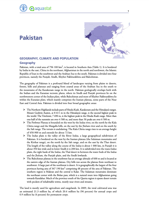
Country Profile - Pakistan

Reports & Research
November, 2011
Pakistan

The country profile is a summary of key information that gives an overview of the water resources and water use at the national level. It can support water-related policy and decision makers in their planning and monitoring activities as well as inform researchers, media and the general public. Information in the report is organized by sections:

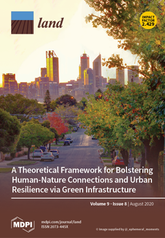
Green Stormwater Infrastructure Planning in Urban Landscapes: Understanding Context, Appearance, Meaning, and Perception

Peer-reviewed publication
December, 2020
Australia
United States of America

Prior research has documented environmental and economic benefits of green stormwater infrastructure (GSI); literature on GSI social benefits is also becoming more prevalent among scholars around the world. This paper aims to understand whether GSI projects are considered as assets to urban neighborhoods or as projects that might introduce a new set of social concerns.