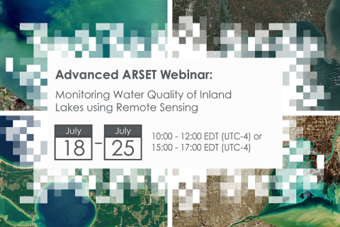
Monitoring Water Quality of Inland Lakes using Remote Sensing
17 July 2023 - 24 July 2023
NASA’s Applied Remote Sensing Training Program (ARSET) has opened a new open, online webinar series: Monitoring Water Quality of Inland Lakes using Remote Sensing. This advanced-level training will focus on using remote sensing observations from Landsat 8 and 9, Sentinel-2, and Sentinel-3 for assessing water quality parameters, including chlorophyll-a concentration, turbidity, and Total Suspended Solids (TSS) in inland lakes. This training will also highlight the importance of in situ measurements of these parameters, coincident with satellite observations, in developing methodologies for operational water quality monitoring.