page search

Issuescadastral mapsLandLibrary Resource
There are 106 content items of different types and languages related to cadastral maps on the Land Portal.
Displaying 1 - 12 of 14

Model of quality of cadastral map

Policy Papers & Briefs
November, 2010
Latvia

Cadastral map in modern market economy in different fields is marketable product. Summarized on it digital geospatial data, obtained in cadastral survey, can be widely used by many users. These data are captured using different methods of cadastral surveying therefore they have different accuracy. Land parcel boundaries are updated in compliance with data of higher accuracy. Wherewith, assessment and improvement of quality of cadastral map is very actually.

How the computer-based cadastral map is used to monitor property ownership in France

Peer-reviewed publication
May, 2015
Italy
France

The French cadastral map depicts and identifies property ownership for tax purposes. It is the only continually-updated, large-scale plot map that covers all of French territory. The map is published annually in each French municipality and has been available free of charge to the general public since 2008 on the website www.cadastre.gouv.fr/, which has proved to be extremely successful.

Land-Laws-Amendment-Bill-2015

Institutional & promotional materials
October, 2015
Kenya

The first set of the land laws were enacted in 2012 in line with the timelines outlined in the Constitution of Kenya 2010. In keeping with the spirit of the constitution, the Land Act, Land Registration Act and the national Land Commission Act respond to the requirements of Articles 60, 61, 62, 67 & 68 of the Constitution.

Cadastral maps as a basis for developing street maps: examples from Australia and Brunei

Conference Papers & Reports
October, 2011
Brunei Darussalam
Australia

Cadastral maps can be used as an effective initial set of data for new street maps in particular, and any type of large scale map project in general. This is due to a) a high degree of currency and accuracy of the digital cadastral database (DCDB); b) DCDB’s overall high level of reliability in terms of completeness; and c) the availability of DCDB to the public. It is within the context of these three notable features that the Australian and Bruneian experiences with DCDB are examined.

Integrated geospatial evaluation of manual cadastral mapping: a case study of Pakistan

Peer-reviewed publication
July, 2016
Asia
Pakistan

Cadastral mapping in Pakistan is often sketched on paper or cloth and generally falls below cartographic standards, lacking details on coordinate systems, datum and directional information of parcel lines. Survey numbers for parcel identification also lack digital interoperability. Parcel measurements and ownership information are manually recorded in multiple separate registers. The objective of this study is to leverage geospatial technology for automation, auditing and validation of present manual cadastral mapping in Pakistan.

Mapping for investability: remaking land and maps in Lesotho

Journal Articles & Books
December, 2015
Lesotho

Maps are instrumental in the commodification of land and its exchange in markets. The critical cartog- raphy literature emphasizes the ‘‘power of maps” to (re)define property relations through their descrip- tive and prescriptive attributes. But how do maps work to achieve these outcomes? This paper examines the notion of maps as ‘‘inscription devices” that turn land into a commodity that can be bought and sold by investors. It is based on the analysis of a land reform project in the Southern African country of Lesotho.

3D Cadastre and Property Rights

Journal Articles & Books
December, 2018
Global

An Introduction to 3D Cadastre

Over the last half century the world has seen rapid urbanization, which is anticipated to increase over the foreseeable future. According to the United Nations Population Division, only 30 percent of the world’s population lived in urban areas in 1950. As of 2018, that has increased to 55 percent with urbanization rates rising faster in some less developed regions.25 With the rise of urbanization, more people are living in multi-story buildings with shared services and facilities.

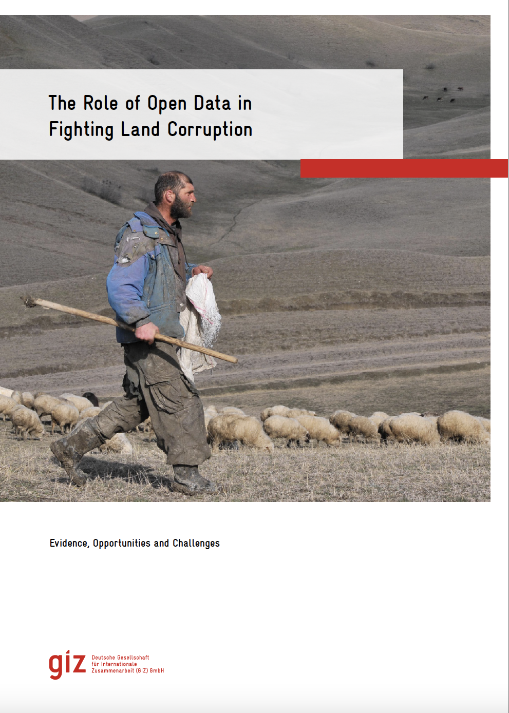
The role of open data in fighting land corruption

Reports & Research
December, 2020
Global

The rapid progress in digital information and communication technologies  (ICTs) comes with both fresh opportunities and new challenges for different sectors and actors adopting the new solutions that become available over time. Since the mid-2000s, the global land governance community has piloted a series of open data and transparency initiatives largely based on such digital innovations, aiming at increasing accountability and counteracting corruption in the land sector, both at the local and global level.

Dynamic Integration of Property Registration, Land Records and Cadastral Maps in Haryana

Reports & Research
January, 2014
India

The Department of Revenue and Disaster Management, Government of Haryana deals with maintaining   and  updating   of   revenue   records,   transaction   by   way   of   sale,   mortgage, collection   of   revenue,   consolidation of   holdings,   etc.   The   functionaries   of   Revenue department come   into   close   contact   with   general   public   in   connection   with   various ctivities/  transactions  dealing  with  immoveable  property.

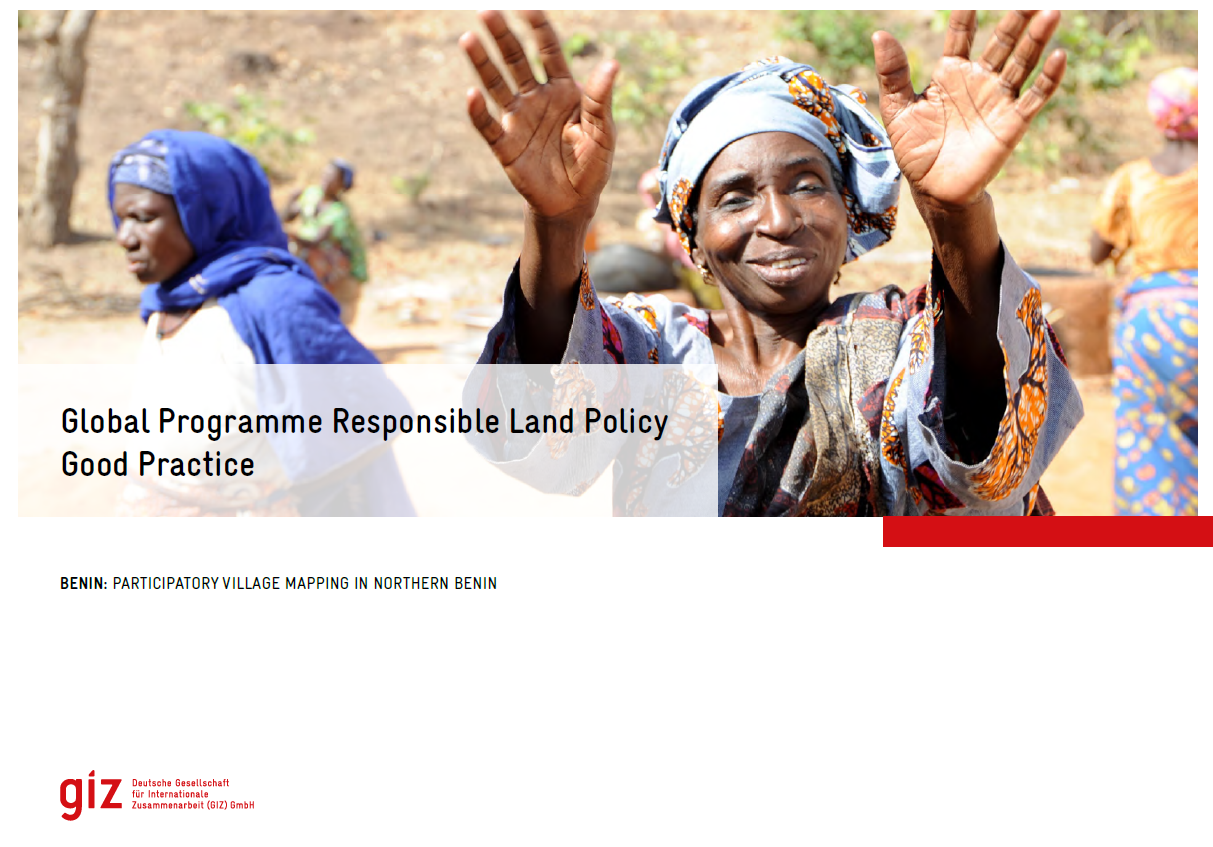
Good Practice Benin - PVM

Institutional & promotional materials
June, 2023
Benin

The Global Programme 'Responsible Land Policy' (GPRLP) is part of the Special Initiative 'One World, No Hunger' of the German Federal Ministry for Economic Cooperation and Development (BMZ), which aims to reduce extreme poverty and hunger.

State of Land Information in Madagascar

Reports & Research
August, 2023
Madagascar

This report on the land data ecosystem in Madagascar is the first step towards providing a baseline and diagnostic tool to inform conversations around land and data governance. It aims to complement existing initiatives to improve the accuracy and extent of land data in Madagascar and identify opportunities to improve public access to all forms of land information.