page search

Displaying 145 - 156 of 6252

Integrating Ecosystem Services into Land-Use Modeling to Assess the Effects of Future Land-Use Strategies in Northern Ghana

Peer-reviewed publication
September, 2020
Ghana
United Kingdom

In West Africa, where the majority of the population relies on natural resources and rain-fed agriculture, regionally adapted agricultural land-use planning is increasingly important to cope with growing demand for land-use products and intensifying climate variability. As an approach to identify effective future land-use strategies, this study applied spatially explicit modeling that addresses the spatial connectivity between the provision of ecosystem services and agricultural land-use systems.

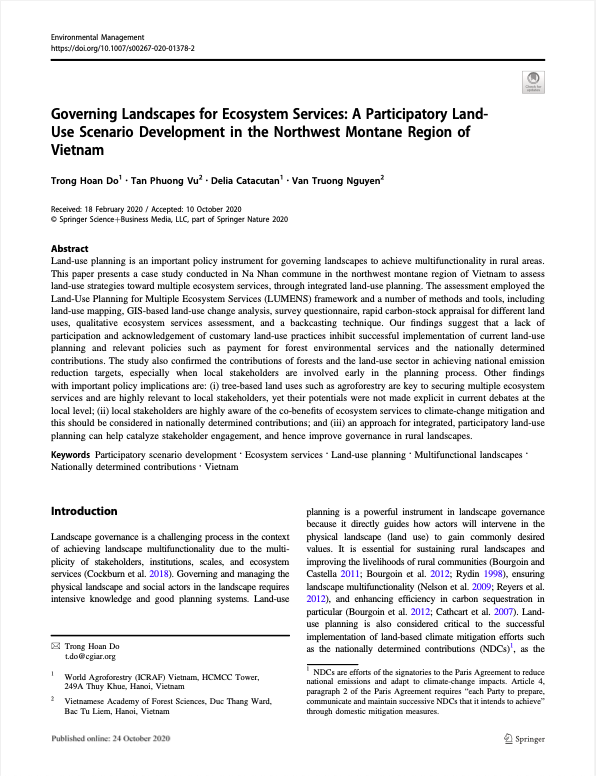
Governing Landscapes for Ecosystem Services: A Participatory Land- Use Scenario Development in the Northwest Montane Region of Vietnam

Peer-reviewed publication
September, 2020
Vietnam

Land-use planning is an important policy instrument for governing landscapes to achieve multifunctionality in rural areas. This paper presents a case study conducted in Na Nhan commune in the northwest montane region of Vietnam to assess land-use strategies toward multiple ecosystem services, through integrated land-use planning.

Green infrastructure planning: Unveiling meaningful spaces through Foursquare users’ preferences

Peer-reviewed publication
September, 2020
Spain
United States of America

The design of efficient Green Infrastructure —GI— systems is a key issue to achieve sustainable development city planning goals in the twenty-first century. This study’s main contribution is the identification of potential GI elements to better align the environmental, social and economic perspectives in the GI design by including information about the use, activities, preferences and presence of people. To achieve this, user generated content from Location Based Social Network —LBSN— Foursquare is used as a complementary data source.

30 Years of Land Cover Change in Connecticut, USA: A Case Study of Long-Term Research, Dissemination of Results, and Their Use in Land Use Planning and Natural Resource Conservation

Peer-reviewed publication
August, 2020
Norway
United States of America

Remotely sensed land cover data can be a tremendous resource to land use decision makers, yet there is often a disconnect between the worlds of remote sensing and local government. The Connecticut’s Changing Landscape project is focused on bridging this gap. The project analyzes changes to the state’s landscape using Landsat-derived 30-m land cover and cross-correlation analysis. It includes seven dates spanning 30 years, from 1985 to 2015.

Sustainable Population Growth in Low-Density Areas in a New Technological Era: Prospective Thinking on How to Support Planning Policies Using Complex Spatial Models

Peer-reviewed publication
July, 2020
Global

Urban development is the result of the interaction between anthropogenic and environmental dimensions. From the perspective of its density, it ranges from high-density populated areas, associated with large cities that concentrate the main economic and social thrust of societies, to low-density populated areas (e.g., rural areas, small–medium-sized cities). Against the backdrop of the new technological and environmental era, this commentary offers insights on how to support spatial planning policies for sustainable urban growth in low-density areas.

What constraints the expansion of urban agriculture in Benin?

Journal Articles & Books
July, 2020
Benin
Africa

Propelled by rapid urbanization, city administrations in low-and middle-income countries face a raft of challenges to secure food and nutrition for its poor urban dwellers. Urban agriculture (UA) seems a viable intervention to address urban food insecurity, however, experience has shown that urban gardens do not expand at the expected rate. Tackling this issue requires a deeper understanding of the main constraints that block UA expansion. Benin is not an exception; the country witnesses a breathtaking growth of its main cities that is in synchronization with a mounting food insecurity.

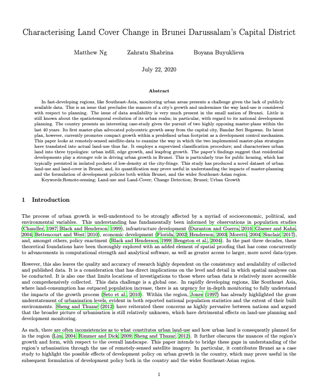
Characterising Land Cover Change in Brunei Darussalam’s Capital District

Journal Articles & Books
June, 2020
Brunei Darussalam

In fast-developing regions, like Southeast-Asia, monitoring urban areas presents a challenge given the lack of publicly available data. This is an issue that precludes the nuances of a city’s growth and undermines the way land-use is considered with respect to planning. The issue of data availability is very much present in the small nation of Brunei. Little is still known about the spatiotemporal evolution of its urban realm; in particular, with regard to its national development planning.

The significance of different realms of value for agricultural land in Sweden

Peer-reviewed publication
June, 2020
Sweden

The demand for additional agricultural land is expected to rise by approximately 50 per cent by 2050 on a global level, and agricultural land of high quality needs to be preserved to ensure future food security. However, agricultural land per capita is decreasing. One of the main reasons for this in the EU and globally is the building of houses or infrastructure on agricultural land. There is a possibility that the Swedish agricultural sector will grow in the future and supply more regions than its own territory with food due to, e.g., climate change.

Policy intent meets reality: the conformance of 20 years of metropolitan compact activity centre policy in greater Brisbane, Australia

Reports & Research
June, 2020
United States of America
Australia

For two decades, increasing concerns about urban sustainability have driven Australian metropolitan planning efforts to call for fundamental changes to existing urban forms. These changes are intended to develop more compact cities characterised by a poly-nodal network of dense activity centres. In this paper we provide the first long-term, comprehensive evaluation of the implementation of this policy in greater Brisbane.

Les futurs du foncier : modes d’accumulation du capital, droit de propriété et production de la ville

Journal Articles & Books
May, 2020
Global

Fondement de toute implantation humaine et matière première de l’aménagement urbain, le foncier est devenu une cible privilégiée d’investissement par une multitude d’acteurs qui concourent à sa valorisation rapide dans un grand nombre de territoires urbains. Pour saisir les profondes mutations à l’œuvre dans les dynamiques foncières, nous les abordons dans ce chapitre en lien avec les transformations des cadres macro-économiques et institutionnels des capitalismes contemporains.

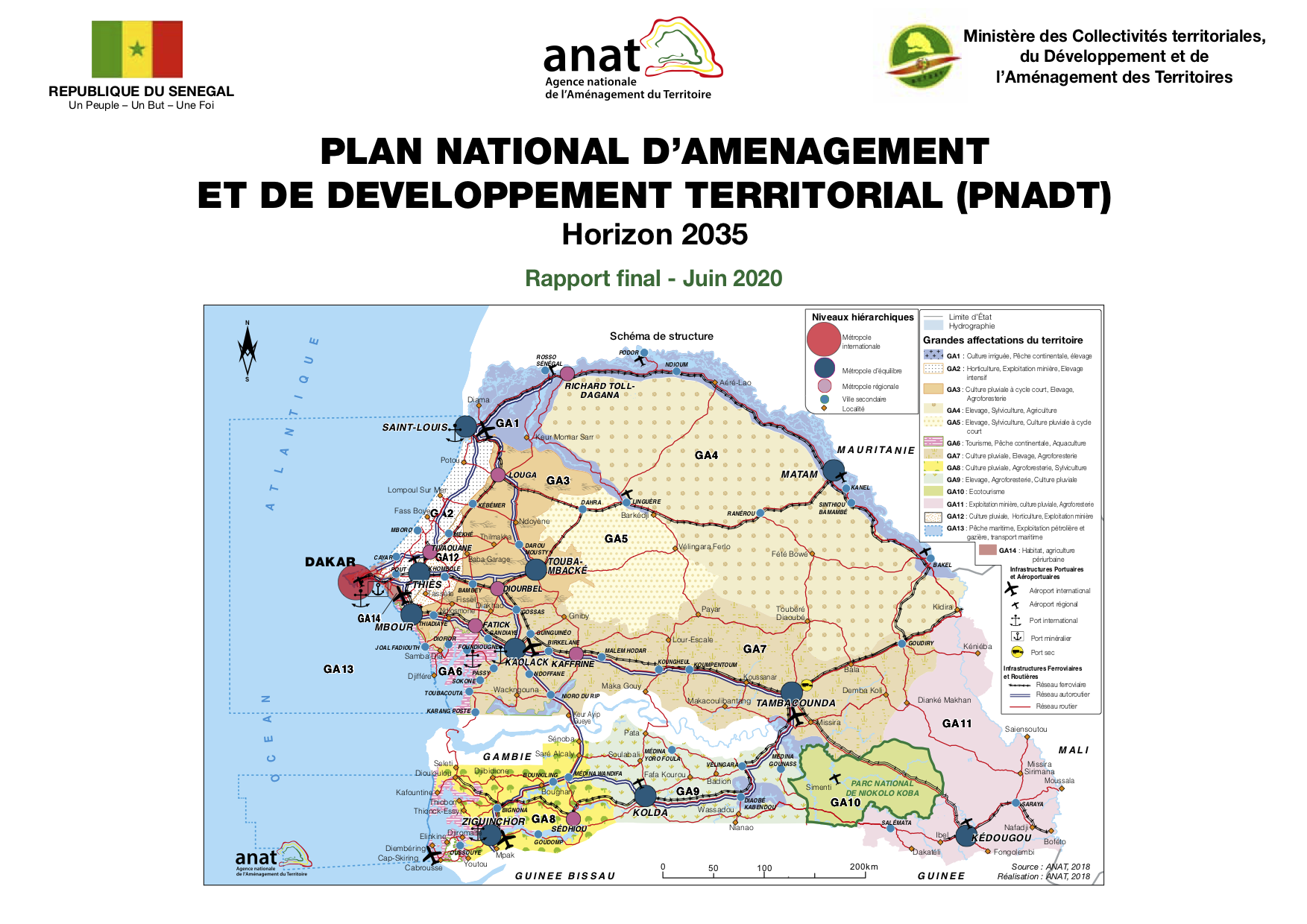
Plan national d’aménagement et de développement territorial (PNADT)

National Policies
May, 2020
Senegal

Le présent rapport est composé, en plus de l’introduction générale, de la conclusion et de la bibliographie, de quatre parties :

• Première partie : Analyse du territoire ;

• Deuxième partie : Présentation de la vision et des orientations stratégiques ;

• Troisième partie : Propositions d’aménagement et de développement du territoire ; • Quatrième partie : Stratégie de mise en œuvre du PNADT.

From City- to Site-Dimension: Assessing the Urban Ecosystem Services of Different Types of Green Infrastructure

Peer-reviewed publication
May, 2020
United States of America

Cities have a wide variety of green infrastructure types, such as parks and gardens. These structures can provide important ecosystem services (ES) with a major impact on human well-being. With respect to urban planning, special consideration must be given to such green infrastructure types when implementing measures to maintain and enhance the quality of life. Therefore, generating knowledge on the urban ES of differently scaled green infrastructure types is important.