page search

Displaying 6865 - 6876 of 17898

Law No. 74/2017 amending Law No. 31/2014 on the general basis for public policies on soils, land use and urbanism.

Legislation
August, 2017
Portugal

This Law amends article 78 of the general basis for policies on public soils, land use and urbanism. Amended article establishes that the special territorial planning plans in force shall be transposed, according to the law, to the inter-municipal or municipal master plan and other plans applicable to the area covered by the special plans, until 13 July 2020. Provisions shall apply to special plans relating to alteration, suspension and preventive measures applicable to inter-municipal and municipal plans.

Template for Standardized Description of Sustainable Land Management (SLM) Technologies with a Focus on Field-Landscape Level

Institutional & promotional materials
August, 2017
Tunisia
Northern Africa

This off-line CRP-DS/ICARDA template of SLM technology description is partly adapted from those of WOCAT, however with major modifications and additions. It has six (6) main parts. The information fields that are inherited and modified from the WOCAT template are marked with WOCAT (Note: Inherited from WOCAT) and MW (Note: Modifed from WOCAT), respectively. All new fields are kept unmarked. All compulsory fields are highlighted with a red asterrisk (*).

Transcending landscapes: Working across scales and levels in pastoralist rangeland governance

Journal Articles & Books
August, 2017

Landscape approaches can be subjected to mistakenly targeting a single “best” level of governance, and paying too little attention to the role that cross-scale and cross-level interactions play in governance. In rangeland settings, resources, patterns of use of those resources, and the institutions for managing the resources exist at multiple levels and scales.

Impact evaluation of SLM options to achieve land degradation neutrality in Tunisia: Junior officer monthly reports.

Reports & Research
August, 2017
Tunisia
Africa
Northern Africa

This report details mainly the author's professional activities performed with the ICARDA Centre in Amman (Jordan) for the period 1 December 2016 ' 30 July 2017, under the supervision of Dr. Quang Bao Le (Systems- and GIS-based Sustainable Land Management ' SLM, at ICARDA Amman), and Mr. Enrico Bonaiuti (Monitoring Evaluation and Learning ' MEL, ICARDA Amman).

Coastal Protection and Management Regulation 2017.

Regulations
August, 2017
Australia

This Regulation, consisting of 16 sections divided into four Parts and completed by four Schedules, implements the Coastal Protection and Management Act 1995. It approves coastal zone map—Act, s 18C. For section 18C of the Act, the Coastal zone map for Queensland, certified by the chief executive on 3 October 2011, is approved as the coastal zone map. The exact location of the boundary of the coastal zone shown on the map is held in digital electronic form by the department.

FAO Strategy on Climate Change

August, 2017
Global

"There is no peace without tackling food security and eliminating hunger and there will be no food without tackling climate change.” A couple of days ago, the UN Food and Agriculture Organization (FAO) has published a new and all-encompassing framework on climate change. The organization acknowledges the enormous threats posed by climate change, and outlines how it will tackle environmental changes in the future.

Proyecciones futuras asociadas a los eventos extremos fríos en el sudeste de sudamérica sobre la perspectiva del modelo HadCM3

Journal Articles & Books
August, 2017
Paraguay
Uruguay
Brazil
Argentina
South America

Las simulaciones del modelo HadCM3 fueron de las primeras disponibles para el análisis de proyecciones futuras, reflejándose en la literatura que describe principalmente variables de temperatura y precipitación para Sudamérica. El objetivo de ese trabajo es investigar los cambios en la circulación atmosférica en el sudeste de Sudamérica asociada a eventos extremos fríos, en el escenario de emisiones futuras más crítico denominado A2, para el periodo 2081-2100 respecto a un periodo climatológico de referencia 1961-1990, considerando el modelo HadCM3 y los datos del reanálisis NCEP/NCAR.

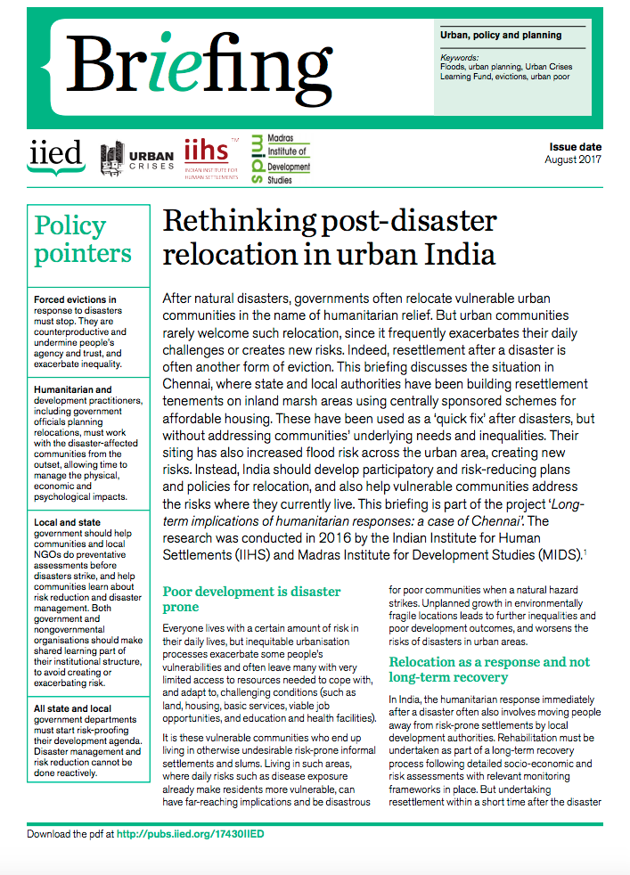
Rethinking post-disaster relocation in urban India

Policy Papers & Briefs
July, 2017
India

After natural disasters, governments often relocate vulnerable urban communities in the name of humanitarian relief. But urban communities rarely welcome such relocation, since it frequently exacerbates their daily challenges or creates new risks. Indeed, resettlement after a disaster is often another form of eviction. This briefing discusses the situation in Chennai, where state and local authorities have been building resettlement tenements on inland marsh areas using centrally sponsored schemes for affordable housing.

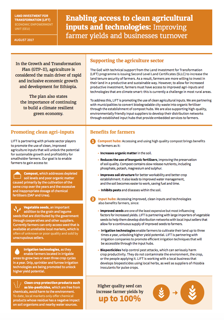
Enabling access to clean agricultural inputs and technologies: Improving farmer yields and businesses turnover

Policy Papers & Briefs
July, 2017
Ethiopia

Supporting the agriculture sector

The GoE with technical support from the Land Investment for Transformation (LIFT) programme is issuing Second Level Land Certificates (SLLC) to increase the land tenure security of farmers. As a result, farmers are more willing to invest in their land in a productive and sustainable way. However, to allow for increased productive investment, farmers must have access to improved agri-inputs and technologies that are climate smart: this is currently a challenge in most rural areas.

World Bank Resilience M&E

Reports & Research
Training Resources & Tools
July, 2017
Africa
Kenya
Mozambique
Eastern Asia
South-Eastern Asia
Oceania

These case studies were developed as part of the World Bank's Results Monitoring and Evaluation for Resilience Building Operations (ReM&E) project, which aims to develop and increase the application of systematic, robust, and useful approaches to monitoring and evaluation (M&E) for resilience-building projects/programs within the World Bank. The case studies propose to foster a grounded understanding of good ReM&E practices through real-world examples.

Definition and visualization of the context socio-ecological type (CSET)

Videos
July, 2017
Global

The GeOC tool is divided in 2 components: the web-based geographic information system (called WEB-GIS tool) and the Sustainable Land Management (called SLM tool).
This videos focus on WEB-GIS interface. This video shows how a context socio-ecological type can be defined and which the different outputs that the GeOC offers are.
To check the GeOC tool, please follow this link: http://geoc.mel.cgiar.org

Introduction of the GeOC

Videos
July, 2017
Global

Under the Economics of Land degradation initiative (ELD), scientists from ICARDA are collaborating with developments to develop the GeOC tool. It is a new web-based GIS tool to define context specific options for sustainable land management required to achieve Land Degradation Neutrality (LDN).
This video gives further more infromation about the GeOC tool.
To check the GeOC tool, please follow this link: http://geoc.mel.cgiar.org