
Classification Concepts The FAO Land Cover Classification System software is due to be released in its third version, and with it come four supporting volumes. The first of these is Classification Concepts, which lays the foundation for an understanding of the Land Cover Metalanguage (LCML)…
As World leaders forged two new big deals in late 2015 – the Sustainable Development Goals (SDGs) and the Climate Change Agreements – over 200 experts and technical officers working in fields related to land and water management, participated in the 3rd Land and Water Days held at the Food and…

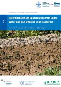

Waterlogged and salt-affected soils are serious environmental hazard indicators for wasteland problems in arid and semi-arid regions of the World. Similarly human activities in agricultural and urban sustainable developments have also led to the development of waterlogging and subsequent…
Urban sprawl is threatening the limited highly fertile land in the Nile delta of Egypt. Landsat TM satellite images of 1984, 1992 and ETM+ of 2006 have been used to study the impact of urban sprawl on agricultural land of the Northern Nile delta, Egypt. Visual interpretation using on screen…
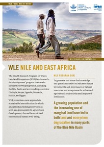
Environmental land degradation is a major impediment to the utilization of land in many arid and semi-arid regions of the World and is a major issue in the East Nile Delta (END), Egypt. Waterlogging and salt-affected soil problems have serious implications for irrigated areas leading to socio-…
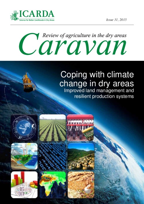
This issue of Caravan showcases some of ICARDA’s efforts of coping with climate change in dry areas with improved water land management and resilient production systems. These include initiatives in conservation agriculture which provide sustained production levels while conserving the…
Israel became an FAO member in 1949, and has provided highly valuable expertise to FAO and its member countries. In addition to offering technical assistance to FAO projects on capacity development for pest and pesticide management, Israel’s agency for International Development regularly holds…
Based on a broad literature review, this publication discusses rural women’s time poverty in agriculture, elaborates on its possible causes and implications and provides insight into the various types of constraints that affect the adoption of solutions for reducing work burden. This paper…