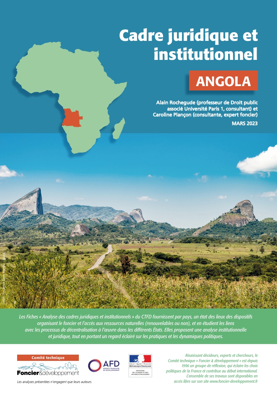
Les fiches « Analyse des cadres juridiques et institutionnels » du CTFD fournissent par pays, un état des lieux des dispositifs organisant le foncier et l’accès aux ressources naturelles (renouvelables ou non), et en étudient les liens avec les processus de décentralisation à l’œuvre dans les…
Developing countries are increasingly focusing more on land policy as part of their development plans. Ghana created its National Land Policy in 1999 but hasn't updated it in over 25 years, despite significant changes in land governance. Land policy reforms since colonial times were carried…
Land information is critical for equitable land governance that benefits the most vulnerable and drives economic growth, sustainable development, and food security. However, land data and information sources remain highly fragmented, unstructured and do not present the full range of perspectives…
Context and background:
Urban green areas are critical in generating community social, economic, environmental, and health advantages. However, clear and reliable data on the spatial extent, distribution, accessibility, and attractiveness of green spaces and parks in the three African…
This study contributes to the observed reduction of arable lands discourse by examining the shift in land use patterns as well as factors influencing farmers' shift from crop production to mining activities. To achieve this, we employed a combination of Geographic Information System (GIS)…
Cocoa is the economic backbone of Côte d’Ivoire and Ghana, making them the leading cocoa-producing countries in the world. However, cocoa farming has been a major driver of deforestation and landscape degradation in West Africa. Various stakeholders are striving for a zero-deforestation cocoa…
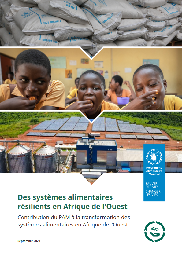
2023 - Systèmes alimentaires résilients en Afrique de l'Ouest - Contribution du PAM à la transformation des systèmes alimentaires en Afrique de l'Ouest
Ce document montre comment la structure globale du PAM pour la transformation des systèmes alimentaires est adaptée au contexte…
Mining And Its Implications On Food Security In Amansie West And South Districts, Ghana.
YouthMappers are using open geospatial tools in support of initiatives seeking to achieve SGD 2 Zero Hunger and SDG 1 No Poverty in Northern Ghana. Students and researchers designed survey questions and a field data collection workflow using simple but cost-effective technology to catalogue a…


