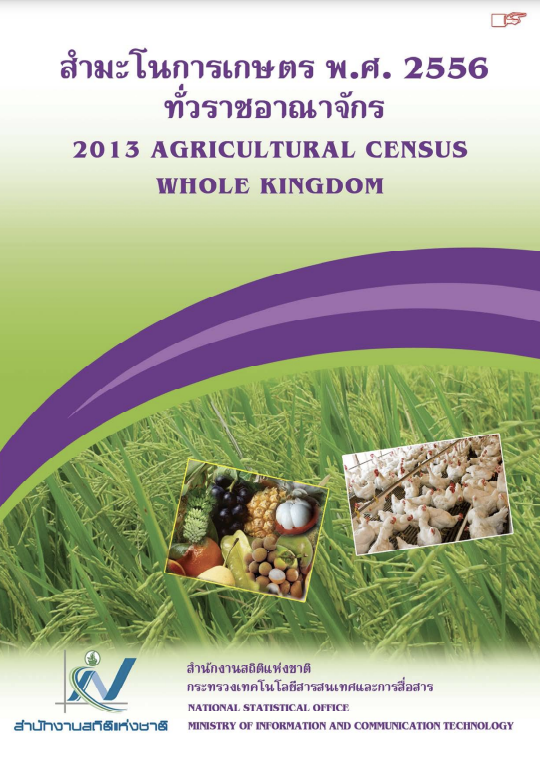
The National Statistical Office has conducted the Agricultural Census every 10 years in accordance with the recommendation of the Food and Agriculture Organization (FAO) and this census round was the sixth of its series. The census aims to provide basic information of the structure of…
Using Bangmaenang District in the urban fringe of Bangkok Metropolitan Region in Thailand as a case study area, this study aims at examining agricultural land-use changes after the 2011 Floods with special focus on farmers' intentions of orchard use and management. Supervised image…
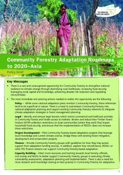
There is a vast and unrecognized opportunity for community forestry to strengthen national resilience to climate change through diversifying rural livelihoods, increasing food security, leveraging social capital and knowledge, advancing disaster risk reduction and regulating microclimates.…
Community forestry supports local level climate change adaptation by enhancing resilience in multiple ways: supporting livelihoods and income, increasing food security, leveraging social capital and knowledge, reducing disaster risks and regulating microclimates. However, adaptation planning has…
The new book <em>Forests under Pressure: Local Responses to Global Issues</em> is the third major publication produced by the Special Project World Forests, Society and Environment (WFSE) of the International Union of Forest Research Organization (IUFRO). The book was launched at the…
Land Economics/Use, Production Economics,
Research from seven countries (Cambodia, Indonesia, Lao PDR, Nepal, the Philippines, Thailand and Vietnam) in the Asia-Pacific region shows that sustainable practices are inherent to the community forestry enterprise (CFE) business model and vital for communities to sustain and enhance their…
This report summarizes the findings of a
study partially financed by the joint United Nations
Development Programme (UNDP)/World Bank Energy Sector
Management Assistance Programme (ESMAP). A plan was
designed to phase out…
Using plot-level data, the authors
estimate a bi-variate probit model to explain land clearing,
and the siting of protected areas in North Thailand in 1986.
Their model suggests that protected areas (national parks,
together…
Integrated Watershed Management represents an option for the management of water catchment areas. However, what may sound good in theory often proves to be very difficult when it comes to practical implementation, as an example from the Lower Mekong Region shows.


