Focal point
Location
CDE’s mission is to contribute to sustainable development in countries of the North, South, and East, through:
- research partnerships
- education and training
- development of concepts and tools
- raising awareness,
- policy advice.
Centre for Development and Environment
CDE focuses on:
- management of natural resources,
- integrated regional development, and
- interventions that mitigate syndromes of global change.
CDE places special emphasis on:
- highland-lowland interactions, and on
- high-potential – low-potential
- centre – periphery relationships.
CDE employs disciplinary and transdisciplinary approaches. Linking analysis and synthesis, and combining high-end and low-end methods, such as GIS-based earth observation and participatory field-based approaches, are typical of our programmes.
CDE supports the principles of subsidiarity, empowerment and partnership, while acknowledging the importance of research, planning and decision-making at regional, national and international levels.
Members:


Resources
Displaying 11 - 13 of 13NO FIM NÃO VAI FICAR NADA

A landscape mosaics approach for characterizing swidden systems from a REDD+ perspective

Swidden agriculture is often deemed responsible for deforestation and forest degradation in tropical regions, yet swidden landscapes are commonly not visible on land cover/use maps, making it difficult to prove this assertion. For a future REDD+ scheme, the correct identification of deforestation and forest degradation and linking these processes to land use is crucial. However, it is a key challenge to distinguish degradation and deforestation from temporal vegetation dynamics inherent to swiddening.
New publication- Mapping and Geoprocessing Tools in Support of Rural Advisory Systems
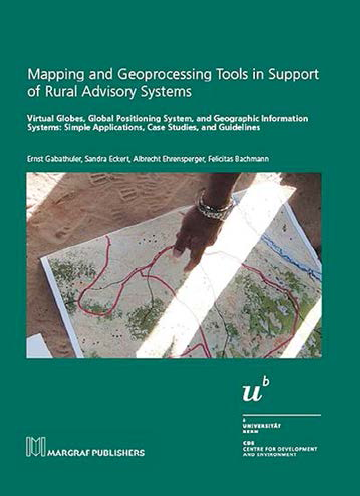
The main objective of this book is to demonstrate the potential that geoprocessing tools have for supporting rural extension and development. The focus is on the Global Positioning System (GPS), virtual globes, and simple geographic information systems (GIS). Based on examples, and without any claim to comprehensiveness, the book offers a range of insights into the use of these geoprocessing tools in interventions in the context of international development cooperation.