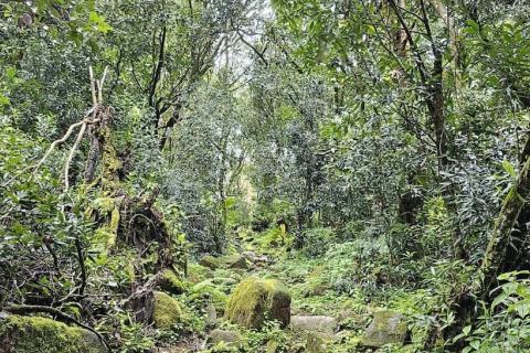
Navigating Loss and Damage: A Path to Justice for Indigenous Peoples and Local Communities
The Loss and Damage Fund, established at COP28, represents a crucial step toward addressing the impacts of climate change, especially for Indigenous Peoples and local communities. This webinar will explore the operationalization of the fund and examine its practical and conceptual implications.
Exploring diversity, equity, and inclusion at the Land Portal

Land rights and critical minerals: what’s necessary for a just energy transition?
700+ indicators
Statistical data aggregated from trusted providers
66,000+ resources
Searchable library of open access publications

![]()
A controlled vocabulary
and powerful tool
for making data and information
more discoverable.
![]()
An easy-to-use tool
for bringing together and visualizing
statistical and geospatial data
related to land issues.

Open Up
guide for
Land Governance
Countries
Issues
Join the Debate
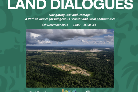
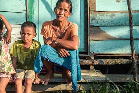
Navigating Loss and Damage: A Path to Justice for Indigenous Peoples and Local Communities
The Loss and Damage Fund, established at COP28, represents a crucial step toward addressing the impacts of climate change, especially for Indigenous Peoples and local communities. This webinar will explore the operationalization of the fund and examine its practical and conceptual implications.
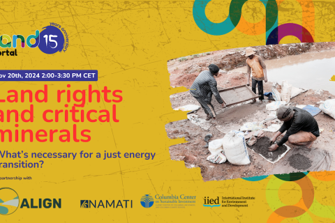
Land rights and critical minerals: what’s necessary for a just energy transition?
Inclusive Land Governance and Fit-for-Purpose Land Administration: Whose Purpose?

Events
Navigating Loss and Damage: A Path to Justice for Indigenous Peoples and Local Communities
The Loss and Damage Fund, established at COP28, represents a crucial step toward addressing the impacts of climate change, especially for Indigenous Peoples and local communities. This webinar will explore the operationalization of the fund and examine its practical and conceptual implications.
The Third Arab Land Conference

The Government of Morocco is hosting the Third Arab Land Conference in Rabat on the 18-20 February 2025.
Land rights and critical minerals: what’s necessary for a just energy transition?
Data
Community lands of Mozambique
Community Land Delimitations in Mozambique
The "Delimitações de Terras Comunitárias" layer represents the aggregated delimitations of community lands in Mozambique, compiled by various entities over the years. This layer includes:
- Community Boundaries: The spatial limits of each community.
- Delimitation Documents: Process documentation for community delimitations, which may need further completion or improvement.
- Population Estimates: Estimated population for each community.
Why Does the Dataset Matter?
The "Delimitações de Terras Comunitárias" dataset is crucial for understanding and managing land governance in Mozambique. It provides a detailed and transparent view of community land boundaries, helping to safeguard the rights and livelihoods of local communities. By making this data publicly accessible, it supports legal recognition, conflict resolution, and sustainable land use planning.
Problem, Policy Implementation Monitored
This dataset addresses the problem of unclear land boundaries and the risk of land conflicts. It monitors the implementation of Mozambique's Land Policy, adopted in November 2022, which emphasizes the importance of accurate and up-to-date land information as part of a good governance agenda. The policy calls for mechanisms that ensure public access to information on the legal status of lands and integrated planning and monitoring systems involving various governance levels and local communities.
Gap Filled by Indicator Set
The dataset fills a critical gap by providing comprehensive, validated information on community land delimitations, which was previously fragmented or inaccessible. This helps local communities assert their land rights and supports governmental and non-governmental organizations in land governance and development planning.
Why Does the Dataset Matter for the Land Governance Community?
The dataset is essential for the land governance community as it provides:
- Accurate Community Boundaries: Clear delineation of land used by communities.
- Delimitation Documents: Documentation of the delimitation process, aiding in legal validation and historical record-keeping.
- Population Estimates: Data on the population within each community, crucial for resource allocation and development planning.
Issue the Indicator Set is Related To
The indicator set is related to land tenure security, conflict resolution, and sustainable land use. Specific indicators chosen from the dataset include:
- Number of communities with legally recognized boundaries.
- Number of delimitation documents completed and verified.
- Population estimates per community area.
Status of the Dataset
- Data Release: The dataset has been compiled over several years from various sources.
- Publication Date: The data was published through the MADICO Geoportal, with updates and new submissions continuously integrated.
Methodology
The dataset is compiled using participatory rural appraisals, geo-referencing, and validation processes involving local communities, NGOs, and government agencies. The methodology includes:
- Questionnaire: Example questions include details about land usage, boundaries, and cultural sites.
- Geo-referencing: Communities use GPS tools to map boundaries.
- Participatory Rural Diagnosis (PRD): Engaging community members in identifying and validating land boundaries.
For detailed methodology, refer to the methodology section provided by the data providers on the MADICO Geoportal.
Main Results
The dataset provides a comprehensive view of community land delimitations, including:
- Spatial boundaries of each community.
- Documents related to the delimitation process.
- Population estimates for each community.
Main results and reports are accessible through the MADICO Geoportal, offering detailed insights into the status and progress of community land delimitations.
Who is Involved?
- Custodian: Ministry of Land & Environment, with technical assistance from Terra Firma.
- Data Providers: Local communities, NGOs, civil society organizations, government archives, private companies, and online sources.
- Donors and Partners:
- Embassy of Holland (initial support in 2016)
- Swiss Development Corporation in Mozambique
- Integrated Land & Resource Governance (ILRG) Programme of USAID
- Future financial support planned from the Ministry of Land & Environment
This collaborative effort ensures that the dataset remains accurate, up-to-date, and relevant for all stakeholders involved in land governance and development in Mozambique.
Prindex - Global Property Rights Index - 2019/2020
Prindex stands for the Global Property Rights Index, an indicator of citizens' perceptions of the security of land and property rights. Prindex is an initiative of ODI and Land Alliance supported by Omidyar Network, DFID and other donors. It aims to fill the gap in information about individual perception of tenure security, by creating a baseline global dataset covering more than 100 countries, to support the achievement of secure property rights around the world.
An initial phase of development of the index and testing its application was carried out in ten countries during 2016 and 2017. After the development phase, the index was turned into globalized collections in 2018. In 2019, with data added to the Gallup World Poll, Prindex expanded to a total of 141 countries worldwide. In July of 2020, Prindex released comparative results from its data collection and found that almost 1 billion people worldwide feel that they are vulnerable to losing their house or property over the next five years.
For additional information about the methodology and the questionnaire, as well as the full data are available on the new Prindex website: https://www.prindex.net/.

Source: Prindex Comparative Report, Figure 2 (p. 12,) July 2020.
World Bank - Gender Indicators
The Gender Data Portal is the World Bank Group’s comprehensive source for the latest sex-disaggregated data and gender statistics covering demography, education, health, access to economic opportunities, public life and decision-making, and agency. Moreover, they contain information about land ownership by sex.
Library
Progress towards the SDG land degradation and restoration commitments 2023

When UN member states adopted the Sustainable Development Goals (SDGs) in 2015, we celebrated world leaders’ recognition of the foundational and strategic role that sustainable land management must play to advance climate resilience, biodiversity conservation, and maintain sufficient food supplies for us all.
Progress Towards the SDG Land Rights Commitments
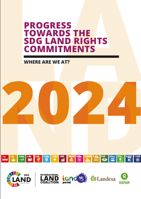
Secure land rights for all—women and men, regardless of ethnicity or religion, or civil, economic, social, or political status—are foundational for achieving a world free of poverty, hunger, and systematic gender discrimination. So, in 2015, we celebrated when world leaders recognized the critical importance of land rights within Agenda 2030 and the Sustainable Development Goals. Member States’ ambitious written commitments, however, have not been followed by on-the-ground action.
Land Portal Annual Report 2023
The Land Portal Foundation's 2023 Annual Report presents a comprehensive overview of our efforts and accomplishments in transforming land data governance worldwide.
Our report highlights three fundamental pillars that have guided our work: Inform, Open, and Debate. Through these pillars, we've expanded our global database of land and property rights programs, enhanced land governance data management, supported data literacy and advocacy, and facilitated critical debates on land governance issues.