There is no doubt that we are living in the era of information. Availability of accurate and up to date information, including data, is critical to planning and management, for transparency and accountability. It can help inform learning and scale up good practices, as well as implementing policy, especially when it comes to land. While it is an often-repeated rhetoric that there is a lack of land data, the reality is slightly more nuanced than this. Data on land is actually collected and captured on a massive scale, yet research shows that of all existing data worldwide, less than 1% is actually analyzed and digested. This means that the vast majority of existing data is purposely cast aside (as the source may be from outside our trusted networks) or simply overlooked. In many parts of the world, this is because land data remains inaccessible, fragmented, poorly managed or simply unusable.
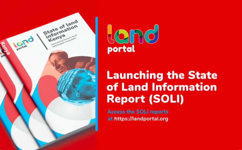
This is where the Land Portal’s new research project comes in: the State of Land Information report. The Report identifies the many sources of land data and information on a country-level and provides the general public with an easy overview, of any and all data or information activity taking place, and where they can help fill in the gaps! "For as long as the Land Portal has existed, we have been hearing that there is a need for an overview: who has what data and where are the gaps? For the first time, we are providing a comprehensive and open overview, without any judgment on the content of the data or its sources. We leave that to the users. This is what we know about what's out there and we encourage all to use it in the way they see fit." says Lisette Mey, Information Management Officer at the Land Portal.
Our most recent reports on four countries in East Africa, for example, aim to uncover the many different sources of land data and information in Kenya, Tanzania, Uganda and South Sudan and thus provide a basis to substantiate or refute the often-repeated rhetoric that there is a lack of land data in these countries. For the very first time, we have looked at the entire landscape of data and information related to key land topics in these four countries, assessing over 690 land resources from 317 different sources, to see trends and gaps when it comes to data availability as well as how accessible it is on the world wide web.
Many may ask what the purpose of such an elaborate exercise is. In fact, our aim is quite simple. First and foremost, our job is never to judge the quality of data or information at country level, or at any level for that matter. We believe that judgement of all information can remain at the discretion of the end user. What our job does entail, however, is to assess what information is available in country, on land, and to identify gaps, in the hopes of encouraging harmonization, rather than duplication of efforts, with a view to establishing a baseline for targeted ‘information-based’ interventions to improve the information ecosystem.
What sets this research apart from other monitoring initiatives? For the very first time, we look at the entire landscape of a country to see trends and gaps when it comes to data collection, as well as how accessible it is on the world wide web. Why is accessibility important? “Because even if data or information sources do exist, if others can’t access it or use them, it is nearly impossible for the data to make a real or large-scale impact. Only if others can access and use data and information, turning it into knowledge, does it reach its full potential and impact” says Laura Meggiolaro, Team Leader at the Land Portal Foundation.
"Countries do need to take stock now and then of their whole land information system. In South Africa, generally well planned land administration systems have tended to grow incrementally. What start out as well structured and managed systems, like the Cadastre and the Deeds Registry, can over time become much larger and more complex, and therefore harder to read” says Mark Napier, principal researcher at the Council for Scientific and Industrial Research. He also mentions that unclear information creates gaps that private sector companies can take advantage of. “It is only by regularly having a look at the whole land information ecosystem that we start to see how these datasets (both government and non-government) and the relationships between the actors are constantly changing. The question to consider is whether the change in the ecosystem is moving in the right direction and it is becoming more open and accessible, or not. This is terribly important, particularly at the current time in South Africa, when land reform is a very charged issue running up to the next election. Good information is sorely needed to inject some evidence-based reality into the many heated debates, and to assist with the policy decisions that have to be faced”, he goes on to say.
The State of Land Information report concludes with -where necessary- concrete recommendations to data and information providers to improve their data sharing practices, to help establish a functioning, inclusive and democratized ecosystem of data.


