Missed an interesting event or property rights? Find out the headlines and information about any past events or conferences.
World Bank Land Conference 2025
4th International Land Management Conference

Photo by Patrick Sheperd/CIFOR (Creative Commons Attribution)
Conference Themes
Theme 1: How can secure land rights benefit climate action?
The Third Arab Land Conference

The Government of Morocco is hosting the Third Arab Land Conference in Rabat on the 18-20 February 2025.
International Soil and Water Forum 2024
Navigating Loss and Damage: A Path to Justice for Indigenous Peoples and Local Communities
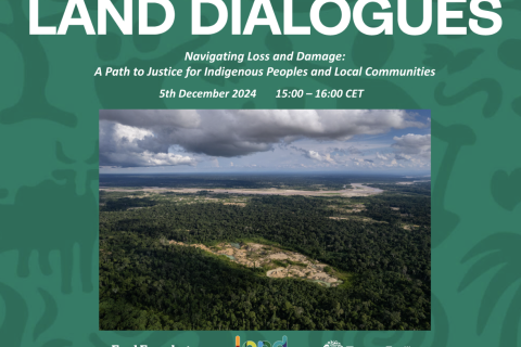
The Loss and Damage Fund, established at COP28, represents a crucial step toward addressing the impacts of climate change, especially for Indigenous Peoples and local communities. This webinar will explore the operationalization of the fund and examine its practical and conceptual implications.
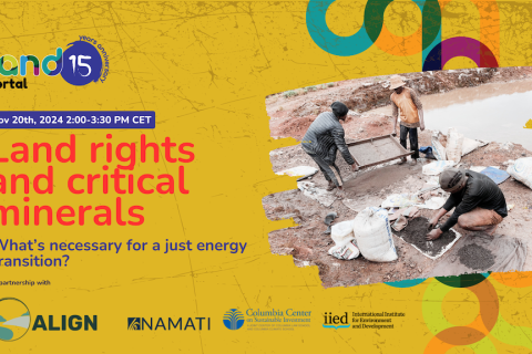
Land rights and critical minerals: what’s necessary for a just energy transition?
Innovations towards the Digitalization of Cadastral Services
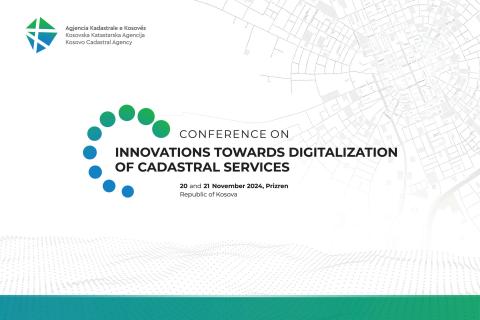
Under the theme “Innovations towards the Digitalization of Cadastral Services,” this conference aimed to drive innovation and excellence in the field. Over two days, participants explored the latest breakthroughs and advancements in cadastral technology, learning from the experiences of local and international experts.
An Introduction to Synthetic Aperture Radar (SAR) and Its Applications
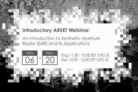
Synthetic Aperture Radar (SAR) has the capability to observe the Earth's surface both day and night and through most weather conditions, making it an ideal sensor to support a wide range of science and applications.
Eighth India Land and Development Conference, ILDC 2024
The Eighth India Land and Development Conference, ILDC 2024 will be organised from 5-7 November 2024 at FLAME University, Pune, India.
The Twelfth Session of the World Urban Forum (WUF12)

WUF12 will focus on localizing the Sustainable Development Goals, shedding light on the local actions and initiatives required to curb the current global challenges affecting the daily life of people, including unaffordable housing, rising living costs, climate change, the lack of basic services, and ongoing conflicts.
It all starts locally.
Launch of Prindex Report: Global tenure security and property rights
The right to adequate housing and the peaceful enjoyment of private property are fundamental human rights. Yet, globally, the accessibility and security of these rights remain unequal and unsustainable.
52nd Plenary Session of the Committee on World Food Security (CFS 52)
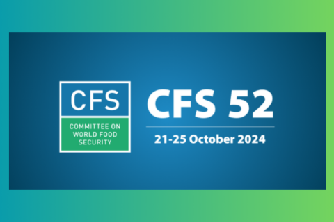
The 52nd Plenary Session of the Committee on World Food Security (CFS 52) was held from 21 to 25 October 2024 in Rome, Italy.