page search

Issuescadastral registerLandLibrary Resource
Displaying 13 - 24 of 62

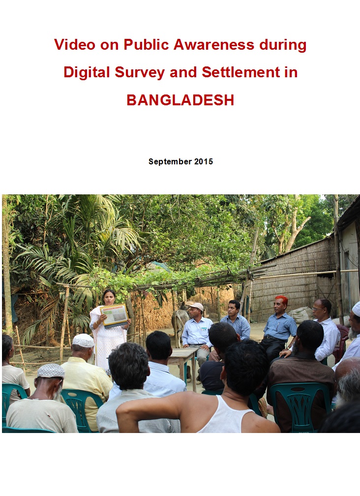
Video documentary on public awareness activities of Digital land Survey and Settlement

Videos
February, 2015
Bangladesh

Uttaran (www.uttaran.net) is a local organisation (Bangladesh) working with vulnerable landowners i.e. women, widow, indigenous, minority and landless people to promote access to land. Uttaran is implementing a project titled, Sustainable Access to Land Equality-SALE' with support of European Union. SALE is the civil society component of overall access to land project that is lead by Department of Land Records and Surveys (DLRS) and Ministry of Land in Bangladesh.

Animated movie on Integrated Digital Land Records Systems -IDLRS in Bangladesh

Videos
August, 2016
Bangladesh

Uttaran (www.uttaran.net) is a local organisation (Bangladesh) working with vulnerable landowners i.e. women, widow, indigenous, minority and landless people to promote access to land. Uttaran is implementing a project titled, Sustainable Access to Land Equality-SALE' with support of European Union. SALE is the civil society component of overall access to land project that is lead by Department of Land Records and Surveys (DLRS) and Ministry of Land in Bangladesh.

Handbook on Land Laws

Legislation & Policies
Legislation
National Policies
February, 2015
Kenya

The Land Act, 2012

The Land Registration Act, 2012

The National Land Commission Act, 2012

The Environment & Land Court Act, 2011

The Urban Areas & Cities Act, 2011

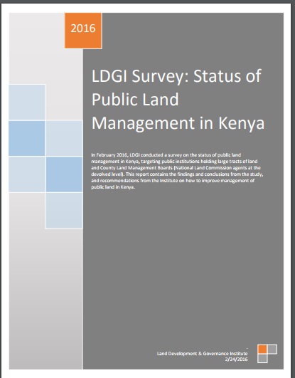
LDGI Survey

Journal Articles & Books
Reports & Research
January, 2016
Kenya

Public land is a resource that should be effectively managed in the public’s best interest in line with provisions of the Constitutions of Kenya and the Land Act. The management framework governing land use and development decisions on public land should ensure protection and sustainable management of the land. Despite these provisions in law, recent media reports point toresurgenceof public land grab. The Land Development and Governance Institute commissioned this research study to establish the status of the public land management in Kenya.

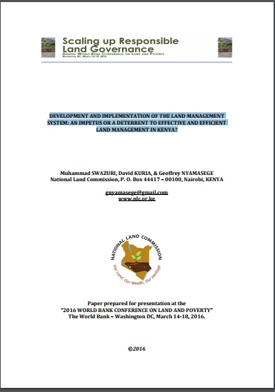
DEVELOPMENT AND IMPLEMENTATION OF THE LAND MANAGEMENT SYSTEM: AN IMPETUS OR A DETERRENT TO EFFECTIVE AND EFFICIENT LAND MANAGEMENT IN KENYA?

Journal Articles & Books
February, 2016
Kenya

A Land Information Management System (LIMS) is an information system that enables the capture, management, and analysis of geographically referenced land-related data in order to produce land information for decision-making in land administration and management. The system is a Geospatial Information System (GIS) driven for the purposes of handling and managing parcel based information. The Republic of Kenya, located in East Africa, ranks 33rd in the world in terms of population with 38.6 million people and has a land area of 224,081 square miles.

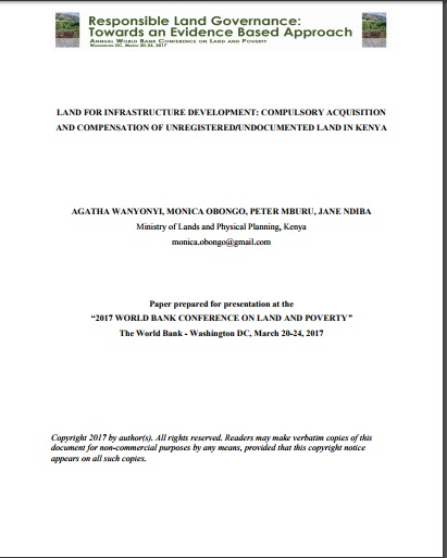
Land for infrastructure development: compulsory acquisition and compensation of unregistered/undocumented land in Kenya

Journal Articles & Books
February, 2017
Kenya

Kenya’s Vision 2030 aims at transforming the country into a newly industrialized middle income country


and infrastructural development is high on the agenda to achieve this. Competing land uses and existing


interests in land make the use of eminent domain by government in acquiring land inevitable. However


most of the land earmarked for compulsory acquisition comprises of un- registered land whose interests


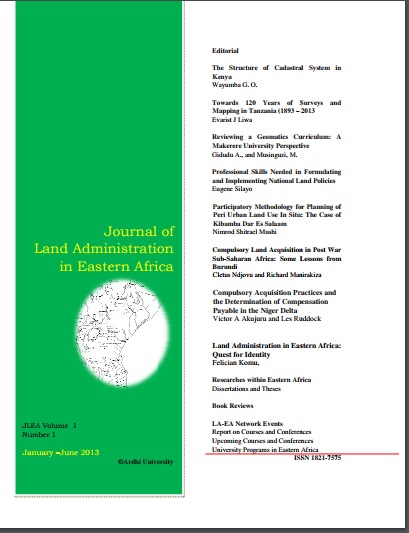
The Structure of Cadastral System in Kenya

Journal Articles & Books
May, 2013
Africa
Kenya

The cadastral system2 in Kenya was established in 1903 to cater for land alienation for the white settlers. Since then, a hundred years later, the structure of the system has remained more or less the same despite major changes in surveying technology. The government of Kenya has realized that the current structure is not conducive to economic demands of the 21st century and is interested in re-organizing the structure in line with the current constitutional dispensation and new paradigms in land management.

DEVELOPING LAND INFORMATION MANAGEMENT SYSTEM (LIMS) FOR COUNTY GOVERNMENTS IN KENYA: A CASE STUDY KIRINYAGA COUNTY.

Journal Articles & Books
February, 2017
Kenya

This paper describes the development of a Land Information Management System (LIMS) for County Governments in Kenya. In the new Constitution 2010, devolution of some national government functions and formation of county governments was provided for. These invoked the development of new land laws to guide the devolution processes and procedures. According to the County Government Act 2012, all County Governments are supposed to develop digital Geographic Information System (GIS) based spatial plans and these calls for development of LIMS for and efficient breakthrough.

AN EVALUATION OF THE CADASTRAL SYSTEM IN KENYA AND A STRATEGY FOR ITS MODERNIZATION

Reports & Research
July, 2013
Kenya

The Cadastral system in Kenya was established in 1903 to support land alienation for the white settlers who had come into the country in the early part of the 20th Century. In the last hundred years, the system has remained more or less the same, where land records are kept in paper format and majority of operations are carried out on a manual basis. The lack of a modern cadastral system has contributed to problems in land administration in the country.

Cadastral Systems and their Impact on Land Administration in Kenya

Journal Articles & Books
September, 2001
Kenya

The mandate of the Kenya Government in its objective to achieve sustainable development is to reduce poverty by half by 2015 and transform the country into a newly industrailized nation by the year 2020. This paper reviews the cadastral systems that have been formulated and implemented in Kenya ; the different concepts and techniques used in the preparation of cadastral survey plans and maps; and the impact of the cadastre as a source of spatial data in support of land administration processes.