

19 January 2021
The Ministry of Land Management, Urban Planning and Construction has reasserted its authority to conduct cadastral surveys of land plots that aim to establish leaseholder rights over state private land.
State private land is legally defined as all property that belongs to the state but does not
7 October 2020
The Netherlands Enterprise Agency (RVO) is seeking (an) organization(s) to implement the LAND-at-scale intervention in Colombia.

1 September 2020
In the six months since the coronavirus began its global spread, more than 15 million people have been diagnosed with COVID-19 and more than 600,000 have perished. Governments around the world have instituted lockdowns and shut down businesses. Entire industries have been devastated, notably travel
16 July 2020
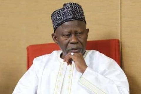
I write to you as a Kombo native; and as a Gambian, to express my concern at the continuing expropriation of customary lands. The gravity of the crisis is causing a sense of insecurity in Kombo’s traditional landowners.

9 April 2020
The COVID-19 pandemic continues to turn our world upside down, and our thoughts are with everybody directly or indirectly affected by the virus. To ensure the health and safety of all of us and those around us, LANDac has made the following decisions.
LANDac 10-year anniversary

3 February 2020
The Land Portal Foundation seeks dynamic and highly motivated Coordinator to establish and lead an international land-related Network of Researchers to scale up the land data and information available on the Land Portal and to cement the Land Portal’s role as a reputable sources of well-founded

13 January 2020
Cadasta Foundation is pleased to welcome Chuck Conley as its new Director of GIS and Technology. In this role, Chuck will serve as Cadasta’s technology solution lead and will work alongside senior leadership to lead, analyze, develop, and implement innovative technical strategies to document the

24 September 2019
New technologies used to map areas in developing nations for granting titles and aiding development could be misused to further marginalize vulnerable people, analysts and land experts warned on Friday.
From Kenya to the Philippines, authorities are using satellite imagery, drones, GPS navigation

27 August 2019
Drone data has allowed us to find solutions for a wide range of social challenges, like humanitarian aid, resource conservation, resilient urban planning and many more. But as the field has expanded, three pressing issues have emerged:
how to produce impactful analysis in a rapid manner;
how to

13 July 2018
The Land Portal is an independent nonprofit foundation based in The Netherlands. The Land Portal pioneered the open data revolution in the land sector and is committed to building an information ecosystem for land governance that ultimately supports better informed decision and policy making at